Enekatcha Lake, Northwest Territories, Canada
This page is currently not sponsored. Click here to sponsor this page.

Key
Lock Map

| Latitude & Longitude (WGS84): | 61° 52' North , 102° 45' West |
|---|---|
| Latitude & Longitude (decimal): | 61.86667,-102.75000 |
| GeoHash: | G#: cdyzvy7xr |
| Locality type: | Lake |
| Köppen climate type: | Dfc : Subarctic climate |
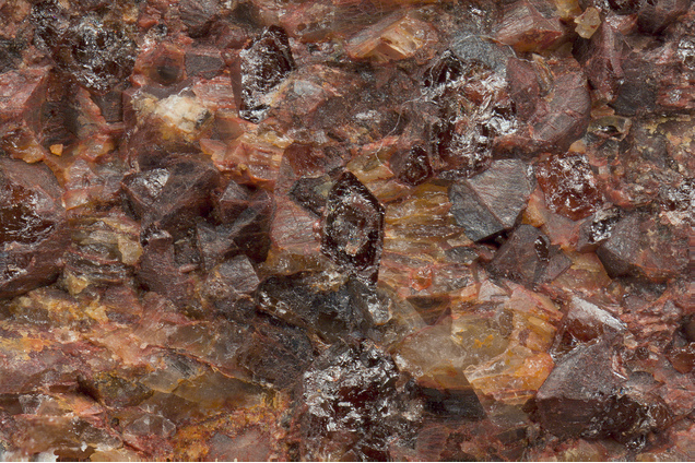
A strong circular gamma ray anomaly about 12 km in diameter, with a strong magnetic anomaly at its center, is southeast of the lake. Outcrop is very poor in the area but there are numerous boulders in glacial moraines of coarse-grained ultrapotassic syenite, enriched in U-Th-REE. They are probably derived from underlying intrusive rocks, equivalent to approx. 1.83 Ga minette volcanic rocks and dykes exposed throughout much of the Kivalliq District (Christopher Island Formation, Baker Lake Group, Dubawnt Supergroup).
Mineral List
1 valid mineral.
This page contains all mineral locality references listed on mindat.org. This does not claim to be a complete list. If you know of more minerals from this site, please register so you can add to our database. This locality information is for reference purposes only. You should never attempt to
visit any sites listed in mindat.org without first ensuring that you have the permission of the land and/or mineral rights holders
for access and that you are aware of all safety precautions necessary.
References
Sort by Year (asc) | by Year (desc) | by Author (A-Z) | by Author (Z-A)
Miller AR, Blackwell GW, 1992. Petrology of alkaline rare earth element-bearing plutonic rocks, Enekatcha Lake (65E/15) and Carey Lake (65L/7) map-areas, District of Mackenzie. In: Richardson DG, Irving M, Program Summaries: Canada-NWT Mineral Development Agreement 1987-1991, GSC Open File 2484, 129-134


Enekatcha Lake, Northwest Territories, Canada