Moengo, Marowijne District, Surinamei
| Regional Level Types | |
|---|---|
| Moengo | Municipality |
| Marowijne District | District |
| Suriname | Country |
This page is currently not sponsored. Click here to sponsor this page.
Latitude & Longitude (WGS84):
5° 37' 0'' North , 54° 23' 59'' West
Latitude & Longitude (decimal):
Locality type:
Köppen climate type:
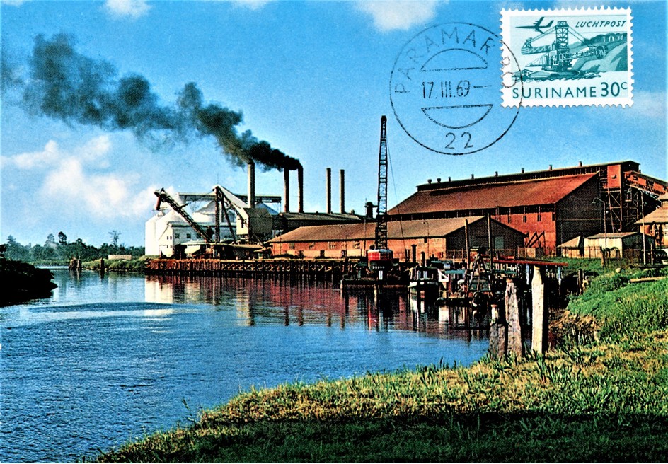
Moengo is a town in Suriname, located in the Marowijne district, between Paramaribo and the border town Albina on the Cottica River. Moengo is also a resort (municipality) in the district of Marowijne. Moengo was the capital of Marowijne District between 1932 and 1945. The current capital is Albina.
Rock Types Recorded
Note: data is currently VERY limited. Please bear with us while we work towards adding this information!
Rock list contains entries from the region specified including sub-localities
Select Rock List Type
Alphabetical List Tree DiagramList of minerals for each chemical element
Other Databases
| Wikipedia: | https://en.wikipedia.org/wiki/Moengo |
|---|---|
| Wikidata ID: | Q24226 |
Localities in this Region
- Marowijne District
- Moengo
Other Regions, Features and Areas containing this locality
South AmericaContinent
South America PlateTectonic Plate
This page contains all mineral locality references listed on mindat.org. This does not claim to be a complete list. If you know of more minerals from this site, please register so you can add to our database. This locality information is for reference purposes only. You should never attempt to
visit any sites listed in mindat.org without first ensuring that you have the permission of the land and/or mineral rights holders
for access and that you are aware of all safety precautions necessary.


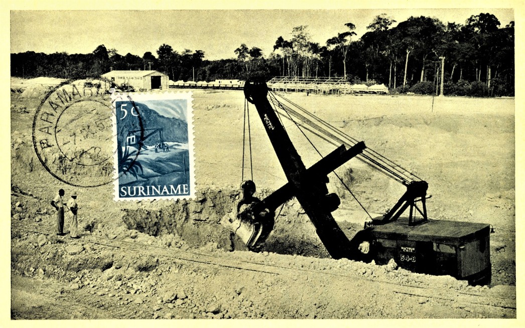
Moengo Mine, Moengo, Marowijne District, Suriname