Trekopje Mine, Arandis Constituency, Erongo Region, Namibiai
| Regional Level Types | |
|---|---|
| Trekopje Mine | Mine |
| Arandis Constituency | Constituency |
| Erongo Region | Region |
| Namibia | Country |
This page is currently not sponsored. Click here to sponsor this page.
Latitude & Longitude (WGS84):
22° 11' 17'' South , 14° 49' 17'' East
Latitude & Longitude (decimal):
Locality type:
Köppen climate type:
Nearest Settlements:
| Place | Population | Distance |
|---|---|---|
| Arandis | 4,507 (2012) | 29.4km |
| Swakopmund | 25,047 (2018) | 62.3km |
An open-pit mine on an uranium deposit in the central Namib Desert, at Trekopje, approximately 65 Km north-east of Swakopmund. The mineral licence area covers approximately 37,368 ha, and includes parts of the farms Trekkopje, klein Trekkopje and Arandis. The vertical extent of the mineralisation, which is roughly stratiform, is variable, but most of it occurs within 30 m below surface. (J. Kinahan, Quaternary Research Services, Windhoek)
Select Mineral List Type
Standard Detailed Gallery Strunz Chemical ElementsDetailed Mineral List:
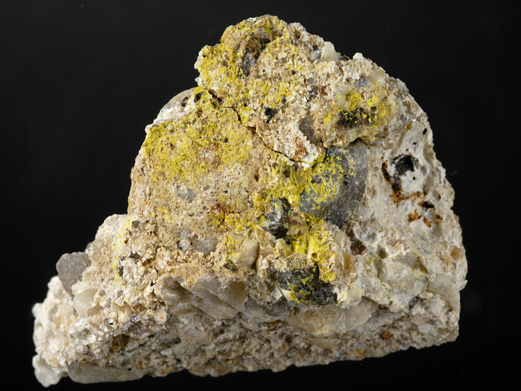
| ⓘ Carnotite Formula: K2(UO2)2(VO4)2 · 3H2O Reference: www.altamet.com.au/.../ALTA%20U%2009,%20Uranium%20Heap%20Leaching%20Gaining%20Polularity.pdf |

Gallery:
List of minerals arranged by Strunz 10th Edition classification
| Group 4 - Oxides and Hydroxides | |||
|---|---|---|---|
| ⓘ | Carnotite | 4.HB.05 | K2(UO2)2(VO4)2 · 3H2O |
List of minerals for each chemical element
| H | Hydrogen | |
|---|---|---|
| H | ⓘ Carnotite | K2(UO2)2(VO4)2 · 3H2O |
| O | Oxygen | |
| O | ⓘ Carnotite | K2(UO2)2(VO4)2 · 3H2O |
| K | Potassium | |
| K | ⓘ Carnotite | K2(UO2)2(VO4)2 · 3H2O |
| V | Vanadium | |
| V | ⓘ Carnotite | K2(UO2)2(VO4)2 · 3H2O |
| U | Uranium | |
| U | ⓘ Carnotite | K2(UO2)2(VO4)2 · 3H2O |
References
Sort by
Year (asc) Year (desc) Author (A-Z) Author (Z-A)Other Regions, Features and Areas containing this locality
African PlateTectonic Plate
This page contains all mineral locality references listed on mindat.org. This does not claim to be a complete list. If you know of more minerals from this site, please register so you can add to our database. This locality information is for reference purposes only. You should never attempt to
visit any sites listed in mindat.org without first ensuring that you have the permission of the land and/or mineral rights holders
for access and that you are aware of all safety precautions necessary.


Trekopje Mine, Arandis Constituency, Erongo Region, Namibia