| Locality type: | Road Cutting |
| Classification |
|---|
|
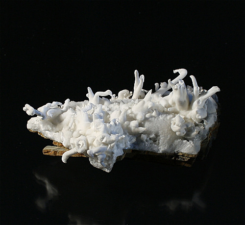
| Species: | Aragonite var: Flos Ferri |
| Formula: | CaCO3 |
| Confirmation |
|---|
|
| Validity: | Believed Valid |
| Associated Minerals Based on Photo Data: |
|---|
|
| Aragonite | ⓘ1 photo of Flos Ferri associated with Aragonite at this locality. |
| Data |
|---|
|
| Mineral Data: | Click here to view Flos Ferri data |
| Locality Data: | Click here to view Forestry road cut, Bürgl Alp (Bürgel Alp), Dienten am Hochkönig, Zell am See District, Salzburg, Austria |
| Photo Gallery | View Gallery (6 photos) |
| Data Identifiers |
|---|
|
| Mindat Occurrence Record ID: | 212603 |
| Long-form Identifier: | 1:3:212603:6 |
| GUID (UUID V4): | 4481f191-aeeb-4817-9914-d7a9a1e8be94 |
| Nearest other occurrences of Flos Ferri |
|---|
|
|
| 15.5km (9.7 miles) | ⓘHöllgraben, Werfen, St. Johann im Pongau District, Salzburg, Austria |
| 26.3km (16.4 miles) | ⓘChristoph adit, Schwarzleo mining district, Schwarzleograben, Hütten, Leogang, Zell am See District, Salzburg, Austria |
| 35.3km (21.9 miles) | ⓘDigrub (Diegrub), Abtenau, Hallein District, Salzburg, Austria |
| 58.6km (36.4 miles) | ⓘBärenkopf (Bärenkogel), Teuchlbach valley, Penk, Reißeck, Spittal an der Drau District, Carinthia, Austria |
| 92.9km (57.7 miles) | ⓘRingenwechsel mining district, Schwaz District, Tyrol, Austria |
| 95.6km (59.4 miles) | ⓘFalkenstein, Falkenstein mining district, Schwaz District, Tyrol, Austria |
| 98.4km (61.2 miles) | ⓘSchwarzenberg quarry (Katsch quarry), Katsch an der Mur, Teufenbach-Katsch, Murau District, Styria, Austria |
| References |
|---|
|
|


Forestry road cut, Bürgl Alp, Dienten am Hochkönig, Zell am See District, Salzburg, Austria