| Locality type: | Deposit |
| Classification |
|---|
|
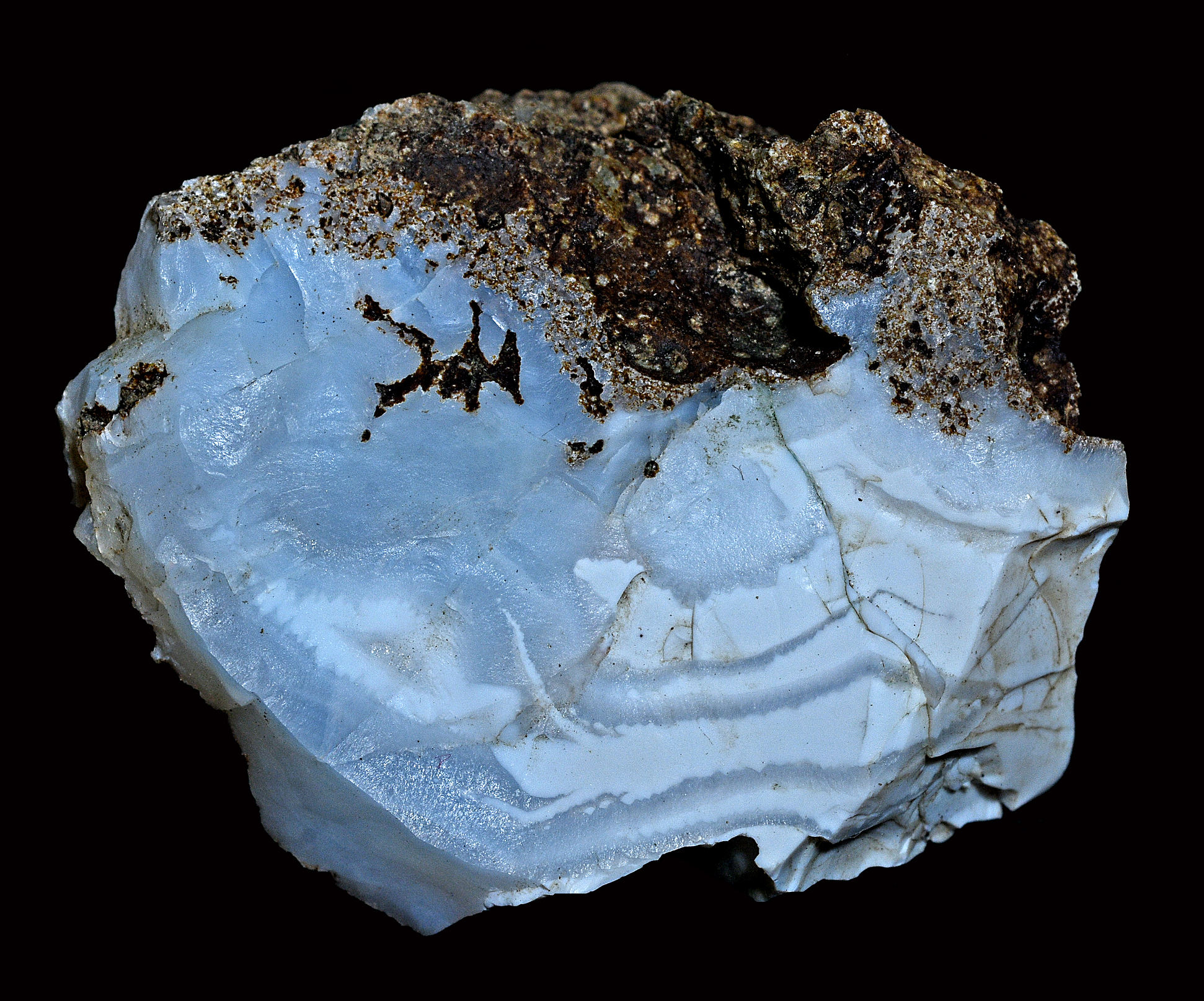
| Species: | Opal |
| Formula: | SiO2 · nH2O |
| Confirmation |
|---|
|
| Validity: | Believed Valid |
| Data |
|---|
|
| Mineral Data: | Click here to view Opal data |
| Locality Data: | Click here to view Lower East Fork locality, Wolf Creek Pass, Archuleta County, Colorado, USA |
| Data Identifiers |
|---|
|
| Mindat Occurrence Record ID: | 257970 |
| Long-form Identifier: | 1:3:257970:2 |
| GUID (UUID V4): | 35fde55b-634f-4db3-8a44-0dfc3b2c4fdd |
| Nearest other occurrences of Opal |
|---|
|
|
| 33.7km (20.9 miles) | ⓘTrout Creek Sulfur Deposit, Mineral County, Colorado, USA |
| 56.4km (35.1 miles) | ⓘDel Norte Thunder Egg beds, Saguache County, Colorado, USA |
| 65.5km (40.7 miles) | ⓘLa Garita Creek, Saguache County, Colorado, USA |
| 76.0km (47.2 miles) | ⓘSlumgullion Earthflow (Slumgullion mud flow), Hinsdale County, Colorado, USA |
| 96.5km (59.9 miles) | ⓘAlexite Manganese Mine, White Earth Mining District (Powderhorn Mining District), Gunnison County, Colorado, USA |
| References |
|---|
|
|
| Reference Search (possible matching items) |
|---|
 | | Journal (article/letter/editorial) | | of the wolf Creek Downloaded by [York University Libraries] at 18:24 10 November 2014 Pass Area Mineral...Mineral and Archuleta Counties Colorado he Wolf Creek Pass area of southwestern Colorado produces well-crystallized...occurrence is on the lower west slope of the San Juan Mountains below Wolf Creek Pass and from 12 to 15...Pagosa Springs, Archuleta County, Colorado. The zeolites occurring in the Wolf Creek area that are moderately...crystal, amethyst, and agate, as well as common opal, calcite, and rarely pyrite. The clay minerals celadonite |
|


Lower East Fork locality, Wolf Creek Pass, Archuleta County, Colorado, USA