| Locality type: | Quarry |
| Classification |
|---|
|
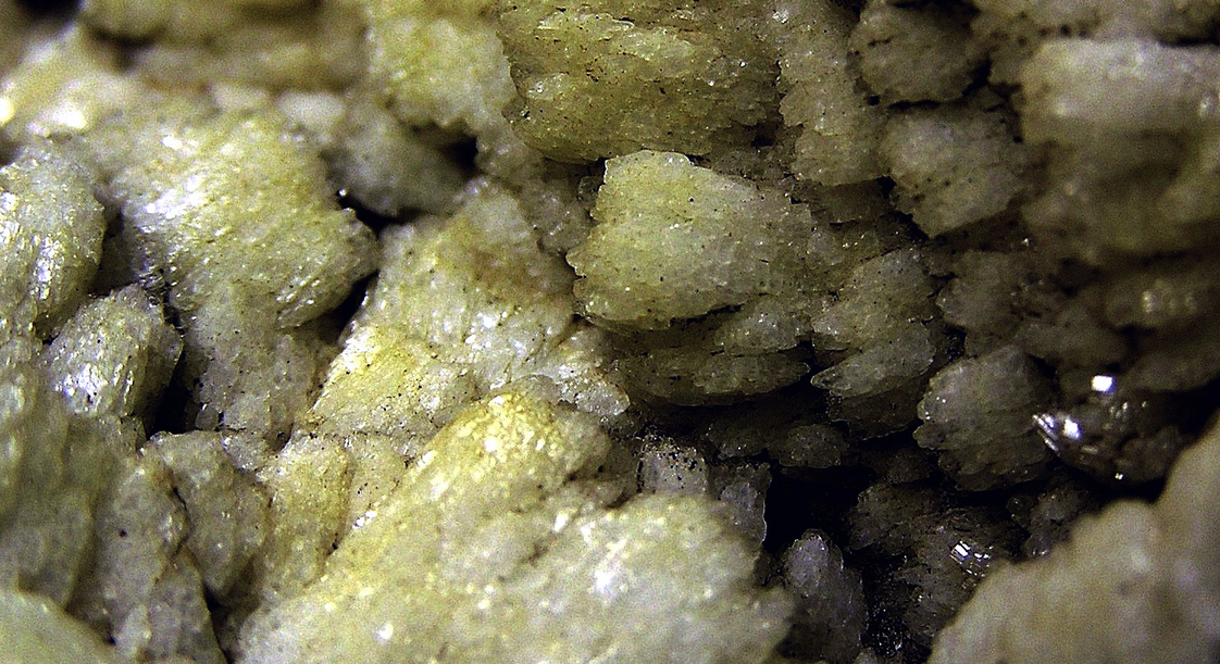
| Species: | Albite |
| Formula: | Na(AlSi3O8) |
| Confirmation |
|---|
|
| Validity: | Believed Valid |
| Associated Minerals Based on Photo Data: |
|---|
|
| Microcline | ⓘ2 photos of Albite associated with Microcline at this locality. |
| Heliodor | ⓘ1 photo of Albite associated with Heliodor at this locality. |
| Data |
|---|
|
| Mineral Data: | Click here to view Albite data |
| Locality Data: | Click here to view William Willes #1 Quarry, Topsham, Sagadahoc County, Maine, USA |
| Data Identifiers |
|---|
|
| Mindat Occurrence Record ID: | 854916 |
| Long-form Identifier: | 1:3:854916:7 |
| GUID (UUID V4): | 9b327f2c-f2da-4cb6-b621-7bbb0c5e89bc |
| Nearest other occurrences of Albite |
|---|
|
|
| 0.1km (0.1 miles) | ⓘSquare Pit (Consolidated #4 Quarry), Topsham, Sagadahoc County, Maine, USA |
| 0.4km (0.3 miles) | ⓘStaples Quarry, Topsham, Sagadahoc County, Maine, USA |
| 0.7km (0.4 miles) | ⓘFisher Quarry, Topsham, Sagadahoc County, Maine, USA |
| 1.1km (0.7 miles) | ⓘTrenton Quarry, Topsham, Sagadahoc County, Maine, USA |
| 1.8km (1.1 miles) | ⓘSwamp No. 1 Quarry, Topsham, Sagadahoc County, Maine, USA |
| 1.8km (1.1 miles) | ⓘSwamp #2 quarry, Topsham, Sagadahoc County, Maine, USA |
| 2.0km (1.2 miles) | ⓘWilliam Willes #3 Quarry, Topsham, Sagadahoc County, Maine, USA |
| 2.0km (1.2 miles) | ⓘHavey #1 & #2 Quarries, Topsham, Sagadahoc County, Maine, USA |
| 2.1km (1.3 miles) | ⓘConsolidated #2 Quarry (Purington Quarry), Topsham, Sagadahoc County, Maine, USA |
| 2.1km (1.3 miles) | ⓘConsolidated #1 Quarry, Topsham, Sagadahoc County, Maine, USA |
| References |
|---|
|
|
| Reference Search (possible matching items) |
|---|
 | | Book (volume) | | Volume 1: Descriptive Mineralogy by Vandall T. King and Eugene E. Foord Maine Geological Survey DEPARTMENT...CONSERVATION Walter A. Anderson, State Geologist 1 Volume 1: Descriptive Mineralogy Vandall T. King Rochester...Resources Information, Maine Geological Survey Walter A. Anderson, State Geologist Maine Geological Survey...DEPARTMENT OF CONSERVATION 1994 Copyright ©1994 by the Maine Geological Survey, Department of Conservation. All...Cover photograph: Fluorapatite, Pulsifer quarry, Auburn, Maine (2.2 cm specimen), Harvard Mineralogical |  | | Book (volume) | | 0 n101ercai o of Maine j f·~ ....__ :,,. . - .._"' ..;. .. ~ L-- -~ \. • .J_..::.; I Volume...History, Gems, and Geology edited by Vandall T. King Maine Geological Survey DEPARTMENT OF CONSERVATION Robert...Robert G. Marvinney, State Geologist of Maine Volume 2: Mining History, Gems, and Geology Edited by...Resources Information, Maine Geologi,cal Survey Robert G Marvinney, State Geologist Maine Geological Survey...DEPARTMENT OF CONSERVATION 2000 Copyright ©2000 by the Maine Geological Survey, Department of Conservation. All |
|


William Willes #1 Quarry, Topsham, Sagadahoc County, Maine, USA