| Classification |
|---|
|
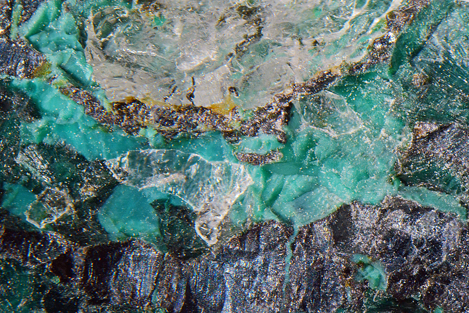
| Species: | Malachite |
| Formula: | Cu2(CO3)(OH)2 |
| Confirmation |
|---|
|
| Validity: | Confirmed |
| Confirmation Methods: | Visually Identified |
| Associated Minerals Based on Photo Data: |
|---|
|
| Cyanotrichite Group | 1 photo of Malachite associated with Cyanotrichite Group at this locality. |
| Data |
|---|
|
| Mineral Data: | Click here to view Malachite data |
| Locality Data: | Click here to view Erfurt way, Grieswies-Schafkar, Grieswies - Krumlkeeskopf area, Rauris, Zell am See District, Salzburg, Austria |
| Data Identifiers |
|---|
|
| Mindat Occurrence Record ID: | 892044 |
| Long-form Identifier: | 1:3:892044:7 |
| GUID (UUID V4): | 85adf91a-2de1-4212-b4aa-0da0682df84a |
| Nearest other occurrences of Malachite |
|---|
|
|
| 1.1km (0.7 miles) | ⓘGold mine (Goldzeche), Zirmsee area, Heiligenblut am Großglockner, Spittal an der Drau District, Carinthia, Austria |
| 1.2km (0.7 miles) | ⓘGoldzechkopf, Alteck - Hoher Sonnblick area, Rauris, Zell am See District, Salzburg, Austria |
| 1.6km (1.0 miles) | ⓘÖxling Mine (Öchsling Mine), Zirmsee area, Heiligenblut am Großglockner, Spittal an der Drau District, Carinthia, Austria |
| 1.6km (1.0 miles) | ⓘNorth face, Hoher Sonnblick, Alteck - Hoher Sonnblick area, Rauris, Zell am See District, Salzburg, Austria |
| 1.8km (1.1 miles) | ⓘKälbergrat, Große Fleiß valley, Heiligenblut am Großglockner, Spittal an der Drau District, Carinthia, Austria |
| 1.8km (1.1 miles) | ⓘKleinfleiß glacier, Heiligenblut am Großglockner, Spittal an der Drau District, Carinthia, Austria |
| 2.2km (1.4 miles) | ⓘLeidenfrost, Hoher Sonnblick, Alteck - Hoher Sonnblick area, Rauris, Zell am See District, Salzburg, Austria |
| 2.3km (1.4 miles) | ⓘGamskarlgraben, Grieswies, Grieswies - Krumlkeeskopf area, Rauris, Zell am See District, Salzburg, Austria |
| 3.0km (1.8 miles) | ⓘRoter Mann, Heiligenblut am Großglockner, Spittal an der Drau District, Carinthia, Austria |
| 3.1km (1.9 miles) | ⓘAugustin adit, Rauriser Goldberg, Kolm-Saigurn, Alteck - Hoher Sonnblick area, Rauris, Zell am See District, Salzburg, Austria |
| References |
|---|
|
|


Erfurt way, Grieswies-Schafkar, Grieswies - Krumlkeeskopf area, Rauris, Zell am See District, Salzburg, Austria