| Classification |
|---|
|
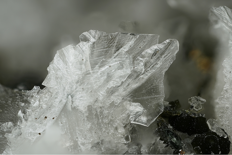
| Species: | Calcite |
| Formula: | CaCO3 |
| Confirmation |
|---|
|
| Validity: | Confirmed |
| Confirmation Methods: | Dealer/Collection Label |
| Associated Minerals Based on Photo Data: |
|---|
|
| Rutile | ⓘ4 photos of Calcite associated with Rutile at this locality. |
| Pyrrhotite | 1 photo of Calcite associated with Pyrrhotite at this locality. |
| Data |
|---|
|
| Mineral Data: | Click here to view Calcite data |
| Locality Data: | Click here to view Sticklerhütte, Muhr, Tamsweg District, Salzburg, Austria |
| Photo Gallery | View Gallery (2 photos) |
| Data Identifiers |
|---|
|
| Mindat Occurrence Record ID: | 892419 |
| Long-form Identifier: | 1:3:892419:3 |
| GUID (UUID V4): | 1a263230-e2c4-4c65-90e8-35342246e603 |
| Nearest other occurrences of Calcite |
|---|
|
|
| 1.9km (1.2 miles) | ⓘKnappenloch, Weißeck area (incl. Rauchkopf; Riedingscharte), Muhr, Tamsweg District, Salzburg, Austria |
| 2.0km (1.2 miles) | ⓘSummit Cleft, Weißeck area (incl. Rauchkopf; Riedingscharte), Muhr, Tamsweg District, Salzburg, Austria |
| 2.0km (1.2 miles) | ⓘWeißeck area (incl. Rauchkopf; Riedingscharte), Muhr, Tamsweg District, Salzburg, Austria |
| 2.1km (1.3 miles) | ⓘRosskar marble outcrops, Frauennock, Mur source, Muhr, Tamsweg District, Salzburg, Austria |
| 2.5km (1.6 miles) | ⓘSprinzgasse Mine, Rotschopf Alp, Muhr, Tamsweg District, Salzburg, Austria |
| 5.3km (3.3 miles) | ⓘKree Alp, Hüttschlag, St. Johann im Pongau District, Salzburg, Austria |
| 5.7km (3.5 miles) | ⓘArsenic mine, Lower Rotgülden lake, Rotgülden, Muhr, Tamsweg District, Salzburg, Austria |
| 7.6km (4.7 miles) | ⓘKölnbreinkar, Kölnbreinspitze - Lausnock area, Malta, Spittal an der Drau District, Carinthia, Austria |
| 8.3km (5.2 miles) | ⓘSilbereck - Altenbergkar area, Rotgülden, Muhr, Tamsweg District, Salzburg, Austria |
| 8.9km (5.6 miles) | ⓘKarteis, Hüttschlag, St. Johann im Pongau District, Salzburg, Austria |
| References |
|---|
|
|


Sticklerhütte, Muhr, Tamsweg District, Salzburg, Austria