| Locality | Latitude | Longitude | Distance | Bearing |
|---|
| Perry Chrysoprase Mine, Plomosa Mining District, Plomosa Mountains, La Paz County, Arizona, USA | 33° 43' 54" N | 114° 8' 15" W | 0.0km (0.0 miles) | |
| Grace 1 and 2 claims, Plomosa Mining District, Plomosa Mountains, La Paz County, Arizona, USA | 33° 40' 27" N | 114° 10' 0" W | 6.9km (4.3 miles) | |
| Climax Mine, Ibex Peak, Plomosa Mining District, Plomosa Mountains, La Paz County, Arizona, USA | 33° 46' 5" N | 114° 3' 15" W | 8.7km (5.4 miles) | |
| Plomosa Mountains, La Paz County, Arizona, USA | 33° 42' 0" N | 114° 3' 2" W | 8.8km (5.4 miles) | |
| Ray Gator prospect, Plomosa Mining District, Plomosa Mountains, La Paz County, Arizona, USA | 33° 39' 51" N | 114° 4' 54" W | 9.1km (5.6 miles) | |
| Keiser Barite Mine (Keiser deposit; Sierra Blanca Mine), Ibex Peak, Plomosa Mining District, Plomosa Mountains, La Paz County, Arizona, USA | 33° 46' 32" N | 114° 3' 6" W | 9.3km (5.8 miles) | |
| New York-Plomosa prospect, Plomosa Mining District, Plomosa Mountains, La Paz County, Arizona, USA | 33° 38' 21" N | 114° 7' 50" W | 10.3km (6.4 miles) | |
| Phoenix and Yuma Mine groups, Plomosa Mining District, Plomosa Mountains, La Paz County, Arizona, USA | 33° 48' 20" N | 114° 4' 11" W | 10.3km (6.4 miles) | |
| Aruzon claims, Plomosa Mining District, Plomosa Mountains, La Paz County, Arizona, USA | 33° 39' 32" N | 114° 4' 0" W | 10.4km (6.5 miles) | |
| Gold Nugget Mine (Guadalupe Mine; Moreno Mine), Plomosa Pass, Plomosa Mining District, Plomosa Mountains, La Paz County, Arizona, USA | 33° 39' 37" N | 114° 3' 47" W | 10.5km (6.5 miles) | |
| Ibex Peak, Plomosa Mining District, Plomosa Mountains, La Paz County, Arizona, USA | 33° 46' 9" N | 114° 1' 58" W | 10.5km (6.6 miles) | |
| Bright Star Mine (Firestone group), Plomosa Mining District, Plomosa Mountains, La Paz County, Arizona, USA | 33° 38' 30" N | 114° 5' 53" W | 10.6km (6.6 miles) | |
| Townsend Marble claims, Plomosa Mining District, Plomosa Mountains, La Paz County, Arizona, USA | 33° 47' 48" N | 114° 3' 10" W | 10.7km (6.6 miles) | |
| Southern Cross Mine (Lucky Lead Mine; Lead Camp Mine; Lead King), Ibex Peak, Plomosa Mining District, Plomosa Mountains, La Paz County, Arizona, USA | 33° 46' 41" N | 114° 2' 8" W | 10.7km (6.7 miles) | |
| Muderbach Mine (Mudersbach Mine; Mudersback Mine; Mudersbach Camp; Mudersbach Copper Camp; Mudersbach Gypsum Mine; Tuck Mine; Excelsior Mine), Ibex Peak, Plomosa Mining District, Plomosa Mountains, La Paz County, Arizona, USA | 33° 48' 17" N | 114° 3' 38" W | 10.8km (6.7 miles) | |
| Plomosa Pass, La Paz County, Arizona, USA | 33° 40' 18" N | 114° 2' 42" W | 10.8km (6.7 miles) | |
| Belle of Arizona Mine, Plomosa Pass, La Paz County, Arizona, USA | 33° 38' 43" N | 114° 4' 54" W | 10.9km (6.8 miles) | |
| Bell of Arizona Mine, Plomosa Mining District, Plomosa Mountains, La Paz County, Arizona, USA | 33° 38' 39" N | 114° 4' 56" W | 11.0km (6.8 miles) | |
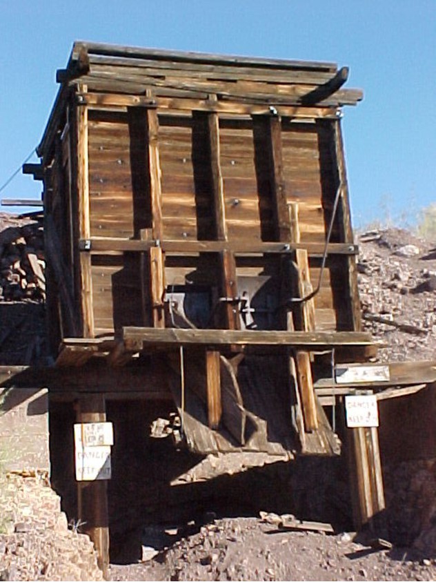
| Plomosa Mining District, Plomosa Mountains, La Paz County, Arizona, USA | 33° 45' 0" N | 114° 1' 11" W | 11.1km (6.9 miles) | |
| Quartzsite, La Paz County, Arizona, USA | 33° 39' 50" N | 114° 13' 45" W | 11.3km (7.0 miles) | |
| Plomosa placers (Plomosa Placer deposits; Jack Pot; Saxe; Chrystal Butte; Aplington), Plomosa Placer Mining District, La Posa plain, La Paz County, Arizona, USA | 33° 37' 45" N | 114° 7' 5" W | 11.5km (7.2 miles) | |
| Black Beauty Mine (Perry Mine), Plomosa Mining District, Plomosa Mountains, La Paz County, Arizona, USA | 33° 44' 3" N | 114° 0' 45" W | 11.6km (7.2 miles) | |
| Iron Queen & Copper Prince Mine groups, Plomosa Mining District, Plomosa Mountains, La Paz County, Arizona, USA | 33° 37' 50" N | 114° 6' 15" W | 11.7km (7.2 miles) | |
| Spot placer, Plomosa Mining District, Plomosa Mountains, La Paz County, Arizona, USA | 33° 37' 50" N | 114° 6' 15" W | 11.7km (7.2 miles) | |
| Black Crust Mine (Rincanada Mine), Plomosa Mining District, Plomosa Mountains, La Paz County, Arizona, USA | 33° 49' 9" N | 114° 4' 4" W | 11.7km (7.3 miles) | |
| Black Mule Hematite prospect, Plomosa Mining District, Plomosa Mountains, La Paz County, Arizona, USA | 33° 49' 17" N | 114° 4' 18" W | 11.7km (7.3 miles) | |
| Jewel Mine, Ibex Peak, Plomosa Mining District, Plomosa Mountains, La Paz County, Arizona, USA | 33° 46' 54" N | 114° 1' 28" W | 11.8km (7.3 miles) | |
| Saunders placers, Plomosa Mining District, Plomosa Mountains, La Paz County, Arizona, USA | 33° 37' 32" N | 114° 7' 18" W | 11.9km (7.4 miles) | |
| Desert Queen Mine, Plomosa Mining District, Plomosa Mountains, La Paz County, Arizona, USA | 33° 37' 26" N | 114° 6' 29" W | 12.3km (7.6 miles) | |
| Burro Barite claims Nos. 1-5, Plomosa Mining District, Plomosa Mountains, La Paz County, Arizona, USA | 33° 49' 31" N | 114° 4' 0" W | 12.3km (7.6 miles) | |


Ramsey Mine, Plomosa Mining District, Plomosa Mountains, La Paz County, Arizona, USA