| Locality | Latitude | Longitude | Distance | Bearing |
|---|
| Hayseed Mine, Whitlock (Farmer's Hope; Whitlock Creek; Whitlock Gulch), Whitlock Mining District, Bagby-Mariposa-Mount Bullion-Whitlock Mining District, Mariposa County, California, USA | 37° 32' 36" N | 120° 0' 29" W | 0.0km (0.0 miles) | |
| Princess Mine, Whitlock (Farmer's Hope; Whitlock Creek; Whitlock Gulch), Whitlock Mining District, Bagby-Mariposa-Mount Bullion-Whitlock Mining District, Mariposa County, California, USA | 37° 32' 34" N | 120° 0' 26" W | 0.1km (0.1 miles) | |
| Gypsy Mine (North Star and Oro Grande Mine; Oro Grande claim), Whitlock (Farmer's Hope; Whitlock Creek; Whitlock Gulch), Whitlock Mining District, Bagby-Mariposa-Mount Bullion-Whitlock Mining District, Mariposa County, California, USA | 37° 32' 36" N | 120° 0' 20" W | 0.2km (0.1 miles) | |
| North Whitlock Mine, Whitlock (Farmer's Hope; Whitlock Creek; Whitlock Gulch), Whitlock Mining District, Bagby-Mariposa-Mount Bullion-Whitlock Mining District, Mariposa County, California, USA | 37° 32' 21" N | 120° 0' 28" W | 0.5km (0.3 miles) | |
| Sultana group (Sultana Extension; Royal Group Bald Eagle; Sultan), Whitlock (Farmer's Hope; Whitlock Creek; Whitlock Gulch), Whitlock Mining District, Bagby-Mariposa-Mount Bullion-Whitlock Mining District, Mariposa County, California, USA | 37° 32' 58" N | 120° 0' 38" W | 0.7km (0.4 miles) | |
| Ah Wai Drift Mine, Mount Bullion, Bagby-Mariposa-Mount Bullion-Whitlock Mining District, Mariposa County, California, USA | 37° 32' 58" N | 120° 0' 46" W | 0.8km (0.5 miles) | |
| Emma II Mine (Emma 1 claim; Emma 2 claim), Whitlock (Farmer's Hope; Whitlock Creek; Whitlock Gulch), Whitlock Mining District, Bagby-Mariposa-Mount Bullion-Whitlock Mining District, Mariposa County, California, USA | 37° 33' 2" N | 120° 0' 24" W | 0.8km (0.5 miles) | |
| Golden Key group (Austin group; Coronado No. 2 claim; Dusenberry claim; Golden Gate claim; Hayseed claim; Haywire Fraction claim; Regan claim), Whitlock (Farmer's Hope; Whitlock Creek; Whitlock Gulch), Whitlock Mining District, Bagby-Mariposa-Mount Bullion-Whitlock Mining District, Mariposa County, California, USA | 37° 33' 1" N | 120° 0' 43" W | 0.8km (0.5 miles) | |
| Whitlock Mine (Whitlock group; Consolidated Whitlock and Alabama; Westward claim; Alabama claim; Whitlock claim), Whitlock (Farmer's Hope; Whitlock Creek; Whitlock Gulch), Whitlock Mining District, Bagby-Mariposa-Mount Bullion-Whitlock Mining District, Mariposa County, California, USA | 37° 32' 15" N | 120° 0' 10" W | 0.8km (0.5 miles) | |
| Garden Weston placer, Whitlock (Farmer's Hope; Whitlock Creek; Whitlock Gulch), Whitlock Mining District, Bagby-Mariposa-Mount Bullion-Whitlock Mining District, Mariposa County, California, USA | 37° 32' 42" N | 119° 59' 54" W | 0.9km (0.5 miles) | |
| Our Chance Mine (Clark Mines; Albert Austin group), Whitlock (Farmer's Hope; Whitlock Creek; Whitlock Gulch), Whitlock Mining District, Bagby-Mariposa-Mount Bullion-Whitlock Mining District, Mariposa County, California, USA | 37° 32' 59" N | 120° 0' 6" W | 0.9km (0.6 miles) | |
| Spread Eagle group (Empire claim; Farmers Hope; Fanny; Mineral Hope; Little Charlie; Mohawk; Tollgate; Monarch; Bonanza II; Miners Hope), Whitlock (Farmer's Hope; Whitlock Creek; Whitlock Gulch), Whitlock Mining District, Bagby-Mariposa-Mount Bullion-Whitlock Mining District, Mariposa County, California, USA | 37° 33' 1" N | 120° 0' 54" W | 0.9km (0.6 miles) | |
| Milburn Mine, Whitlock (Farmer's Hope; Whitlock Creek; Whitlock Gulch), Whitlock Mining District, Bagby-Mariposa-Mount Bullion-Whitlock Mining District, Mariposa County, California, USA | 37° 32' 48" N | 120° 1' 9" W | 1.0km (0.6 miles) | |
| Permit Mine (Bulldog Mine; Bullpup Mine; Boulder Mine; Kockel Mine), Whitlock (Farmer's Hope; Whitlock Creek; Whitlock Gulch), Whitlock Mining District, Bagby-Mariposa-Mount Bullion-Whitlock Mining District, Mariposa County, California, USA | 37° 32' 48" N | 120° 1' 10" W | 1.1km (0.7 miles) | |
| Mohawk Mine (North Witlock Extension Mine), Whitlock (Farmer's Hope; Whitlock Creek; Whitlock Gulch), Whitlock Mining District, Bagby-Mariposa-Mount Bullion-Whitlock Mining District, Mariposa County, California, USA | 37° 32' 31" N | 120° 1' 23" W | 1.3km (0.8 miles) | |
| Triumph Mine, Whitlock (Farmer's Hope; Whitlock Creek; Whitlock Gulch), Whitlock Mining District, Bagby-Mariposa-Mount Bullion-Whitlock Mining District, Mariposa County, California, USA | 37° 33' 19" N | 120° 0' 16" W | 1.3km (0.8 miles) | |
| Mountain Queen Mine (Mount Queen Mine), Whitlock (Farmer's Hope; Whitlock Creek; Whitlock Gulch), Whitlock Mining District, Bagby-Mariposa-Mount Bullion-Whitlock Mining District, Mariposa County, California, USA | 37° 33' 15" N | 120° 0' 6" W | 1.3km (0.8 miles) | |
| Cohen Quartz Mine, Whitlock (Farmer's Hope; Whitlock Creek; Whitlock Gulch), Whitlock Mining District, Bagby-Mariposa-Mount Bullion-Whitlock Mining District, Mariposa County, California, USA | 37° 32' 54" N | 119° 59' 38" W | 1.4km (0.9 miles) | |
| Gordon Mine (Weston Mine), Whitlock (Farmer's Hope; Whitlock Creek; Whitlock Gulch), Whitlock Mining District, Bagby-Mariposa-Mount Bullion-Whitlock Mining District, Mariposa County, California, USA | 37° 32' 59" N | 119° 59' 39" W | 1.4km (0.9 miles) | |
| Spencer Mine, Whitlock (Farmer's Hope; Whitlock Creek; Whitlock Gulch), Whitlock Mining District, Bagby-Mariposa-Mount Bullion-Whitlock Mining District, Mariposa County, California, USA | 37° 33' 21" N | 120° 0' 47" W | 1.5km (0.9 miles) | |
| Big Bill Mine, Whitlock (Farmer's Hope; Whitlock Creek; Whitlock Gulch), Whitlock Mining District, Bagby-Mariposa-Mount Bullion-Whitlock Mining District, Mariposa County, California, USA | 37° 32' 59" N | 120° 1' 28" W | 1.6km (1.0 miles) | |
| Geary Mine (Geare Mine), Whitlock (Farmer's Hope; Whitlock Creek; Whitlock Gulch), Whitlock Mining District, Bagby-Mariposa-Mount Bullion-Whitlock Mining District, Mariposa County, California, USA | 37° 33' 15" N | 120° 1' 14" W | 1.6km (1.0 miles) | |
| Diltz Mine (Diltz claim; W.Y.O.D. claim; Diltz and Mann), Whitlock (Farmer's Hope; Whitlock Creek; Whitlock Gulch), Whitlock Mining District, Bagby-Mariposa-Mount Bullion-Whitlock Mining District, Mariposa County, California, USA | 37° 33' 30" N | 120° 0' 20" W | 1.7km (1.0 miles) | |
| Standard Mine, Whitlock (Farmer's Hope; Whitlock Creek; Whitlock Gulch), Whitlock Mining District, Bagby-Mariposa-Mount Bullion-Whitlock Mining District, Mariposa County, California, USA | 37° 32' 35" N | 119° 59' 21" W | 1.7km (1.1 miles) | |
| Mary Bess Mine (Avarite), Whitlock (Farmer's Hope; Whitlock Creek; Whitlock Gulch), Whitlock Mining District, Bagby-Mariposa-Mount Bullion-Whitlock Mining District, Mariposa County, California, USA | 37° 33' 32" N | 120° 0' 26" W | 1.7km (1.1 miles) | |
| Herman Quartz Mine, Whitlock (Farmer's Hope; Whitlock Creek; Whitlock Gulch), Whitlock Mining District, Bagby-Mariposa-Mount Bullion-Whitlock Mining District, Mariposa County, California, USA | 37° 33' 32" N | 120° 0' 20" W | 1.7km (1.1 miles) | |
| Whitlock (Farmer's Hope; Whitlock Creek; Whitlock Gulch), Whitlock Mining District, Bagby-Mariposa-Mount Bullion-Whitlock Mining District, Mariposa County, California, USA | 37° 33' 24" N | 120° 1' 9" W | 1.8km (1.1 miles) | |
| French Camp Mine, Mount Bullion, Bagby-Mariposa-Mount Bullion-Whitlock Mining District, Mariposa County, California, USA | 37° 31' 36" N | 120° 0' 24" W | 1.9km (1.2 miles) | |
| Ohio River and Johnnie F. placer, Whitlock (Farmer's Hope; Whitlock Creek; Whitlock Gulch), Whitlock Mining District, Bagby-Mariposa-Mount Bullion-Whitlock Mining District, Mariposa County, California, USA | 37° 33' 33" N | 120° 1' 1" W | 1.9km (1.2 miles) | |
| Oak Springs Mine, Mount Bullion, Bagby-Mariposa-Mount Bullion-Whitlock Mining District, Mariposa County, California, USA | 37° 31' 40" N | 120° 1' 2" W | 1.9km (1.2 miles) | |

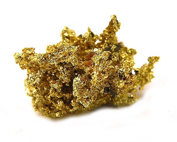
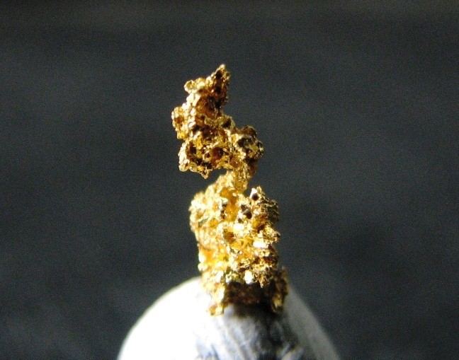
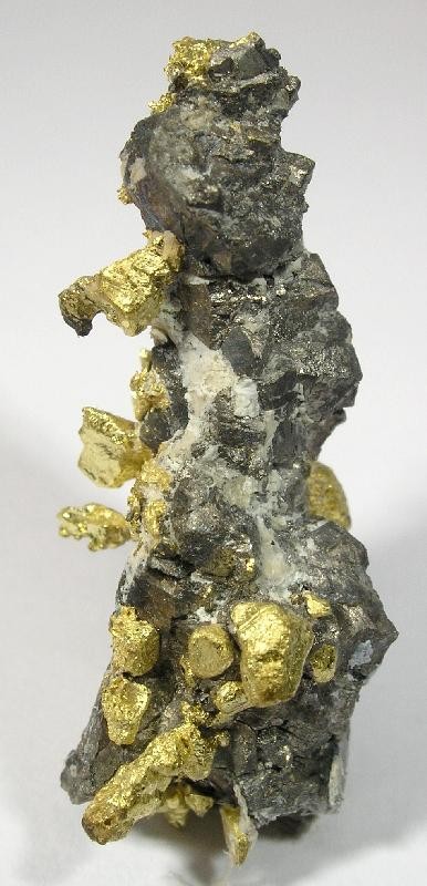


Triumph Mine, Whitlock, Whitlock Mining District, Bagby-Mariposa-Mount Bullion-Whitlock Mining District, Mariposa County, California, USA