| Locality | Latitude | Longitude | Distance | Bearing |
|---|
| Crook Ore Bank, Anne Arundel County, Maryland, USA | 39° 12' 23" N | 76° 42' 2" W | 0.0km (0.0 miles) | |
| Randel Ore Bank, Anne Arundel County, Maryland, USA | 39° 12' 33" N | 76° 42' 10" W | 0.4km (0.2 miles) | |
| German Ore Bank, Anne Arundel County, Maryland, USA | 39° 12' 6" N | 76° 42' 21" W | 0.7km (0.4 miles) | |
| Hollins Ore Bank, Anne Arundel County, Maryland, USA | 39° 11' 54" N | 76° 41' 55" W | 0.9km (0.6 miles) | |
| Plumbmer ore banks, Anne Arundel County, Maryland, USA | 39° 11' 44" N | 76° 42' 17" W | 1.3km (0.8 miles) | |
| Brooks Ore Bank, Hanover, Howard County, Maryland, USA | 39° 11' 55" N | 76° 43' 6" W | 1.7km (1.1 miles) | |
| Smith Ore Bank, Anne Arundel County, Maryland, USA | 39° 11' 20" N | 76° 41' 45" W | 2.0km (1.2 miles) | |
| Soper Hall Ore Bank, Anne Arundel County, Maryland, USA | 39° 13' 5" N | 76° 40' 54" W | 2.1km (1.3 miles) | |
| Haslup Ore Bank, Howard County, Maryland, USA | 39° 12' 37" N | 76° 43' 45" W | 2.5km (1.6 miles) | |
| Talbott Ore Bank, Howard County, Maryland, USA | 39° 12' 19" N | 76° 43' 50" W | 2.6km (1.6 miles) | |
| Ruth Ore Bank, Anne Arundel County, Maryland, USA | 39° 13' 11" N | 76° 40' 30" W | 2.7km (1.7 miles) | |
| Coursey Ore Bank, Baltimore County, Maryland, USA | 39° 13' 50" N | 76° 41' 45" W | 2.7km (1.7 miles) | |
| Benson ore banks, Anne Arundel County, Maryland, USA | 39° 13' 17" N | 76° 40' 30" W | 2.8km (1.7 miles) | |
| Garey Ore Bank, Anne Arundel County, Maryland, USA | 39° 13' 15" N | 76° 40' 22" W | 2.9km (1.8 miles) | |
| Kraft Ore Banks, Baltimore County, Maryland, USA | 39° 13' 54" N | 76° 41' 3" W | 3.2km (2.0 miles) | |
| Brown Ore Banks, Howard County, Maryland, USA | 39° 10' 59" N | 76° 43' 23" W | 3.2km (2.0 miles) | |
| Ring Ore Bank, Baltimore County, Maryland, USA | 39° 14' 8" N | 76° 41' 53" W | 3.3km (2.0 miles) | |
| Hanover, Anne Arundel County, Maryland, USA | 39° 10' 52" N | 76° 43' 15" W | 3.3km (2.0 miles) | |
| Randle Ore Bank, Baltimore County, Maryland, USA | 39° 14' 7" N | 76° 42' 42" W | 3.4km (2.1 miles) | |
| Timber Neck Ore Banks, Anne Arundel County, Maryland, USA | 39° 10' 47" N | 76° 43' 10" W | 3.4km (2.1 miles) | |
| Lafey Ore Bank, Anne Arundel County, Maryland, USA | 39° 10' 54" N | 76° 43' 33" W | 3.5km (2.2 miles) | |
| Hobbs Ore Bank, Howard County, Maryland, USA | 39° 11' 0" N | 76° 43' 50" W | 3.6km (2.2 miles) | |
| Miller Ore Banks, Baltimore County, Maryland, USA | 39° 14' 21" N | 76° 41' 49" W | 3.7km (2.3 miles) | |
| Stapleton Ore Banks, Baltimore County, Maryland, USA | 39° 14' 22" N | 76° 42' 45" W | 3.8km (2.4 miles) | |
| Mineral Ridge Property, Anne Arundel County, Maryland, USA | 39° 11' 8" N | 76° 44' 27" W | 4.2km (2.6 miles) | |
| Virginia Ore Banks, Baltimore County, Maryland, USA | 39° 14' 17" N | 76° 40' 3" W | 4.6km (2.8 miles) | |
| Anderson Ore Bank, Anne Arundel County, Maryland, USA | 39° 10' 27" N | 76° 44' 4" W | 4.6km (2.9 miles) | |
| Northeast Halethorpe Ore Banks, Baltimore County, Maryland, USA | 39° 14' 40" N | 76° 40' 35" W | 4.8km (3.0 miles) | |
| Dorsey Ore Banks, Anne Arundel County, Maryland, USA | 39° 10' 32" N | 76° 44' 35" W | 5.0km (3.1 miles) | |
| Southeast Landsdowne Ore Banks, Baltimore County, Maryland, USA | 39° 14' 21" N | 76° 39' 30" W | 5.1km (3.2 miles) | |
Minerals recorded nearby (within 5.1 km)
Rock types recorded nearby (within 5.1 km)
Entries shown in red are rocks recorded for this region.

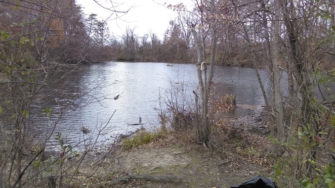


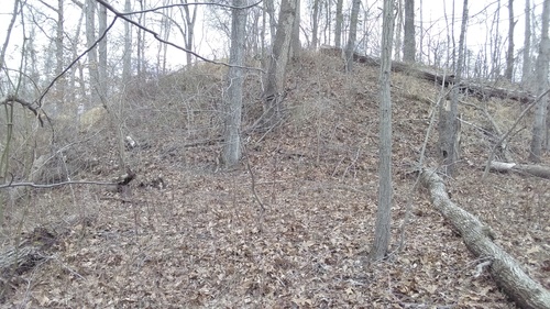


Ruth Ore Bank, Anne Arundel County, Maryland, USA