| Locality | Latitude | Longitude | Distance | Bearing |
|---|
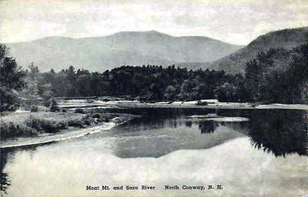
| North Moat Mountain localities, Bartlett, Carroll County, New Hampshire, USA | 44° 2' 35" N | 71° 12' 52" W | 0.0km (0.0 miles) | |
| Middle Moat Mountain locality, Hale's Location, Carroll County, New Hampshire, USA | 44° 1' 50" N | 71° 10' 54" W | 3.0km (1.8 miles) | |
| Hale's Location, Carroll County, New Hampshire, USA | 44° 2' 21" N | 71° 10' 19" W | 3.4km (2.1 miles) | |
| Table Mountain, Bartlett, Carroll County, New Hampshire, USA | 44° 2' 3" N | 71° 15' 46" W | 4.0km (2.5 miles) | |
| Spruce Hill, Albany, Carroll County, New Hampshire, USA | 44° 0' 52" N | 71° 14' 49" W | 4.1km (2.5 miles) | |
| Moose pocket, Blue Mountain, Albany, Carroll County, New Hampshire, USA | 44° 0' 29" N | 71° 15' 20" W | 5.1km (3.1 miles) | |
| White Mountain Granite quarry, Conway, Carroll County, New Hampshire, USA | 44° 1' 58" N | 71° 8' 49" W | 5.5km (3.4 miles) | |
| Government pit, Albany, Carroll County, New Hampshire, USA | 44° 0' 15" N | 71° 9' 42" W | 6.0km (3.8 miles) | |
| Humphreys Ledge quartz crystal locality, Bartlett, Carroll County, New Hampshire, USA | 44° 5' 3" N | 71° 9' 52" W | 6.1km (3.8 miles) | |
| Bartlett, Carroll County, New Hampshire, USA | 44° 4' 40" N | 71° 16' 58" W | 6.7km (4.1 miles) | |
| North Conway, Conway, Carroll County, New Hampshire, USA | 44° 3' 11" N | 71° 7' 41" W | 7.0km (4.4 miles) | |
| Bear Mountain, Albany, Carroll County, New Hampshire, USA | 44° 1' 45" N | 71° 18' 5" W | 7.1km (4.4 miles) | |
| Lovejoy Gravel pits, Conway, Carroll County, New Hampshire, USA | 43° 59' 52" N | 71° 8' 50" W | 7.4km (4.6 miles) | |
| Blue Mountain, Albany, Carroll County, New Hampshire, USA | 43° 58' 38" N | 71° 15' 11" W | 7.9km (4.9 miles) | |
| Bear Notch, Albany, Carroll County, New Hampshire, USA | 44° 2' 30" N | 71° 19' 0" W | 8.2km (5.1 miles) | |
| Iron Mountain Mines, Bartlett, Carroll County, New Hampshire, USA | 44° 7' 30" N | 71° 13' 59" W | 9.2km (5.7 miles) | |
| Redstone "Green Granite" quarry, Redstone, Conway, Carroll County, New Hampshire, USA | 44° 1' 50" N | 71° 5' 53" W | 9.4km (5.8 miles) | |
| Redstone, Conway, Carroll County, New Hampshire, USA | 44° 0' 52" N | 71° 6' 3" W | 9.6km (6.0 miles) | |
| Redstone "Red Granite" quarry, Redstone, Conway, Carroll County, New Hampshire, USA | 44° 1' 15" N | 71° 5' 43" W | 9.9km (6.1 miles) | |
| Peaked Mountain fluorite locality, North Conway, Conway, Carroll County, New Hampshire, USA | 44° 2' 38" N | 71° 5' 26" W | 9.9km (6.2 miles) | |
| Albany, Carroll County, New Hampshire, USA | 43° 57' 28" N | 71° 10' 3" W | 10.2km (6.3 miles) | |
| Middle Mountain, North Conway, Conway, Carroll County, New Hampshire, USA | 44° 2' 10" N | 71° 5' 11" W | 10.3km (6.4 miles) | |
| Iron Mountain, Jackson, Carroll County, New Hampshire, USA | 44° 8' 1" N | 71° 14' 20" W | 10.3km (6.4 miles) | |
| Bartlett Mountain, Bartlett, Carroll County, New Hampshire, USA | 44° 6' 5" N | 71° 6' 47" W | 10.4km (6.5 miles) | |
| Conway, Carroll County, New Hampshire, USA | 43° 58' 42" N | 71° 7' 8" W | 10.5km (6.5 miles) | |
| Hurricane Mountain localities, North Conway, Conway, Carroll County, New Hampshire, USA | 44° 4' 19" N | 71° 4' 24" W | 11.7km (7.3 miles) | |
| Jackson, Carroll County, New Hampshire, USA | 44° 8' 44" N | 71° 10' 50" W | 11.7km (7.3 miles) | |
| Black Cap Mountain, North Conway, Conway, Carroll County, New Hampshire, USA | 44° 3' 20" N | 71° 4' 0" W | 11.9km (7.4 miles) | |
| Hart's Location, Coos County, New Hampshire, USA | 44° 5' 11" N | 71° 21' 6" W | 12.0km (7.4 miles) | |
| Birch Hill, Albany, Carroll County, New Hampshire, USA | 44° 1' 45" N | 71° 21' 53" W | 12.1km (7.5 miles) | |
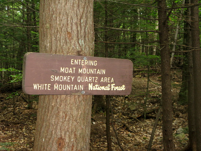


Middle Moat Mountain locality, Hale's Location, Carroll County, New Hampshire, USA