| Locality | Latitude | Longitude | Distance | Bearing |
|---|
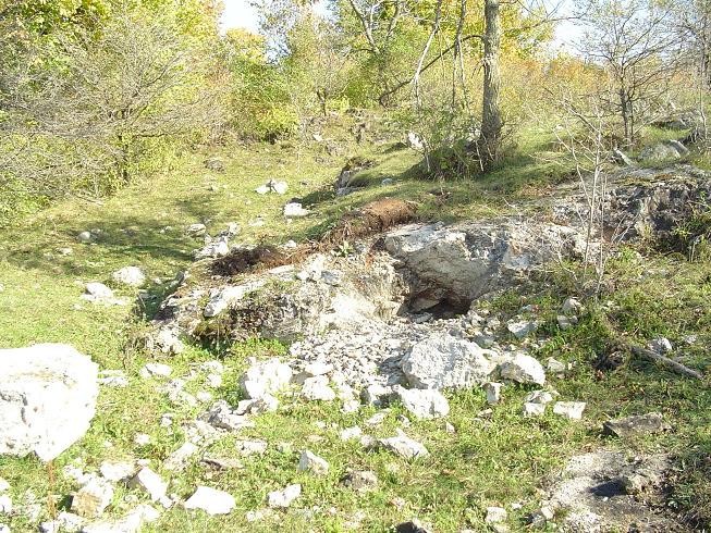
| Road cut, Bigelow, De Kalb Township, St. Lawrence County, New York, USA | 44° 25' 18" N | 75° 21' 47" W | 0.0km (0.0 miles) | |
| Route 11 roadcut, Richville, De Kalb Township, St. Lawrence County, New York, USA | 44° 25' 20" N | 75° 23' 18" W | 2.0km (1.2 miles) | |
| Richville, De Kalb Township, St. Lawrence County, New York, USA | 44° 25' 0" N | 75° 23' 30" W | 2.3km (1.4 miles) | |
| Henricks shaft, Bigelow, De Kalb Township, St. Lawrence County, New York, USA | 44° 24' 0" N | 75° 22' 59" W | 2.9km (1.8 miles) | |
| Calvin Mitchell farm, De Kalb, De Kalb Township, St. Lawrence County, New York, USA | 44° 27' 1" N | 75° 19' 36" W | 4.3km (2.7 miles) | |
| Styles shaft, Bigelow, De Kalb Township, St. Lawrence County, New York, USA | 44° 27' 0" N | 75° 19' 29" W | 4.4km (2.7 miles) | |
| Quartz locality, Brasie Corners, Macomb Township, St. Lawrence County, New York, USA | 44° 23' 40" N | 75° 24' 25" W | 4.6km (2.9 miles) | |
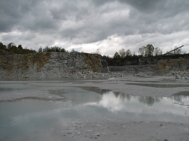
| Routes 19/33 Marble pit, De Kalb, De Kalb Township, St. Lawrence County, New York, USA | 44° 27' 16" N | 75° 18' 27" W | 5.8km (3.6 miles) | |
| Mitchell prospect, Bigelow, De Kalb Township, St. Lawrence County, New York, USA | 44° 28' 0" N | 75° 19' 29" W | 5.9km (3.6 miles) | |
| McLear pegmatite quarry (Green Hill), De Kalb Township, St. Lawrence County, New York, USA | 44° 27' 34" N | 75° 18' 41" W | 5.9km (3.7 miles) | |
| Reese farm, Gouverneur, St. Lawrence County, New York, USA | 44° 23' 44" N | 75° 25' 46" W | 6.0km (3.7 miles) | |
| Alexander Parr farm, Bigelow, De Kalb Township, St. Lawrence County, New York, USA | 44° 28' 0" N | 75° 18' 59" W | 6.2km (3.9 miles) | |
| Andrew Murtey farm, De Kalb, De Kalb Township, St. Lawrence County, New York, USA | 44° 28' 27" N | 75° 19' 42" W | 6.5km (4.0 miles) | |
| Rock Island Road roadcut, Gouverneur, St. Lawrence County, New York, USA | 44° 23' 39" N | 75° 27' 13" W | 7.8km (4.9 miles) | |
| Cream of the Valley Road, Gouverneur, St. Lawrence County, New York, USA | 44° 25' 41" N | 75° 27' 48" W | 8.0km (5.0 miles) | |
| Osborn Lake (McIntyre farm), De Kalb, De Kalb Township, St. Lawrence County, New York, USA | 44° 28' 54" N | 75° 25' 18" W | 8.1km (5.1 miles) | |
| Rowland Farm Pegmatite Quarry, De Kalb, De Kalb Township, St. Lawrence County, New York, USA | 44° 30' 0" N | 75° 20' 30" W | 8.9km (5.5 miles) | |
| Gouverneur Garnet Mine, Gouverneur, St. Lawrence County, New York, USA | 44° 21' 35" N | 75° 26' 22" W | 9.2km (5.7 miles) | |
| Amasa Corbin Mine, Gouverneur, St. Lawrence County, New York, USA | 44° 22' 59" N | 75° 28' 0" W | 9.2km (5.7 miles) | |
| Seavey Road Quarry, Gouverneur, St. Lawrence County, New York, USA | 44° 22' 46" N | 75° 28' 8" W | 9.6km (6.0 miles) | |
| Hall farm, North Gouverneur, St. Lawrence County, New York, USA | 44° 26' 3" N | 75° 29' 3" W | 9.7km (6.0 miles) | |
| Hurlbut farm, Gouverneur, St. Lawrence County, New York, USA | 44° 29' 2" N | 75° 27' 0" W | 9.8km (6.1 miles) | |
| Hall farm, Gouverneur, St. Lawrence County, New York, USA | 44° 25' 59" N | 75° 29' 7" W | 9.8km (6.1 miles) | |
| Chub Lake prospects, Chub Lake, Hailesboro, St. Lawrence County, New York, USA | 44° 19' 55" N | 75° 21' 33" W | 10.0km (6.2 miles) | |
| Lavack mica mine, Macomb, Macomb Township, St. Lawrence County, New York, USA | 44° 24' 34" N | 75° 29' 48" W | 10.7km (6.6 miles) | |
| Downing farm (Hickory Lake), Macomb, Macomb Township, St. Lawrence County, New York, USA | 44° 27' 52" N | 75° 29' 31" W | 11.3km (7.0 miles) | |
| Bowman property, West Hermon, St. Lawrence County, New York, USA | 44° 28' 0" N | 75° 13' 59" W | 11.5km (7.1 miles) | |
| Hermon, St. Lawrence County, New York, USA | 44° 28' 2" N | 75° 13' 50" W | 11.7km (7.3 miles) | |
| Ellis farm, Macomb, Macomb Township, St. Lawrence County, New York, USA | 44° 26' 44" N | 75° 30' 36" W | 12.0km (7.4 miles) | |
| Dodge Mine, Edwards, Balmat-Edwards Zinc Mining District, St. Lawrence County, New York, USA | 44° 21' 30" N | 75° 14' 26" W | 12.0km (7.5 miles) | |


Reese farm, Gouverneur, St. Lawrence County, New York, USA