| Locality | Latitude | Longitude | Distance | Bearing |
|---|
| Taylor Mine, Alberta, Baraga County, Michigan, USA | 46° 39' 48" N | 88° 26' 30" W | 0.0km (0.0 miles) | |
| West testpit, Taylor Mine, Alberta, Baraga County, Michigan, USA | 46° 39' 47" N | 88° 26' 31" W | 0.1km (0.0 miles) | |
| North testpits, Taylor Mine, Alberta, Baraga County, Michigan, USA | 46° 39' 55" N | 88° 26' 35" W | 0.2km (0.1 miles) | |
| Detroit Graphite Company Graphite Quarry, Alberta, Baraga County, Michigan, USA | 46° 39' 2" N | 88° 26' 2" W | 1.6km (1.0 miles) | |
| Northern Graphite Works Quarry, Baraga County, Michigan, USA | 46° 38' 49" N | 88° 26' 44" W | 1.8km (1.1 miles) | |
| Unnamed iron mine, Ford Dam trail, Alberta, Baraga County, Michigan, USA | 46° 38' 27" N | 88° 28' 26" W | 3.5km (2.2 miles) | |
| Hematite, Lower Slate unit, Michigamme formation, Baraga County, Michigan, USA | 46° 41' 48" N | 88° 25' 31" W | 3.9km (2.4 miles) | |
| Unnamed locality, Lower Slate unit, Michigamme formation, Baraga County, Michigan, USA | 46° 38' 30" N | 88° 30' 11" W | 5.2km (3.3 miles) | |
| Sturgeon River Gorge, Lower Slate unit, Michigamme formation, Baraga County, Michigan, USA | 46° 37' 17" N | 88° 28' 45" W | 5.5km (3.4 miles) | |
| BIC deposit (Bovine Igneous Complex), Baraga County, Michigan, USA | 46° 42' 44" N | 88° 20' 43" W | 9.1km (5.7 miles) | |
| Unnamed Silver Prospect (MRDS - 10146753), Baraga County, Michigan, USA | 46° 45' 29" N | 88° 25' 0" W | 10.7km (6.7 miles) | |
| Silver River silver prospect, Baraga County, Michigan, USA | 46° 45' 27" N | 88° 21' 25" W | 12.3km (7.6 miles) | |
| Northeast Branch Slate Quarry, Baraga County, Michigan, USA | 46° 43' 54" N | 88° 18' 33" W | 12.7km (7.9 miles) | |
| Gomanche Creek Slate Quarry, Baraga County, Michigan, USA | 46° 45' 45" N | 88° 21' 7" W | 13.0km (8.0 miles) | |
| Sidnaw Slate Quarry, Baraga County, Michigan, USA | 46° 33' 26" N | 88° 31' 14" W | 13.2km (8.2 miles) | |
| Huron Bay Slate Company, Baraga County, Michigan, USA | 46° 46' 33" N | 88° 14' 45" W | 19.5km (12.1 miles) | |
| Clinton Slate & Iron Company Quarry, Baraga County, Michigan, USA | 46° 46' 19" N | 88° 14' 14" W | 19.7km (12.3 miles) | |
| Slate River, Baraga County, Michigan, USA | 46° 47' 13" N | 88° 14' 47" W | 20.3km (12.6 miles) | |
| Unnamed Copper Prospect (MRDS - 10170444), Marquette County, Michigan, USA | 46° 51' 5" N | 88° 23' 30" W | 21.2km (13.2 miles) | |
| Pelkie, Baraga County, Michigan, USA | 46° 48' 52" N | 88° 38' 9" W | 22.4km (13.9 miles) | |
| Unnamed Copper Prospect (MRDS - 10146327), Marquette County, Michigan, USA | 46° 32' 59" N | 88° 10' 50" W | 23.6km (14.7 miles) | |
| Skanee Area occurrence, Baraga County, Michigan, USA | 46° 49' 59" N | 88° 15' 0" W | 23.9km (14.8 miles) | |
| Titan Mine, Baraga County, Michigan, USA | 46° 32' 34" N | 88° 10' 59" W | 23.9km (14.8 miles) | |
| Beaufort Mine (Northrup), Baraga County, Michigan, USA | 46° 32' 30" N | 88° 10' 44" W | 24.2km (15.1 miles) | |
| Grummett Exploration prospect (Ned Lake), Baraga County, Michigan, USA | 46° 27' 15" N | 88° 20' 8" W | 24.6km (15.3 miles) | |
| Unnamed iron formation, Baraga County, Michigan, USA | 46° 49' 32" N | 88° 13' 15" W | 24.7km (15.3 miles) | |
| Ohio Mines (Imperial Mine; Webster Mine), Imperial Heights, Baraga County, Michigan, USA | 46° 32' 16" N | 88° 10' 15" W | 25.0km (15.5 miles) | |
| Norwood Mine, Baraga County, Michigan, USA | 46° 32' 17" N | 88° 10' 14" W | 25.0km (15.5 miles) | |
| Turunen Brothers limestone quarry, Pelkie, Baraga County, Michigan, USA | 46° 49' 37" N | 88° 40' 9" W | 25.1km (15.6 miles) | |
| Steward Mine (Orleans), Marquette County, Michigan, USA | 46° 32' 9" N | 88° 9' 25" W | 26.0km (16.1 miles) | |

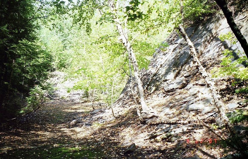

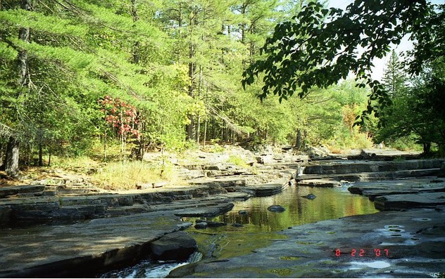
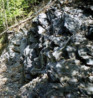


Sturgeon River Gorge, Lower Slate unit, Michigamme formation, Baraga County, Michigan, USA