| Locality | Latitude | Longitude | Distance | Bearing |
|---|
| Bodelva Pit (Carvear China Clay Works), Bodelva, St Blaise, Cornwall, England, UK | 50° 21' 35" N | 4° 44' 39" W | 0.0km (0.0 miles) | |
| Wheal Vounder, Carlyon, Cornwall, England, UK | 50° 21' 35" N | 4° 45' 0" W | 0.4km (0.2 miles) | |
| Bodelva, St Blaise, Cornwall, England, UK | 50° 21' 42" N | 4° 44' 11" W | 0.6km (0.4 miles) | |
| Tregrehan Consols Mine (Tregrehan Higher Mine), Carlyon, Cornwall, England, UK | 50° 21' 6" N | 4° 44' 48" W | 0.9km (0.6 miles) | |
| Treffry Consols (Wheal Treffry), Prideaux, Luxulyan (Luxullian), Cornwall, England, UK | 50° 21' 56" N | 4° 44' 1" W | 1.0km (0.6 miles) | |
| Wheal Rashleigh China Clay Works, Bodelva, St Blaise, Cornwall, England, UK | 50° 21' 51" N | 4° 43' 45" W | 1.2km (0.7 miles) | |
| Wheal Par (Pol Pry Mine), Prideaux, Luxulyan (Luxullian), Cornwall, England, UK | 50° 22' 15" N | 4° 44' 12" W | 1.3km (0.8 miles) | |
| Trethurgy, Treverbyn, Cornwall, England, UK | 50° 22' 0" N | 4° 45' 40" W | 1.4km (0.9 miles) | |
| Boscoppa Mine, Carlyon, Cornwall, England, UK | 50° 21' 0" N | 4° 45' 27" W | 1.4km (0.9 miles) | |
| Blue Gate Mine, Carlyon, Cornwall, England, UK | 50° 20' 57" N | 4° 43' 59" W | 1.5km (0.9 miles) | |
| Methrose China Clay Works, Carne Cross, Luxulyan (Luxullian), Cornwall, England, UK | 50° 22' 24" N | 4° 44' 48" W | 1.5km (0.9 miles) | |
| Carn Grey Quarry, Carn Grey, Treverbyn, Cornwall, England, UK | 50° 21' 44" N | 4° 45' 57" W | 1.5km (1.0 miles) | |
| West Par Consols, St Blaise, Cornwall, England, UK | 50° 20' 49" N | 4° 44' 8" W | 1.6km (1.0 miles) | |
| Trethurgy Moor, Trethurgy, Treverbyn, Cornwall, England, UK | 50° 22' 2" N | 4° 45' 47" W | 1.6km (1.0 miles) | |
| Wheal Eliza (Boscundle Mine), Carlyon, Cornwall, England, UK | 50° 20' 44" N | 4° 44' 48" W | 1.6km (1.0 miles) | |
| Carn Grey, Treverbyn, Cornwall, England, UK | 50° 21' 33" N | 4° 46' 5" W | 1.7km (1.0 miles) | |
| Tasman Mine, St Blaise, Cornwall, England, UK | 50° 21' 37" N | 4° 43' 14" W | 1.7km (1.1 miles) | |
| Wheal Ruby, Trethurgy, Treverbyn, Cornwall, England, UK | 50° 22' 8" N | 4° 45' 52" W | 1.7km (1.1 miles) | |
| Carne Cross, Luxulyan (Luxullian), Cornwall, England, UK | 50° 22' 33" N | 4° 44' 38" W | 1.8km (1.1 miles) | |
| Prideaux, Luxulyan (Luxullian), Cornwall, England, UK | 50° 22' 21" N | 4° 43' 42" W | 1.8km (1.1 miles) | |
| St Blazey Consols (South Prideaux Wood Mine), St Blaise, Cornwall, England, UK | 50° 21' 54" N | 4° 43' 10" W | 1.8km (1.1 miles) | |
| Menear, Treverbyn, Cornwall, England, UK | 50° 21' 0" N | 4° 45' 57" W | 1.9km (1.2 miles) | |
| Wheal Menear (Menear Pit; Buckeye Pit), Menear, Treverbyn, Cornwall, England, UK | 50° 21' 8" N | 4° 46' 5" W | 1.9km (1.2 miles) | |
| New Boscundle Mine, Carlyon, Cornwall, England, UK | 50° 20' 34" N | 4° 44' 42" W | 1.9km (1.2 miles) | |
| Tregrehan Mine, St Austell, Cornwall, England, UK | 50° 20' 39" N | 4° 45' 23" W | 1.9km (1.2 miles) | |
| New Pembroke Mine (incl. Old Pembroke Mine; Wheal Edgcumbe), Pembroke Mine, South Par Mine, St Blaise, Cornwall, England, UK | 50° 20' 39" N | 4° 43' 52" W | 2.0km (1.2 miles) | |
| West Wheal Eliza, Charlestown United and Cuddra Consolidated Mines, St Austell, Cornwall, England, UK | 50° 20' 33" N | 4° 45' 17" W | 2.1km (1.3 miles) | |
| Lady Rashleigh Consols, Prideaux, Luxulyan (Luxullian), Cornwall, England, UK | 50° 22' 26" N | 4° 43' 29" W | 2.1km (1.3 miles) | |
| Cuddra Mine, Charlestown United and Cuddra Consolidated Mines, Carlyon, Cornwall, England, UK | 50° 20' 27" N | 4° 45' 2" W | 2.2km (1.3 miles) | |
| Wheal Madeline, St Blaise, Cornwall, England, UK | 50° 21' 10" N | 4° 42' 57" W | 2.2km (1.3 miles) | |


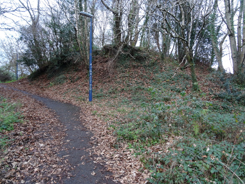

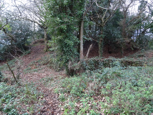


Bodelva Pit, Bodelva, St Blaise, Cornwall, England, UK