| Locality | Latitude | Longitude | Distance | Bearing |
|---|
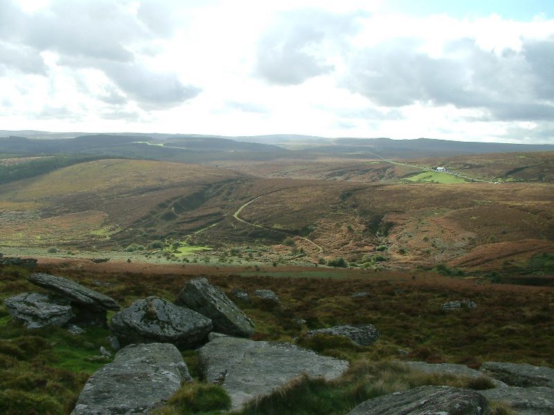
| Great Weeke Consols, Chagford, West Devon, Devon, England, UK | 50° 40' 19" N | 3° 49' 17" W | 0.0km (0.0 miles) | |
| Bradford Pool Mine (Bradmere Pool Mine; Wheal St. Ann), Drewsteignton, West Devon, Devon, England, UK | 50° 42' 11" N | 3° 50' 27" W | 3.7km (2.3 miles) | |
| Blackaller Quarry, Drewsteignton, West Devon, Devon, England, UK | 50° 42' 24" N | 3° 47' 59" W | 4.1km (2.6 miles) | |
| Great Wheal Eleanor, North Bovey, Teignbridge, Devon, England, UK | 50° 38' 5" N | 3° 47' 20" W | 4.7km (2.9 miles) | |
| Batworthy Adit, Gidleigh, West Devon, Devon, England, UK | 50° 39' 56" N | 3° 53' 35" W | 5.1km (3.2 miles) | |
| East Vitifer Mine (Hookney Mine; Kingsbarrow Mine; Great Devon Tincroft), Warren House, North Bovey, Teignbridge, Devon, England, UK | 50° 37' 31" N | 3° 49' 36" W | 5.2km (3.2 miles) | |
| Gooseford, South Tawton, West Devon, Devon, England, UK | 50° 42' 36" N | 3° 52' 31" W | 5.7km (3.5 miles) | |
| West Vitifer Mine, Warren House, North Bovey, Teignbridge, Devon, England, UK | 50° 37' 45" N | 3° 52' 4" W | 5.8km (3.6 miles) | |
| Wheal Wray (Wheal Barton), Moretonhampstead, Teignbridge, Devon, England, UK | 50° 38' 57" N | 3° 44' 19" W | 6.4km (4.0 miles) | |
| Bushdown Mine, Warren House, North Bovey, Teignbridge, Devon, England, UK | 50° 37' 19" N | 3° 51' 58" W | 6.4km (4.0 miles) | |
| Pepperdon, Moretonhampstead, Teignbridge, Devon, England, UK | 50° 39' 4" N | 3° 43' 43" W | 6.9km (4.3 miles) | |
| Headland Mine (East Birch Tor Mine), Warren House, North Bovey, Teignbridge, Devon, England, UK | 50° 36' 41" N | 3° 51' 21" W | 7.2km (4.5 miles) | |
| Birch Tor & Vitifer Mine, Warren House, North Bovey, Teignbridge, Devon, England, UK | 50° 36' 41" N | 3° 51' 21" W | 7.2km (4.5 miles) | |
| Moorwood, Moretonhampstead, Teignbridge, Devon, England, UK | 50° 38' 22" N | 3° 43' 47" W | 7.4km (4.6 miles) | |
| Kings Oven and Water Hill Mine, Warren House, North Bovey, Teignbridge, Devon, England, UK | 50° 36' 42" N | 3° 52' 47" W | 7.9km (4.9 miles) | |
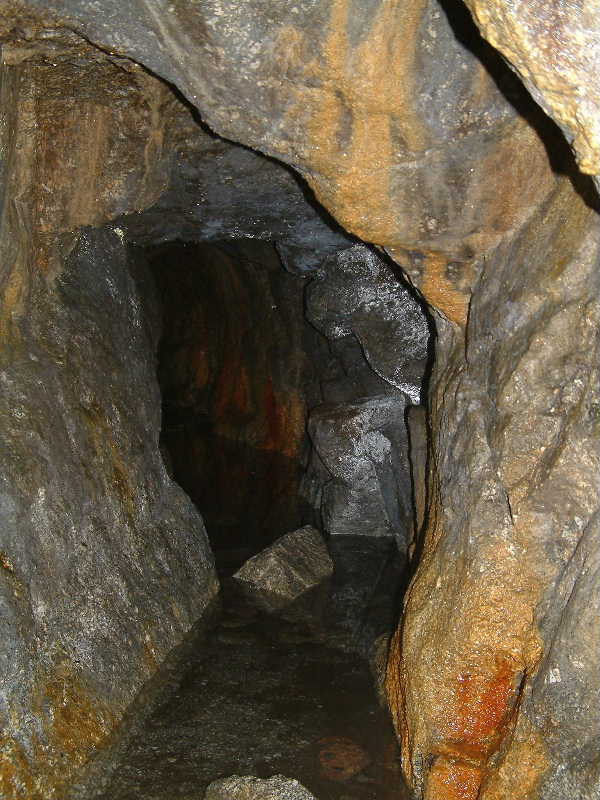
| Golden Dagger Mine, Warren House, North Bovey, Teignbridge, Devon, England, UK | 50° 36' 12" N | 3° 51' 30" W | 8.1km (5.0 miles) | |
| Ramsley Mine (Fursdon Mine), South Tawton, West Devon, Devon, England, UK | 50° 43' 13" N | 3° 54' 39" W | 8.3km (5.1 miles) | |
| Soussons Warren, Warren House, North Bovey, Teignbridge, Devon, England, UK | 50° 35' 46" N | 3° 51' 44" W | 8.9km (5.6 miles) | |
| Chinkwell Tor, Widecombe-In-The-Moor, Teignbridge, Devon, England, UK | 50° 35' 21" N | 3° 47' 46" W | 9.4km (5.8 miles) | |
| Laployd Down, Bridford, Teignbridge, Devon, England, UK | 50° 39' 13" N | 3° 41' 26" W | 9.4km (5.9 miles) | |
| Hedgemoor Farm, Bridford, Teignbridge, Devon, England, UK | 50° 39' 32" N | 3° 41' 16" W | 9.5km (5.9 miles) | |
| Knack Mine (Steeperton Mine), Dartmoor Forest, West Devon, Devon, England, UK | 50° 40' 44" N | 3° 57' 38" W | 9.8km (6.1 miles) | |
| Kelly Mine, Bovey Tracey, Teignbridge, Devon, England, UK | 50° 37' 22" N | 3° 42' 12" W | 10.0km (6.2 miles) | |
| Belstone Cleave, Belstone, West Devon, Devon, England, UK | 50° 43' 41" N | 3° 56' 9" W | 10.2km (6.3 miles) | |
| Hawkmoor Mine, Bovey Tracey, Teignbridge, Devon, England, UK | 50° 37' 22" N | 3° 41' 52" W | 10.3km (6.4 miles) | |
| Ivy Tor Mine, Belstone, West Devon, Devon, England, UK | 50° 43' 24" N | 3° 56' 43" W | 10.4km (6.5 miles) | |
| Belstone Consols (Mid-Devon Copper Mine), Belstone, West Devon, Devon, England, UK | 50° 43' 59" N | 3° 56' 18" W | 10.7km (6.6 miles) | |
| Tottiford, Hennock, Teignbridge, Devon, England, UK | 50° 37' 48" N | 3° 40' 51" W | 10.9km (6.8 miles) | |
| Plumley Mine, Bovey Tracey, Teignbridge, Devon, England, UK | 50° 36' 47" N | 3° 41' 26" W | 11.3km (7.0 miles) | |
| Shaptor Mine, Bovey Tracey, Teignbridge, Devon, England, UK | 50° 36' 52" N | 3° 41' 16" W | 11.4km (7.1 miles) | |
Minerals recorded nearby (within 11.4 km)
Rock types recorded nearby (within 11.4 km)
Entries shown in red are rocks recorded for this region.


Golden Dagger Mine, Warren House, North Bovey, Teignbridge, Devon, England, UK