Richard Zmasek's Photo Gallery
Satellite View of Noblitt Manganese Claim
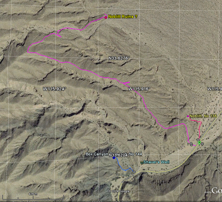
Satellite View from Google Earth showing location and track
Box Canyon Prospect Satellite View
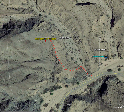
Satellite View from Google Earth with Track
Entrance to the Lower Adit

entrance to the Lower Adit
Mine area as shown by Google Earth

It shows the hiking track and the location of adits and the mill site as a satellite view from Google Earth
Hiking Track to the Orocopia mine
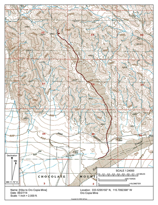
It shows the hike to the Orocopia mine on a topographic map.
Topo map of Seyer deposit with GPS track

The map shows the location of the Seyer Graphite Deposit with a GPS track.
Topo map of location and hike
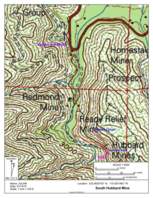
This topo shows location of adit and shaft as well as the hiking track.
Topo map with track to the mine.
The topo map shows how to reach the mine, Drive (4x4) and Hike.
Adit entrance
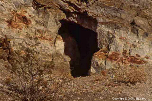
Image shows the entrance of the adit
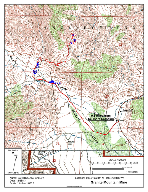
Topo with track to the adit entrance

The image shows the track from the Hwy S-22 to the adit entrance


