| Locality | Latitude | Longitude | Distance | Bearing |
|---|
| Brow Vein, Wanlock Dod, Leadhills, South Lanarkshire, Scotland, UK | 55° 24' 41" N | 3° 46' 20" W | 0.0km (0.0 miles) | |
| West Stayvoyage Vein, Wanlock Dod, Leadhills, South Lanarkshire, Scotland, UK | 55° 24' 38" N | 3° 46' 37" W | 0.3km (0.2 miles) | |
| Lady Anne Hopetoun shaft (Brow and Hopeful Veins), Wanlock Dod, Leadhills, South Lanarkshire, Scotland, UK | 55° 24' 30" N | 3° 46' 12" W | 0.4km (0.2 miles) | |
| George Roust Vein, Wanlock Dod, Leadhills, South Lanarkshire, Scotland, UK | 55° 24' 33" N | 3° 46' 5" W | 0.4km (0.2 miles) | |
| Hopeful Vein, Wanlock Dod, Leadhills, South Lanarkshire, Scotland, UK | 55° 24' 29" N | 3° 46' 9" W | 0.4km (0.3 miles) | |
| Claystring Vein, Wanlock Dod, Leadhills, South Lanarkshire, Scotland, UK | 55° 24' 35" N | 3° 45' 57" W | 0.4km (0.3 miles) | |
| Scar Vein, Wanlock Dod, Leadhills, South Lanarkshire, Scotland, UK | 55° 24' 26" N | 3° 46' 9" W | 0.5km (0.3 miles) | |
| Sarrowcole Vein, Laverock Hall, Leadhills, South Lanarkshire, Scotland, UK | 55° 24' 28" N | 3° 46' 3" W | 0.5km (0.3 miles) | |
| Laverock Hall, Leadhills, South Lanarkshire, Scotland, UK | 55° 25' 0" N | 3° 46' 27" W | 0.6km (0.4 miles) | |
| Laverock Hall Vein, Laverock Hall, Leadhills, South Lanarkshire, Scotland, UK | 55° 25' 0" N | 3° 46' 14" W | 0.6km (0.4 miles) | |
| Wanlock Dod, Leadhills, South Lanarkshire, Scotland, UK | 55° 24' 24" N | 3° 46' 39" W | 0.6km (0.4 miles) | |
| Katrine vein, Wanlock Dod, Leadhills, South Lanarkshire, Scotland, UK | 55° 24' 22" N | 3° 46' 2" W | 0.7km (0.4 miles) | |
| Stay the Voyage Vein, Wanlock Dod, Leadhills, South Lanarkshire, Scotland, UK | 55° 24' 18" N | 3° 46' 19" W | 0.7km (0.4 miles) | |
| East Stayvoyage Vein, Wanlock Dod, Leadhills, South Lanarkshire, Scotland, UK | 55° 24' 18" N | 3° 46' 14" W | 0.7km (0.4 miles) | |
| Dobbies Vein, Mine Hill, Leadhills, South Lanarkshire, Scotland, UK | 55° 24' 29" N | 3° 45' 45" W | 0.7km (0.4 miles) | |
| High Pirn Mine (Belton Grain Vein and New Vein), Wanlock Dod-Whytes Cleuch, Wanlockhead, Dumfries and Galloway, Scotland, UK | 55° 24' 23" N | 3° 46' 49" W | 0.8km (0.5 miles) | |
| Glengonnar shaft (Brow and Browns Veins), Mine Hill, Leadhills, South Lanarkshire, Scotland, UK | 55° 24' 19" N | 3° 46' 0" W | 0.8km (0.5 miles) | |
| New Vein, Wanlock Dod-Whytes Cleuch, Wanlockhead, Dumfries and Galloway, Scotland, UK | 55° 24' 21" N | 3° 46' 50" W | 0.8km (0.5 miles) | |
| Browns Vein, Mine Hill, Leadhills, South Lanarkshire, Scotland, UK | 55° 24' 35" N | 3° 45' 35" W | 0.8km (0.5 miles) | |
| Wilsons Vein, Whytes Cleuch, Wanlockhead, Dumfries and Galloway, Scotland, UK | 55° 24' 21" N | 3° 46' 54" W | 0.8km (0.5 miles) | |
| Wilsons shaft (Brown's vein), Mine Hill, Leadhills, South Lanarkshire, Scotland, UK | 55° 24' 33" N | 3° 45' 33" W | 0.9km (0.5 miles) | |
| Belton Grain vein, Wanlock Dod-Whytes Cleuch, Wanlockhead, Dumfries and Galloway, Scotland, UK | 55° 24' 16" N | 3° 46' 45" W | 0.9km (0.5 miles) | |
| New Cove Vein, Whytes Cleuch, Wanlockhead, Dumfries and Galloway, Scotland, UK | 55° 24' 18" N | 3° 46' 53" W | 0.9km (0.6 miles) | |
| Gordon's Vein, Snar Water, Leadhills, South Lanarkshire, Scotland, UK | 55° 24' 57" N | 3° 47' 6" W | 0.9km (0.6 miles) | |
| Horners Vein (Jeffrey's Vein; Carse's Vein), Leadhills, South Lanarkshire, Scotland, UK | 55° 24' 33" N | 3° 45' 29" W | 0.9km (0.6 miles) | |
| Lammingtons Vein, Mine Hill, Leadhills, South Lanarkshire, Scotland, UK | 55° 24' 32" N | 3° 45' 29" W | 0.9km (0.6 miles) | |
| Goldscaur Vein, Wanlock Dod-Whytes Cleuch, Wanlockhead, Dumfries and Galloway, Scotland, UK | 55° 24' 12" N | 3° 46' 36" W | 0.9km (0.6 miles) | |
| Cove Vein, Whytes Cleuch, Wanlockhead, Dumfries and Galloway, Scotland, UK | 55° 24' 15" N | 3° 46' 53" W | 1.0km (0.6 miles) | |
| Leadhills, South Lanarkshire, Scotland, UK | 55° 25' 6" N | 3° 45' 36" W | 1.1km (0.7 miles) | |
| Wanlock Dod-Whytes Cleuch, Wanlockhead, Dumfries and Galloway, Scotland, UK | 55° 24' 19" N | 3° 47' 10" W | 1.1km (0.7 miles) | |


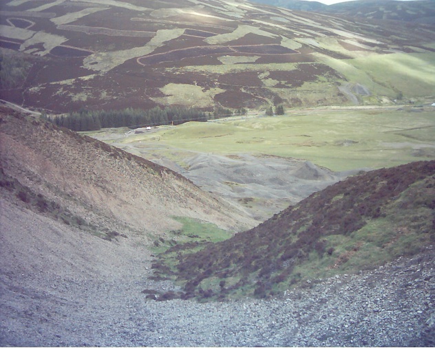


Lady Anne Hopetoun shaft, Wanlock Dod, Leadhills, South Lanarkshire, Scotland, UK