| Locality | Latitude | Longitude | Distance | Bearing |
|---|
| Arkansas River Placers Mining District, Fremont County, Colorado, USA | 38° 25' 0" N | 105° 30' 0" W | 0.0km (0.0 miles) | |
| Poston Pegmatite Occurrence, Fremont County, Colorado, USA | 38° 24' 7" N | 105° 29' 52" W | 1.6km (1.0 miles) | |
| Poverty Mountain Road Prospect, McIntyre Hills Area, Fremont County, Colorado, USA | 38° 24' 23" N | 105° 28' 39" W | 2.2km (1.4 miles) | |
| Pinon Peak breccia pipe, Fremont County, Colorado, USA | 38° 24' 47" N | 105° 28' 27" W | 2.3km (1.4 miles) | |
| Pegmatite Occurrence (MRDS - 10018402), Texas Creek Area, Fremont County, Colorado, USA | 38° 24' 45" N | 105° 31' 33" W | 2.3km (1.4 miles) | |
| Adamic Cow Camp Workings Occurrence (Apollo Claim; Apollo No. 1 Claim 1977), Grape Creek Mining District (Greenhorn Mining District), Fremont County, Colorado, USA | 38° 24' 9" N | 105° 28' 22" W | 2.8km (1.8 miles) | |
| Canon Dolomite Quarry, Fremont County, Colorado, USA | 38° 26' 39" N | 105° 29' 33" W | 3.1km (1.9 miles) | |
| Oliver Prospect, Texas Creek Area, Fremont County, Colorado, USA | 38° 23' 11" N | 105° 29' 25" W | 3.4km (2.1 miles) | |
| Five Points Gulch, Fremont County, Colorado, USA | 38° 25' 37" N | 105° 32' 39" W | 4.0km (2.5 miles) | |
| Unknown Mica - Feldspar Occurrence (MRDS - 10091545), McIntyre Hills Area, Fremont County, Colorado, USA | 38° 27' 17" N | 105° 30' 16" W | 4.2km (2.6 miles) | |
| Silver Plume Pegmatite Occurrence, Fremont County, Colorado, USA | 38° 26' 26" N | 105° 32' 19" W | 4.3km (2.7 miles) | |
| Leeks Lode, Copper Gulch Area, Fremont County, Colorado, USA | 38° 25' 0" N | 105° 26' 58" W | 4.4km (2.7 miles) | |
| Unknown Mica - Feldspar Occurrence (MRDS - 10091544), McIntyre Hills Area, Fremont County, Colorado, USA | 38° 27' 17" N | 105° 29' 8" W | 4.4km (2.7 miles) | |
| Unnamed Copper Pegmatite Occurrence (MRDS - 10013424), McIntyre Hills Area, Fremont County, Colorado, USA | 38° 27' 10" N | 105° 28' 29" W | 4.6km (2.8 miles) | |
| Spikebuck Mine, McIntyre Hills Area, Fremont County, Colorado, USA | 38° 27' 11" N | 105° 28' 11" W | 4.8km (3.0 miles) | |
| Highway 50 roadcut, Texas Creek Area, Fremont County, Colorado, USA | 38° 25' 31" N | 105° 33' 31" W | 5.2km (3.2 miles) | |
| Navajo Claims (Big Emma), Texas Creek Area, Fremont County, Colorado, USA | 38° 24' 10" N | 105° 33' 27" W | 5.2km (3.3 miles) | |
| Horsepasture Pegmatites Occurrence, Lookout Mountain Area, Fremont County, Colorado, USA | 38° 22' 33" N | 105° 32' 4" W | 5.4km (3.4 miles) | |
| Little Giant Claims, Copper Gulch Area, Deweese Plateau, Fremont County, Colorado, USA | 38° 22' 59" N | 105° 27' 1" W | 5.7km (3.5 miles) | |
| Jim 8 Occurrence, Lookout Mountain Area, Fremont County, Colorado, USA | 38° 22' 4" N | 105° 31' 32" W | 5.9km (3.7 miles) | |
| Debbie Jean Claims, Texas Creek Area, Fremont County, Colorado, USA | 38° 25' 22" N | 105° 34' 2" W | 5.9km (3.7 miles) | |
| Jim 3 Mine, Lookout Mountain Area, Fremont County, Colorado, USA | 38° 22' 11" N | 105° 32' 11" W | 6.1km (3.8 miles) | |
| Big Bear Occurrence (Big Hole; Cactus Claims), Texas Creek Area, Fremont County, Colorado, USA | 38° 27' 45" N | 105° 32' 22" W | 6.2km (3.8 miles) | |
| Baker Gulch Prospect, McIntyre Hills Area, Fremont County, Colorado, USA | 38° 27' 29" N | 105° 27' 9" W | 6.2km (3.8 miles) | |
| Goldie carbonatite, Fremont County, Colorado, USA | 38° 22' 0" N | 105° 31' 59" W | 6.3km (3.9 miles) | |
| Copper Gulch Area, Deweese Plateau, Fremont County, Colorado, USA | 38° 22' 14" N | 105° 27' 28" W | 6.3km (3.9 miles) | |
| Ilmenite Pegmatite Occurrence (MRDS - 10010868), Lookout Mountain Area, Fremont County, Colorado, USA | 38° 21' 58" N | 105° 31' 59" W | 6.3km (3.9 miles) | |
| War Dance Mine (War Dance Claims), Copper Gulch Area, Deweese Plateau, Fremont County, Colorado, USA | 38° 22' 50" N | 105° 26' 34" W | 6.4km (4.0 miles) | |
| Jack of Diamonds Prospect, McIntyre Hills Area, Fremont County, Colorado, USA | 38° 22' 55" N | 105° 25' 57" W | 7.0km (4.3 miles) | |
| Misery Mines (Satan Group; Joe and Bob Claims; Group of Claims; Misery Mines; Satan; Joe and Bob; Red Hill; Tanner Boy Group), Echo Park Area, Fremont County, Colorado, USA | 38° 28' 34" N | 105° 32' 12" W | 7.4km (4.6 miles) | |


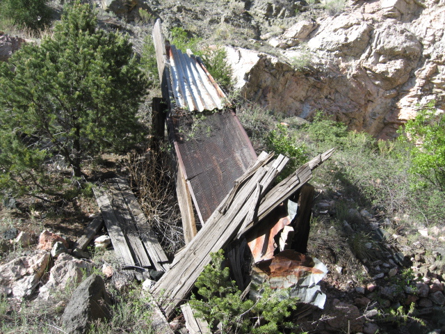


Spikebuck Mine, McIntyre Hills Area, Fremont County, Colorado, USA