| Locality | Latitude | Longitude | Distance | Bearing |
|---|
| Bisbee Coalition Mines (Eureka and North Bisbee groups), Tombstone Canyon, Cochise County, Arizona, USA | 31° 29' 17" N | 109° 59' 11" W | 0.0km (0.0 miles) | |
| Juniper Flats, Bisbee, Cochise County, Arizona, USA | 31° 29' 4" N | 109° 58' 2" W | 1.9km (1.2 miles) | |
| Lucky Strike prospect, Cochise County, Arizona, USA | 31° 28' 14" N | 109° 59' 3" W | 2.0km (1.2 miles) | |
| Cochise Queen prospect, Cochise County, Arizona, USA | 31° 29' 17" N | 109° 57' 28" W | 2.7km (1.7 miles) | |
| Mountain View Mine, Cochise County, Arizona, USA | 31° 28' 23" N | 109° 57' 38" W | 3.0km (1.8 miles) | |
| Stout Mine, Juniper Flats, Bisbee, Cochise County, Arizona, USA | 31° 30' 24" N | 110° 0' 42" W | 3.2km (2.0 miles) | |
| Captain prospect, Cochise County, Arizona, USA | 31° 27' 51" N | 110° 0' 33" W | 3.5km (2.2 miles) | |
| Modern prospect, Cochise County, Arizona, USA | 31° 31' 22" N | 109° 59' 21" W | 3.8km (2.4 miles) | |
| Escabrosa Ridge, Bisbee, Cochise County, Arizona, USA | 31° 27' 2" N | 109° 57' 42" W | 4.8km (3.0 miles) | |
| Unnamed prospects, Juniper Flats, Bisbee, Cochise County, Arizona, USA | 31° 28' 3" N | 109° 56' 16" W | 5.2km (3.2 miles) | |
| Inspiration group, Cochise County, Arizona, USA | 31° 28' 10" N | 109° 55' 35" W | 6.1km (3.8 miles) | |
| Caretto claim group, Cochise County, Arizona, USA | 31° 26' 59" N | 109° 55' 59" W | 6.6km (4.1 miles) | |
| Yakima Dolomite occurrence, Cochise County, Arizona, USA | 31° 25' 58" N | 109° 57' 29" W | 6.7km (4.2 miles) | |
| Hopeful claim, Cochise County, Arizona, USA | 31° 32' 44" N | 110° 0' 38" W | 6.8km (4.2 miles) | |
| New York Mine, Bisbee, Cochise County, Arizona, USA | 31° 25' 58" N | 109° 56' 38" W | 7.4km (4.6 miles) | |
| Higgins Mine, Bisbee, Cochise County, Arizona, USA | 31° 26' 22" N | 109° 55' 18" W | 8.2km (5.1 miles) | |
| Twilight Mine, Higgins Mine, Bisbee, Cochise County, Arizona, USA | 31° 26' 18" N | 109° 55' 22" W | 8.2km (5.1 miles) | |
| Hendricks Mine, Hendricks Gulch, Bisbee, Cochise County, Arizona, USA | 31° 26' 17" N | 109° 55' 12" W | 8.4km (5.2 miles) | |
| Copper Prince Mine, Bisbee, Cochise County, Arizona, USA | 31° 26' 27" N | 109° 55' 0" W | 8.4km (5.2 miles) | |
| Atlanta Mine, Bisbee, Cochise County, Arizona, USA | 31° 26' 20" N | 109° 55' 1" W | 8.6km (5.3 miles) | |
| Hendricks Gulch, Bisbee, Cochise County, Arizona, USA | 31° 26' 26" N | 109° 54' 54" W | 8.6km (5.3 miles) | |
| Brewery Gulch, Bisbee, Cochise County, Arizona, USA | 31° 26' 31" N | 109° 54' 48" W | 8.6km (5.3 miles) | |
| Southwest Mine, Hendricks Gulch, Bisbee, Cochise County, Arizona, USA | 31° 26' 22" N | 109° 54' 56" W | 8.6km (5.4 miles) | |
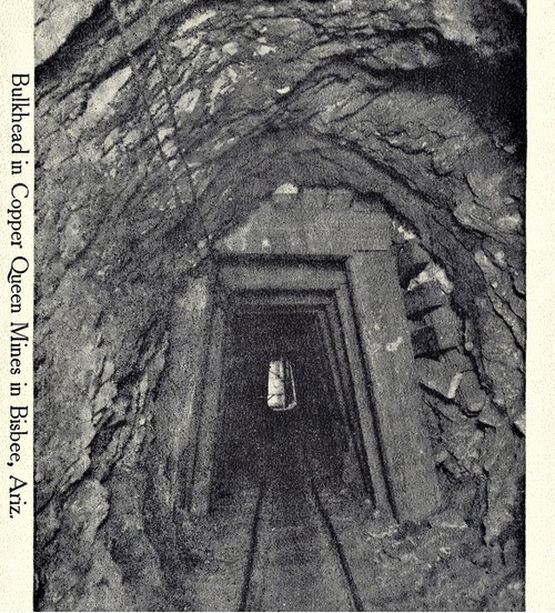
| Copper Queen Mine, Queen Hill, Bisbee, Cochise County, Arizona, USA | 31° 26' 26" N | 109° 54' 51" W | 8.7km (5.4 miles) | |
| Sunrise Shaft, Bisbee, Cochise County, Arizona, USA | 31° 26' 8" N | 109° 55' 8" W | 8.7km (5.4 miles) | |
| Queen Hill, Bisbee, Cochise County, Arizona, USA | 31° 26' 18" N | 109° 54' 52" W | 8.8km (5.5 miles) | |
| Uncle Sam Mine, Uncle Sam Gulch, Cochise County, Arizona, USA | 31° 26' 2" N | 109° 55' 9" W | 8.8km (5.5 miles) | |
| Cave Mine, Bisbee, Cochise County, Arizona, USA | 31° 26' 22" N | 109° 54' 45" W | 8.8km (5.5 miles) | |
| Czar Mine, Copper Queen Mine, Queen Hill, Bisbee, Cochise County, Arizona, USA | 31° 26' 30" N | 109° 54' 33" W | 8.9km (5.6 miles) | |
| Holbrook Extension, Lavender Pit, Bisbee, Cochise County, Arizona, USA | 31° 26' 20" N | 109° 54' 40" W | 9.0km (5.6 miles) | |


Copper Queen Mine, Queen Hill, Bisbee, Cochise County, Arizona, USA