| Locality | Latitude | Longitude | Distance | Bearing |
|---|
| Newcastle, Mourne Mountains, County Down, Northern Ireland, UK | 54° 12' 54" N | 5° 53' 22" W | 6.0km (3.7 miles) | |
| Lindsay's Leap, Newcastle, Mourne Mountains, County Down, Northern Ireland, UK | 54° 11' 35" N | 5° 54' 1" W | 8.4km (5.2 miles) | |
| Diamond Rocks, Mourne Mountains, County Down, Northern Ireland, UK | 54° 11' 37" N | 5° 57' 59" W | 10.9km (6.8 miles) | |
| Slieve Meelmore, Mourne Mountains, County Down, Northern Ireland, UK | 54° 11' 32" N | 5° 59' 55" W | 12.6km (7.8 miles) | |
| Slieve Bearnagh, Mourne Mountains, County Down, Northern Ireland, UK | 54° 11' 3" N | 5° 59' 18" W | 12.7km (7.9 miles) | |
| Slieve Binnian (Sliabh Binneáin), Mourne Mountains, County Down, Northern Ireland, UK | 54° 8' 33" N | 5° 58' 46" W | 15.9km (9.9 miles) | |
| Slievenamiskan, Spelga, Mourne Mountains, County Down, Northern Ireland, UK | 54° 10' 39" N | 6° 4' 16" W | 17.4km (10.8 miles) | |
| White Water, Pigeon Rock Mountain, Mourne Mountains, County Down, Northern Ireland, UK | 54° 9' 29" N | 6° 3' 22" W | 17.9km (11.1 miles) | |
| Pigeon Rock Mountain, Mourne Mountains, County Down, Northern Ireland, UK | 54° 8' 28" N | 6° 3' 50" W | 19.5km (12.1 miles) | |
| Aughrim Quarry, Aughrim Hill, Kilkeel, County Down, Northern Ireland, UK | 54° 5' 42" N | 6° 2' 4" W | 22.2km (13.8 miles) | |
| Wee Roosley quarry, Mourne Mountains, County Down, Northern Ireland, UK | 54° 9' 28" N | 6° 9' 23" W | 23.3km (14.5 miles) | |
| Gruggandoo, Mourne Mountains, County Down, Northern Ireland, UK | 54° 9' 50" N | 6° 9' 47" W | 23.3km (14.5 miles) | |
| Portaferry dike, County Down, Northern Ireland, UK | 54° 22' 20" N | 5° 29' 37" W | 25.9km (16.1 miles) | |
| Rosstrevor, County Down, Northern Ireland, UK | 54° 6' 2" N | 6° 12' 1" W | 29.2km (18.2 miles) | |
| Whitemountain Comber quarry, Comber, County Down, Northern Ireland, UK | 54° 33' 43" N | 5° 47' 5" W | 33.6km (20.9 miles) | |
| Carlingford Mountain, Carlingford, Louth County, Leinster, Ireland | 54° 2' 39" N | 6° 13' 5" W | 34.3km (21.3 miles) | |
| Trummery Quarry, Castle Robin, Co. Antrim, Northern Ireland, UK | 54° 30' 2" N | 6° 11' 26" W | 34.7km (21.6 miles) | |
| Barnavave, Carlingford, Louth County, Leinster, Ireland | 54° 1' 36" N | 6° 12' 18" W | 35.1km (21.8 miles) | |
| White Mountain Quarry, Belfast, Co. Antrim, Northern Ireland, UK | 54° 32' 41" N | 6° 5' 26" W | 35.2km (21.9 miles) | |
| Newtownards, County Down, Northern Ireland, UK | 54° 35' 33" N | 5° 41' 46" W | 38.0km (23.6 miles) | |
| North Down Quarry, Newtownards, County Down, Northern Ireland, UK | 54° 36' 34" N | 5° 43' 45" W | 39.4km (24.5 miles) | |
| Craigantlet Quarry, Newtownards, County Down, Northern Ireland, UK | 54° 37' 3" N | 5° 45' 34" W | 39.9km (24.8 miles) | |
| Whitespots-Conlig mines (Whitespots-Conlig vein), Conlig, County Down, Northern Ireland, UK | 54° 36' 51" N | 5° 41' 19" W | 40.5km (25.2 miles) | |
| Conlig, County Down, Northern Ireland, UK | 54° 37' 45" N | 5° 40' 39" W | 42.3km (26.3 miles) | |
| Wolf Hill Quarry, Belfast, Co. Antrim, Northern Ireland, UK | 54° 37' 50" N | 6° 0' 31" W | 42.3km (26.3 miles) | |
| Squire's Hill, Belfast, Co. Antrim, Northern Ireland, UK | 54° 38' 28" N | 5° 58' 54" W | 43.1km (26.8 miles) | |
| Unnamed quarry, Squire's Hill, Belfast, Co. Antrim, Northern Ireland, UK | 54° 38' 32" N | 5° 58' 37" W | 43.1km (26.8 miles) | |
| Cave Hill, Belfast, Co. Antrim, Northern Ireland, UK | 54° 39' 1" N | 5° 57' 44" W | 43.8km (27.2 miles) | |
| Hightown Quarry, Templepatrick, Co. Antrim, Northern Ireland, UK | 54° 39' 9" N | 5° 59' 58" W | 44.6km (27.7 miles) | |
| Forkhill quarry, Co. Armagh, Northern Ireland, UK | 54° 4' 59" N | 6° 27' 45" W | 44.8km (27.8 miles) | |
Minerals recorded nearby (within 20 km)
Rock types recorded nearby (within 20 km)
Entries shown in red are rocks recorded for this region.
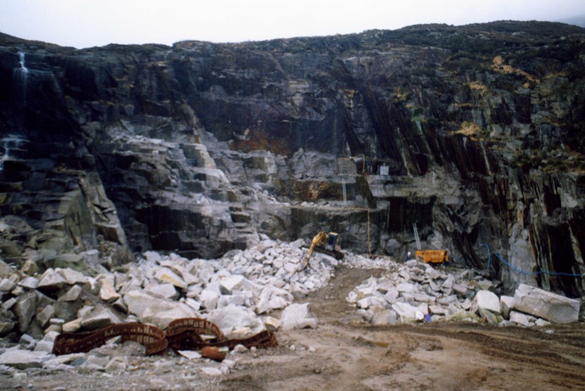


Lindsay's Leap, Newcastle, Mourne Mountains, County Down, Northern Ireland, UK