| Locality | Latitude | Longitude | Distance | Bearing |
|---|
| Gemmenich, Plombières, Liège, Wallonia, Belgium | 50° 44' 48" N | 5° 59' 39" E | 2.3km (1.4 miles) | |
| Cottessen, Vaals, Limburg, Netherlands | 50° 45' 32" N | 5° 56' 23" E | 4.0km (2.5 miles) | |
| Bleyberg zinc and lead smelter slag locality, Plombières, Liège, Wallonia, Belgium | 50° 44' 9" N | 5° 58' 0" E | 4.0km (2.5 miles) | |
| Terbruggen, Sippenaeken, Plombières, Liège, Wallonia, Belgium | 50° 45' 3" N | 5° 56' 32" E | 4.1km (2.6 miles) | |
| Bleyberg mine, Plombières, Liège, Wallonia, Belgium | 50° 44' 2" N | 5° 58' 10" E | 4.1km (2.6 miles) | |
| Cottessen quarry, Cottessen, Vaals, Limburg, Netherlands | 50° 45' 31" N | 5° 56' 15" E | 4.2km (2.6 miles) | |
| Kamp quarry, Vaals, Limburg, Netherlands | 50° 45' 47" N | 5° 55' 57" E | 4.4km (2.8 miles) | |
| Heimans quarry, Vaals, Limburg, Netherlands | 50° 45' 46" N | 5° 55' 51" E | 4.6km (2.8 miles) | |
| Sippenaeken, Plombières, Liège, Wallonia, Belgium | 50° 45' 2" N | 5° 56' 2" E | 4.7km (2.9 miles) | |
| Käskorb sand pit, Kelmis, Liège, Wallonia, Belgium | 50° 43' 40" N | 6° 1' 15" E | 4.8km (3.0 miles) | |
| Bommerig, Mechelen, Gulpen-Wittem, Limburg, Netherlands | 50° 46' 46" N | 5° 55' 38" E | 5.0km (3.1 miles) | |
| Wingberg, Vaals, Limburg, Netherlands | 50° 46' 22" N | 5° 55' 21" E | 5.1km (3.2 miles) | |
| Sijlerbeek, Epen, Gulpen-Wittem, Limburg, Netherlands | 50° 46' 3" N | 5° 55' 18" E | 5.2km (3.2 miles) | |
| Moresnet, Plombières, Liège, Wallonia, Belgium | 50° 43' 15" N | 5° 59' 20" E | 5.2km (3.2 miles) | |
| Geuldal, Epen, Gulpen-Wittem, Limburg, Netherlands | 50° 46' 29" N | 5° 55' 18" E | 5.2km (3.2 miles) | |
| Terziet, Epen, Gulpen-Wittem, Limburg, Netherlands | 50° 45' 37" N | 5° 54' 40" E | 6.0km (3.7 miles) | |
| Altenberg mine, Kelmis, Liège, Wallonia, Belgium | 50° 42' 51" N | 6° 0' 32" E | 6.0km (3.7 miles) | |
| Aachen meteorite, Aachen, Cologne, North Rhine-Westphalia, Germany | 50° 46' 29" N | 6° 4' 59" E | 6.2km (3.9 miles) | |
| Lousberg, Aachen, Cologne, North Rhine-Westphalia, Germany | 50° 47' 12" N | 6° 4' 45" E | 6.3km (3.9 miles) | |
| Montzen, Plombières, Liège, Wallonia, Belgium | 50° 42' 28" N | 5° 57' 45" E | 7.0km (4.4 miles) | |
| Victor quarry, Hergenrath, Kelmis, Liège, Wallonia, Belgium | 50° 42' 59" N | 6° 3' 18" E | 7.1km (4.4 miles) | |
| Hombourg, Plombières, Liège, Wallonia, Belgium | 50° 43' 23" N | 5° 55' 11" E | 7.2km (4.5 miles) | |
| Bovenste Bosch quarry, Terziet, Epen, Gulpen-Wittem, Limburg, Netherlands | 50° 45' 30" N | 5° 53' 28" E | 7.4km (4.6 miles) | |
| Auenberg prospect, Kelmis, Liège, Wallonia, Belgium | 50° 42' 2" N | 6° 0' 7" E | 7.5km (4.6 miles) | |
| Schmalgraf mine, Kelmis, Liège, Wallonia, Belgium | 50° 41' 50" N | 5° 59' 12" E | 7.8km (4.9 miles) | |
| Flög quarry, Hauset, Raeren, Liège, Wallonia, Belgium | 50° 43' 10" N | 6° 4' 45" E | 7.9km (4.9 miles) | |
| Luisenstollen, Fossey mine, Astenet, Lontzen, Liège, Wallonia, Belgium | 50° 42' 5" N | 6° 2' 21" E | 8.0km (5.0 miles) | |
| Eschbroich mine, Lontzen, Liège, Wallonia, Belgium | 50° 41' 42" N | 5° 58' 51" E | 8.1km (5.0 miles) | |
| Graaf, Montzen, Plombières, Liège, Wallonia, Belgium | 50° 42' 1" N | 5° 56' 50" E | 8.2km (5.1 miles) | |
| Prester, Fossey mine, Astenet, Lontzen, Liège, Wallonia, Belgium | 50° 41' 50" N | 6° 2' 45" E | 8.6km (5.3 miles) | |

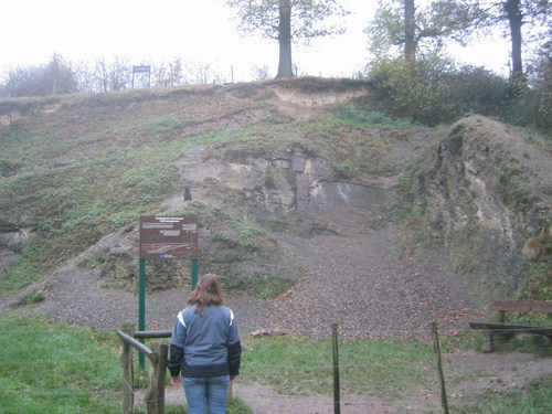
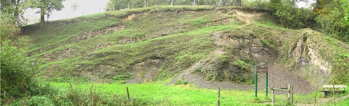


Schmalgraf mine, Kelmis, Liège, Wallonia, Belgium