| Locality | Latitude | Longitude | Distance | Bearing |
|---|
| Wildkogel, Bramberg am Wildkogel, Zell am See District, Salzburg, Austria | 47° 17' 8" N | 12° 17' 49" E | 0.4km (0.2 miles) | |
| Mühlbach valley, Mühlbach im Pinzgau, Bramberg am Wildkogel, Zell am See District, Salzburg, Austria | 47° 19' 20" N | 12° 18' 32" E | 4.4km (2.7 miles) | |
| Scheißgraben (Kotriese; incl. Zima cleft), Bramberg am Wildkogel, Zell am See District, Salzburg, Austria | 47° 14' 27" N | 12° 18' 56" E | 4.8km (3.0 miles) | |
| St Lucia adit, Brenntal, Mühlbach im Pinzgau, Bramberg am Wildkogel, Zell am See District, Salzburg, Austria | 47° 15' 49" N | 12° 22' 6" E | 5.6km (3.5 miles) | |
| Brenntal, Mühlbach im Pinzgau, Bramberg am Wildkogel, Zell am See District, Salzburg, Austria | 47° 15' 49" N | 12° 22' 8" E | 5.6km (3.5 miles) | |
| Mühlbach im Pinzgau, Bramberg am Wildkogel, Zell am See District, Salzburg, Austria | 47° 16' 41" N | 12° 22' 30" E | 5.7km (3.5 miles) | |
| Leffler source, Bramberg am Wildkogel, Zell am See District, Salzburg, Austria | 47° 14' 8" N | 12° 19' 45" E | 5.8km (3.6 miles) | |
| Windbach valley, Bramberg am Wildkogel, Zell am See District, Salzburg, Austria | 47° 14' 7" N | 12° 19' 42" E | 5.8km (3.6 miles) | |
| Gamseck area (Gamskogel), Bramberg am Wildkogel, Zell am See District, Salzburg, Austria | 47° 13' 25" N | 12° 18' 44" E | 6.7km (4.2 miles) | |
| Peiting Alp, Gamseck area (Gamskogel), Bramberg am Wildkogel, Zell am See District, Salzburg, Austria | 47° 13' 31" N | 12° 19' 25" E | 6.7km (4.2 miles) | |
| Knappenwand, Knappenwand area, Neukirchen am Großvenediger, Zell am See District, Salzburg, Austria | 47° 13' 20" N | 12° 16' 41" E | 7.0km (4.3 miles) | |
| Habach bridge, Bramberg am Wildkogel, Zell am See District, Salzburg, Austria | 47° 13' 33" N | 12° 20' 14" E | 7.0km (4.3 miles) | |
| Kar Alp area, Bramberg am Wildkogel, Zell am See District, Salzburg, Austria | 47° 14' 13" N | 12° 21' 44" E | 7.0km (4.3 miles) | |
| Popberg Alp (Poppberg Alp), Neukirchen am Großvenediger, Zell am See District, Salzburg, Austria | 47° 13' 13" N | 12° 17' 41" E | 7.0km (4.4 miles) | |
| Elferkogel, Bramberg am Wildkogel, Zell am See District, Salzburg, Austria | 47° 14' 24" N | 12° 22' 4" E | 7.0km (4.4 miles) | |
| Hochfeld Mine, Neukirchen am Großvenediger, Zell am See District, Salzburg, Austria | 47° 13' 19" N | 12° 16' 26" E | 7.1km (4.4 miles) | |
| Silver Mines, Gamseck area (Gamskogel), Bramberg am Wildkogel, Zell am See District, Salzburg, Austria | 47° 13' 11" N | 12° 18' 56" E | 7.2km (4.4 miles) | |
| Upper Peiting Alp, Gamseck area (Gamskogel), Bramberg am Wildkogel, Zell am See District, Salzburg, Austria | 47° 13' 12" N | 12° 19' 3" E | 7.2km (4.4 miles) | |
| Ger Alp - Gerwand area, Bramberg am Wildkogel, Zell am See District, Salzburg, Austria | 47° 14' 34" N | 12° 22' 28" E | 7.2km (4.5 miles) | |
| Gamsplaike, Bramberg am Wildkogel, Zell am See District, Salzburg, Austria | 47° 13' 19" N | 12° 19' 54" E | 7.2km (4.5 miles) | |
| Stocker Alp - north of, Leutachkopf - Stocker Alp area, Neukirchen am Großvenediger, Zell am See District, Salzburg, Austria | 47° 13' 4" N | 12° 17' 52" E | 7.3km (4.5 miles) | |
| Resterhöhe, Thurn pass, Mittersill, Zell am See District, Salzburg, Austria | 47° 18' 46" N | 12° 23' 10" E | 7.3km (4.5 miles) | |
| Leutachkopf - Stocker Alp area, Neukirchen am Großvenediger, Zell am See District, Salzburg, Austria | 47° 13' 1" N | 12° 17' 53" E | 7.4km (4.6 miles) | |
| Stocker Alp - east of, Leutachkopf - Stocker Alp area, Neukirchen am Großvenediger, Zell am See District, Salzburg, Austria | 47° 13' 1" N | 12° 17' 59" E | 7.4km (4.6 miles) | |
| Feschwand, Bramberg am Wildkogel, Zell am See District, Salzburg, Austria | 47° 13' 7" N | 12° 19' 36" E | 7.5km (4.6 miles) | |
| Kyanite-Quartzite outcrops, Leutachkopf - Stocker Alp area, Neukirchen am Großvenediger, Zell am See District, Salzburg, Austria | 47° 12' 57" N | 12° 17' 49" E | 7.5km (4.7 miles) | |
| Karscharte, Kar Alp area, Bramberg am Wildkogel, Zell am See District, Salzburg, Austria | 47° 13' 53" N | 12° 21' 52" E | 7.5km (4.7 miles) | |
| Wieseggrinne (Stinkrinne), Leutachkopf - Stocker Alp area, Neukirchen am Großvenediger, Zell am See District, Salzburg, Austria | 47° 12' 53" N | 12° 17' 50" E | 7.6km (4.7 miles) | |
| Breitkopf, Bramberg am Wildkogel, Zell am See District, Salzburg, Austria | 47° 13' 40" N | 12° 21' 34" E | 7.6km (4.7 miles) | |
| Wildenkarwald, Bramberg am Wildkogel, Zell am See District, Salzburg, Austria | 47° 13' 4" N | 12° 20' 11" E | 7.8km (4.8 miles) | |
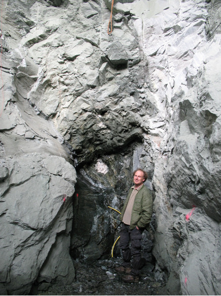


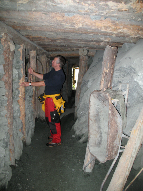


Knappenwand, Knappenwand area, Neukirchen am Großvenediger, Zell am See District, Salzburg, Austria