| Locality | Latitude | Longitude | Distance | Bearing |
|---|
| Aschau pegmatites, Birkfeld, Weiz District, Styria, Austria | 47° 20' 23" N | 15° 40' 24" E | 2.5km (1.6 miles) | |
| Koglhof pegmatites, Birkfeld, Weiz District, Styria, Austria | 47° 18' 57" N | 15° 41' 14" E | 4.2km (2.6 miles) | |
| Naintschgraben, Anger, Weiz District, Styria, Austria | 47° 18' 28" N | 15° 39' 31" E | 5.9km (3.7 miles) | |
| Köppelreith creek, Pöllau, Hartberg-Fürstenfeld District, Styria, Austria | 47° 19' 55" N | 15° 46' 31" E | 6.0km (3.7 miles) | |
| Rabenwald (Rabenwaldkogel), Anger, Weiz District, Styria, Austria | 47° 18' 5" N | 15° 44' 11" E | 6.2km (3.9 miles) | |
| Schloffereck, Miesenbach bei Birkfeld, Weiz District, Styria, Austria | 47° 21' 57" N | 15° 46' 53" E | 6.2km (3.9 miles) | |
| Peunt, Naintschgraben, Anger, Weiz District, Styria, Austria | 47° 17' 43" N | 15° 40' 45" E | 6.5km (4.1 miles) | |
| Pyrite mine, Peunt, Naintschgraben, Anger, Weiz District, Styria, Austria | 47° 17' 38" N | 15° 40' 11" E | 6.9km (4.3 miles) | |
| Christandl quarry, Peunt, Naintschgraben, Anger, Weiz District, Styria, Austria | 47° 17' 30" N | 15° 40' 33" E | 7.0km (4.3 miles) | |
| Silberloch Mine, Völlegg, Fischbach, Weiz District, Styria, Austria | 47° 25' 18" N | 15° 41' 30" E | 7.8km (4.8 miles) | |
| Elmleiten, Völlegg, Fischbach, Weiz District, Styria, Austria | 47° 24' 42" N | 15° 38' 35" E | 8.0km (5.0 miles) | |
| Talc mine, Rabenwald (Rabenwaldkogel), Anger, Weiz District, Styria, Austria | 47° 17' 12" N | 15° 45' 27" E | 8.4km (5.2 miles) | |
| Frauenkammer, Fischbach, Weiz District, Styria, Austria | 47° 25' 21" N | 15° 38' 47" E | 8.9km (5.5 miles) | |
| Frauenkammer - north of, Fischbach, Weiz District, Styria, Austria | 47° 25' 37" N | 15° 38' 54" E | 9.2km (5.7 miles) | |
| Faschingbauerkreuz - Reithkogel area (Gießhübler Berg; Gießhübler Holzschlag), Fischbach, Weiz District, Styria, Austria | 47° 26' 3" N | 15° 40' 22" E | 9.4km (5.8 miles) | |
| Rohrdorfer quarry (Kohlbacher quarry), Schindergraben, Falkenstein, Fischbach, Weiz District, Styria, Austria | 47° 26' 18" N | 15° 41' 13" E | 9.7km (6.0 miles) | |
| Granitzer, Weizbach valley, Weiz, Weiz District, Styria, Austria | 47° 19' 50" N | 15° 34' 35" E | 9.7km (6.1 miles) | |
| Kogl (Kogler), Sankt Kathrein am Offenegg, Weiz District, Styria, Austria | 47° 17' 21" N | 15° 36' 24" E | 10.0km (6.2 miles) | |
| Schindergraben, Falkenstein, Fischbach, Weiz District, Styria, Austria | 47° 26' 44" N | 15° 41' 9" E | 10.5km (6.5 miles) | |
| Ponigl, Thannhausen, Weiz District, Styria, Austria | 47° 16' 14" N | 15° 37' 53" E | 10.5km (6.5 miles) | |
| Plankogel (Antoni adit; Neu Barbara adit), Gasen, Weiz District, Styria, Austria | 47° 21' 39" N | 15° 33' 36" E | 10.7km (6.7 miles) | |
| Ponigl quarry (Wiedrich quarry), Poniglgraben, Ponigl, Thannhausen, Weiz District, Styria, Austria | 47° 15' 56" N | 15° 37' 51" E | 11.0km (6.8 miles) | |
| Quartzite quarry (Steinbruch Rohrdorfer; Tanzer quarry), Falkenstein, Fischbach, Weiz District, Styria, Austria | 47° 27' 15" N | 15° 40' 32" E | 11.5km (7.2 miles) | |
| Unnamed quarry, Falkenstein, Fischbach, Weiz District, Styria, Austria | 47° 27' 20" N | 15° 40' 3" E | 11.8km (7.3 miles) | |
| Falkenstein, Fischbach, Weiz District, Styria, Austria | 47° 27' 29" N | 15° 41' 26" E | 11.8km (7.4 miles) | |
| Pramerkogel, Straßegg (Straßeck), Gasen, Weiz District, Styria, Austria | 47° 23' 25" N | 15° 32' 30" E | 12.8km (7.9 miles) | |
| Straßegg (Straßeck), Gasen, Weiz District, Styria, Austria | 47° 23' 38" N | 15° 32' 20" E | 13.1km (8.2 miles) | |
| Stubenberg Quarry, Stubenberg am See, Hartberg-Fürstenfeld District, Styria, Austria | 47° 14' 41" N | 15° 47' 18" E | 13.6km (8.4 miles) | |
| Chromite outcrop, Straßegg (Straßeck), Gasen, Weiz District, Styria, Austria | 47° 23' 34" N | 15° 31' 53" E | 13.6km (8.5 miles) | |
| Marko quarry, Naas, Weiz District, Styria, Austria | 47° 15' 36" N | 15° 34' 50" E | 13.7km (8.5 miles) | |
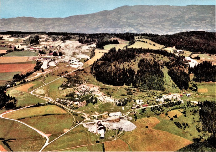

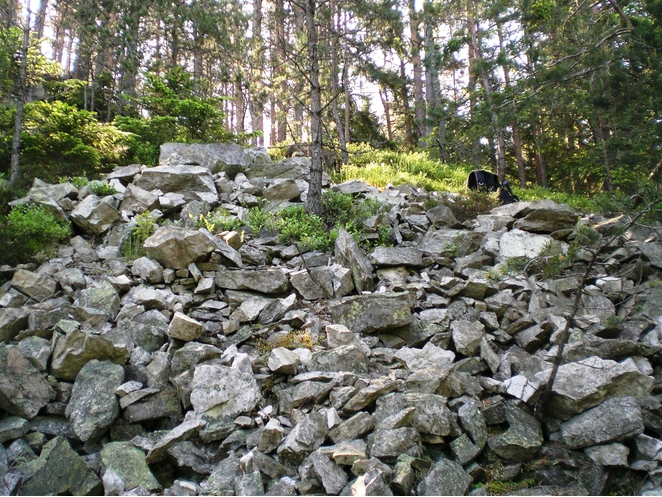


Talc mine, Rabenwald, Anger, Weiz District, Styria, Austria