| Locality | Latitude | Longitude | Distance | Bearing |
|---|
| Garrycam deposit (Keel Mine), Keel, Ballymahon, Longford County, Leinster, Ireland | 53° 38' 49" N | 7° 44' 12" W | 9.6km (6.0 miles) | |
| B.D. Flood Quarry, Carricknaveddan, Stradone, Cavan County, Ulster, Ireland | 53° 55' 51" N | 7° 13' 10" W | 44.3km (27.5 miles) | |
| Rock Hill Colliery, Roscommon County, Connacht, Ireland | 54° 4' 9" N | 8° 8' 33" W | 44.4km (27.6 miles) | |
| Aghacashel Colliery, Leitrim County, Connacht, Ireland | 54° 7' 6" N | 7° 55' 18" W | 44.4km (27.6 miles) | |
| Derranovogey Colliery, Roscommon County, Connacht, Ireland | 54° 4' 38" N | 8° 7' 12" W | 44.5km (27.6 miles) | |
| Bencroy Colliery, Leitrim County, Connacht, Ireland | 54° 7' 13" N | 7° 55' 3" W | 44.6km (27.7 miles) | |
| Christie's Colliery, Roscommon County, Connacht, Ireland | 54° 4' 58" N | 8° 7' 38" W | 45.2km (28.1 miles) | |
| McDermott Roe's Colliery, Roscommon County, Connacht, Ireland | 54° 5' 2" N | 8° 7' 44" W | 45.4km (28.2 miles) | |
| Rover Colliery, Roscommon County, Connacht, Ireland | 54° 5' 9" N | 8° 7' 56" W | 45.7km (28.4 miles) | |
| Aughabehy No.1 Colliery, Roscommon County, Connacht, Ireland | 54° 5' 18" N | 8° 8' 37" W | 46.3km (28.8 miles) | |
| Aughabehy No.2 Colliery, Roscommon County, Connacht, Ireland | 54° 5' 18" N | 8° 8' 37" W | 46.3km (28.8 miles) | |
| Aghabehy Colliery, Roscommon County, Connacht, Ireland | 54° 5' 18" N | 8° 8' 37" W | 46.3km (28.8 miles) | |
| Arigna Colliery, Roscommon County, Connacht, Ireland | 54° 5' 18" N | 8° 8' 37" W | 46.3km (28.8 miles) | |
| Greaghnageeragh Colliery, Roscommon County, Connacht, Ireland | 54° 4' 57" N | 8° 9' 56" W | 46.4km (28.9 miles) | |
| Seltanaveeny Colliery, Roscommon County, Connacht, Ireland | 54° 6' 28" N | 8° 6' 48" W | 47.3km (29.4 miles) | |
| Gubbarudda Colliery, Roscommon County, Connacht, Ireland | 54° 5' 30" N | 8° 10' 11" W | 47.5km (29.5 miles) | |
| Broderick & Ryan's Colliery, Sligo County, Connacht, Ireland | 54° 5' 22" N | 8° 10' 51" W | 47.6km (29.6 miles) | |
| Tullynaha Colliery, Roscommon County, Connacht, Ireland | 54° 6' 53" N | 8° 6' 54" W | 48.0km (29.8 miles) | |
| Seltanaskeagh Colliery, Manorhamilton, Leitrim County, Connacht, Ireland | 54° 7' 5" N | 8° 7' 7" W | 48.4km (30.1 miles) | |
| Knockateeane Colliery, Manorhamilton, Leitrim County, Connacht, Ireland | 54° 7' 17" N | 8° 7' 25" W | 48.9km (30.4 miles) | |
| Greaghnaglogh Colliery, Roscommon County, Connacht, Ireland | 54° 7' 2" N | 8° 8' 30" W | 49.1km (30.5 miles) | |
| Tullymorrow Top Seam Colliery, Manorhamilton, Leitrim County, Connacht, Ireland | 54° 7' 16" N | 8° 8' 4" W | 49.2km (30.6 miles) | |
| Lynn's Colliery, Sligo County, Connacht, Ireland | 54° 6' 13" N | 8° 11' 17" W | 49.2km (30.6 miles) | |
| Tullymorrow Colliery, Manorhamilton, Leitrim County, Connacht, Ireland | 54° 7' 18" N | 8° 7' 58" W | 49.2km (30.6 miles) | |
| Tullymurry Colliery, Manorhamilton, Leitrim County, Connacht, Ireland | 54° 7' 27" N | 8° 8' 3" W | 49.5km (30.8 miles) | |
| Spion Kop Colliery, Manorhamilton, Leitrim County, Connacht, Ireland | 54° 7' 33" N | 8° 8' 35" W | 49.9km (31.0 miles) | |
| Tullycorka Colliery, Manorhamilton, Leitrim County, Connacht, Ireland | 54° 7' 46" N | 8° 7' 51" W | 50.0km (31.0 miles) | |
| Lugmore Colliery, Manorhamilton, Leitrim County, Connacht, Ireland | 54° 7' 46" N | 8° 7' 51" W | 50.0km (31.0 miles) | |
| Geevagh b Colliery, Sligo County, Connacht, Ireland | 54° 6' 34" N | 8° 11' 51" W | 50.1km (31.1 miles) | |
| McTierman's Colliery, Sligo County, Connacht, Ireland | 54° 6' 32" N | 8° 12' 10" W | 50.2km (31.2 miles) | |


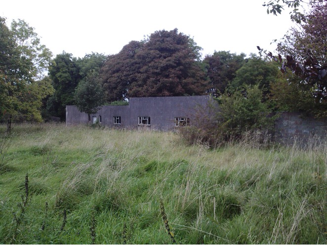


Garrycam deposit, Keel, Ballymahon, Longford County, Leinster, Ireland