| Locality | Latitude | Longitude | Distance | Bearing |
|---|
| Kellymount quarry, Paulstown, Kilkenny County, Leinster, Ireland | 52° 41' 24" N | 7° 2' 52" W | 5.9km (3.7 miles) | |
| Seskinnamadra, Carlow County, Leinster, Ireland | 52° 38' 5" N | 6° 50' 7" W | 11.2km (7.0 miles) | |
| Rossmore Old Colliery, Laois County, Leinster, Ireland | 52° 48' 39" N | 7° 1' 7" W | 12.9km (8.0 miles) | |
| Bilboa Colliery, Carlow County, Leinster, Ireland | 52° 48' 24" N | 7° 2' 20" W | 12.9km (8.0 miles) | |
| Rossmore New Colliery, Laois County, Leinster, Ireland | 52° 49' 9" N | 7° 0' 36" W | 13.6km (8.5 miles) | |
| Aclare, Carlow County, Leinster, Ireland | 52° 41' 7" N | 6° 44' 57" W | 14.4km (9.0 miles) | |
| Monteen Colliery, Kilkenny County, Leinster, Ireland | 52° 49' 28" N | 7° 7' 18" W | 17.5km (10.9 miles) | |
| Kilgory Opencast, Laois County, Leinster, Ireland | 52° 49' 52" N | 7° 6' 34" W | 17.6km (11.0 miles) | |
| Kilgory Colliery, Laois County, Leinster, Ireland | 52° 49' 57" N | 7° 6' 30" W | 17.7km (11.0 miles) | |
| Rock Colliery, Kilkenny County, Leinster, Ireland | 52° 48' 44" N | 7° 9' 45" W | 18.4km (11.4 miles) | |
| Towlerton Colliery, Laois County, Leinster, Ireland | 52° 51' 24" N | 7° 3' 57" W | 18.8km (11.7 miles) | |
| Sally's Bridge Colliery, Laois County, Leinster, Ireland | 52° 51' 16" N | 7° 5' 38" W | 19.3km (12.0 miles) | |
| Cloneen & Moneenroe Nos 3 & 5 Colliery, Kilkenny County, Leinster, Ireland | 52° 50' 37" N | 7° 8' 36" W | 20.1km (12.5 miles) | |
| Coneen Colliery, Kilkenny County, Leinster, Ireland | 52° 50' 37" N | 7° 8' 36" W | 20.1km (12.5 miles) | |
| Cloncen Colliery, Kilkenny County, Leinster, Ireland | 52° 50' 37" N | 7° 8' 36" W | 20.1km (12.5 miles) | |
| Jarrow No.7 Colliery, Kilkenny County, Leinster, Ireland | 52° 49' 38" N | 7° 10' 38" W | 20.2km (12.6 miles) | |
| Jarrow No.6 Colliery, Kilkenny County, Leinster, Ireland | 52° 49' 48" N | 7° 10' 41" W | 20.5km (12.7 miles) | |
| Geneva Colliery, Laois County, Leinster, Ireland | 52° 51' 3" N | 7° 8' 21" W | 20.6km (12.8 miles) | |
| Twenty-eight Acres Opencast, Kilkenny County, Leinster, Ireland | 52° 49' 12" N | 7° 11' 48" W | 20.7km (12.8 miles) | |
| Kilkenny, Kilkenny County, Leinster, Ireland | 52° 38' 51" N | 7° 15' 20" W | 20.7km (12.8 miles) | |
| Holly Park Colliery, Laois County, Leinster, Ireland | 52° 52' 14" N | 7° 5' 56" W | 21.1km (13.1 miles) | |
| Castlecomer Colliery, Kilkenny County, Leinster, Ireland | 52° 49' 25" N | 7° 12' 28" W | 21.5km (13.4 miles) | |
| Deerpark Colliery, Kilkenny County, Leinster, Ireland | 52° 49' 41" N | 7° 12' 30" W | 21.9km (13.6 miles) | |
| Clogh Opencast, Kilkenny County, Leinster, Ireland | 52° 51' 53" N | 7° 9' 26" W | 22.5km (14.0 miles) | |
| Thomastown (Grennan), Kilkenny County, Leinster, Ireland | 52° 31' 36" N | 7° 8' 13" W | 22.7km (14.1 miles) | |
| Clogh Colliery, Kilkenny County, Leinster, Ireland | 52° 51' 57" N | 7° 9' 50" W | 22.9km (14.2 miles) | |
| Moylisha, Shillelagh, Wicklow County, Leinster, Ireland | 52° 44' 42" N | 6° 37' 37" W | 23.1km (14.3 miles) | |
| Skehana Colliery, Kilkenny County, Leinster, Ireland | 52° 50' 12" N | 7° 13' 56" W | 23.7km (14.7 miles) | |
| Ballylehane Colliery, Laois County, Leinster, Ireland | 52° 53' 40" N | 7° 7' 9" W | 24.1km (15.0 miles) | |
| Fleming's Colliery, Laois County, Leinster, Ireland | 52° 53' 41" N | 7° 7' 12" W | 24.1km (15.0 miles) | |
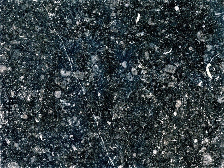


Kellymount quarry, Paulstown, Kilkenny County, Leinster, Ireland