| Locality | Latitude | Longitude | Distance | Bearing |
|---|
| Louka u Litvínova, Mariánské Radčice, Most District, Ústí nad Labem Region, Czech Republic | 50° 35' 30" N | 13° 38' 5" E | 1.6km (1.0 miles) | |
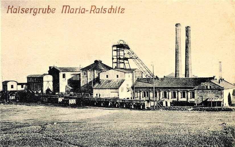
| Mariánské Radčice, Most District, Ústí nad Labem Region, Czech Republic | 50° 34' 34" N | 13° 40' 19" E | 2.2km (1.3 miles) | |
| Alexander coal mine, Osek, Teplice District, Ústí nad Labem Region, Czech Republic | 50° 36' 7" N | 13° 41' 18" E | 2.4km (1.5 miles) | |
| Loučná, Lom, Most District, Ústí nad Labem Region, Czech Republic | 50° 36' 54" N | 13° 39' 27" E | 2.4km (1.5 miles) | |
| Alexander mine dump, Alexander coal mine, Osek, Teplice District, Ústí nad Labem Region, Czech Republic | 50° 35' 50" N | 13° 41' 58" E | 3.0km (1.9 miles) | |
| Důl Nelson III, Osek, Teplice District, Ústí nad Labem Region, Czech Republic | 50° 36' 40" N | 13° 42' 6" E | 3.7km (2.3 miles) | |
| Nelson III mine memorial, Osek, Teplice District, Ústí nad Labem Region, Czech Republic | 50° 37' 24" N | 13° 40' 58" E | 3.8km (2.4 miles) | |
| Záluží, Litvínov, Most District, Ústí nad Labem Region, Czech Republic | 50° 34' 9" N | 13° 35' 58" E | 4.9km (3.0 miles) | |
| Kopisty, Most, Most District, Ústí nad Labem Region, Czech Republic | 50° 32' 51" N | 13° 37' 42" E | 5.5km (3.4 miles) | |
| Victorin coal mine, Duchcov, Teplice District, Ústí nad Labem Region, Czech Republic | 50° 37' 6" N | 13° 43' 33" E | 5.6km (3.5 miles) | |
| Bílina coal mine, Bílina, Teplice District, Ústí nad Labem Region, Czech Republic | 50° 34' 2" N | 13° 43' 43" E | 5.8km (3.6 miles) | |
| Gisela coal mine, Duchcov, Teplice District, Ústí nad Labem Region, Czech Republic | 50° 37' 23" N | 13° 43' 51" E | 6.2km (3.8 miles) | |
| Horní Jiřetín, Most District, Ústí nad Labem Region, Czech Republic | 50° 33' 22" N | 13° 34' 26" E | 7.2km (4.5 miles) | |
| Bentonite deposit Braňany II - Černý vrch, Braňany, Most District, Ústí nad Labem Region, Czech Republic | 50° 31' 47" N | 13° 41' 44" E | 7.6km (4.7 miles) | |
| Matylda, Souš, Most, Most District, Ústí nad Labem Region, Czech Republic | 50° 31' 37" N | 13° 36' 32" E | 8.1km (5.0 miles) | |
| Lom Heřman, Zabrušany, Teplice District, Ústí nad Labem Region, Czech Republic | 50° 36' 15" N | 13° 46' 58" E | 8.9km (5.6 miles) | |
| Döllinger mine, Lahošť, Teplice District, Ústí nad Labem Region, Czech Republic | 50° 37' 41" N | 13° 46' 36" E | 9.3km (5.8 miles) | |
| Komořany u Mostu, Most, Most District, Ústí nad Labem Region, Czech Republic | 50° 31' 39" N | 13° 34' 14" E | 9.5km (5.9 miles) | |
| Želenický hill, Želenice, Most District, Ústí nad Labem Region, Czech Republic | 50° 31' 14" N | 13° 43' 52" E | 9.6km (6.0 miles) | |
| Třebušice, Most, Most District, Ústí nad Labem Region, Czech Republic | 50° 31' 14" N | 13° 34' 57" E | 9.6km (6.0 miles) | |
| Všechlapy quarry, Všechlapy, Zabrušany, Teplice District, Ústí nad Labem Region, Czech Republic | 50° 37' 8" N | 13° 47' 55" E | 10.4km (6.4 miles) | |
| Coal mine, Jezeří, Horní Jiřetín, Most District, Ústí nad Labem Region, Czech Republic | 50° 33' 15" N | 13° 31' 5" E | 10.7km (6.7 miles) | |
| Ervěnice, Most District, Ústí nad Labem Region, Czech Republic | 50° 31' 29" N | 13° 32' 15" E | 11.4km (7.1 miles) | |
| Lehnschafter mine, Mikulov, Teplice District, Ústí nad Labem Region, Czech Republic | 50° 41' 26" N | 13° 43' 17" E | 11.8km (7.3 miles) | |
| Čepirohy, Most, Most District, Ústí nad Labem Region, Czech Republic | 50° 29' 16" N | 13° 37' 8" E | 12.0km (7.5 miles) | |
| Důl Moravia, Opal occurrence, Lužice, Most District, Ústí nad Labem Region, Czech Republic | 50° 29' 35" N | 13° 44' 52" E | 12.8km (8.0 miles) | |
| Opal occurrence, Opal occurrence, Lužice, Most District, Ústí nad Labem Region, Czech Republic | 50° 29' 15" N | 13° 44' 7" E | 13.0km (8.1 miles) | |
| Letná Hill, Teplice, Teplice District, Ústí nad Labem Region, Czech Republic | 50° 38' 15" N | 13° 49' 49" E | 13.2km (8.2 miles) | |
| Korozluky magmatic rock occurrence (Kolosoruk magmatic rock occurrence; Kolloseruk magmatic rock occurrence), Korozluky, Most District, Ústí nad Labem Region, Czech Republic | 50° 28' 57" N | 13° 43' 28" E | 13.2km (8.2 miles) | |
| Dolánky, Ohníč, Teplice District, Ústí nad Labem Region, Czech Republic | 50° 35' 35" N | 13° 51' 6" E | 13.7km (8.5 miles) | |


Mariánské Radčice, Most District, Ústí nad Labem Region, Czech Republic