| Locality | Latitude | Longitude | Distance | Bearing |
|---|
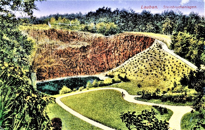
| Alum shales and phosphorite deposit, Lubań, Lubań County, Lower Silesian Voivodeship, Poland | 51° 6' 52" N | 15° 17' 33" E | 0.7km (0.4 miles) | |
| Kamienna Góra, Lubań, Lubań County, Lower Silesian Voivodeship, Poland | 51° 6' 44" N | 15° 17' 1" E | 0.9km (0.6 miles) | |
| Harcerska Górka quarry, Lubań, Lubań County, Lower Silesian Voivodeship, Poland | 51° 6' 56" N | 15° 18' 35" E | 1.6km (1.0 miles) | |
| Krzyżowa Góra quarry, Lubań, Lubań County, Lower Silesian Voivodeship, Poland | 51° 7' 9" N | 15° 18' 49" E | 1.8km (1.1 miles) | |
| Metarhyolite quarry, Radogoszcz, Gmina Lubań, Lubań County, Lower Silesian Voivodeship, Poland | 51° 8' 18" N | 15° 17' 15" E | 2.0km (1.3 miles) | |
| Księginki quarry, Lubań, Lubań County, Lower Silesian Voivodeship, Poland | 51° 6' 2" N | 15° 16' 5" E | 2.6km (1.6 miles) | |
| Zaręba quarry, Gmina Siekierczyn, Lubań County, Lower Silesian Voivodeship, Poland | 51° 6' 17" N | 15° 15' 34" E | 2.6km (1.6 miles) | |
| Ostróżek quarry, Uniegoszcz, Gmina Lubań, Lubań County, Lower Silesian Voivodeship, Poland | 51° 6' 20" N | 15° 19' 9" E | 2.7km (1.7 miles) | |
| Jałowiec quarry, Jałowiec, Gmina Lubań, Lubań County, Lower Silesian Voivodeship, Poland | 51° 5' 22" N | 15° 19' 29" E | 4.3km (2.7 miles) | |
| Lignite mines, Zaręba, Gmina Siekierczyn, Lubań County, Lower Silesian Voivodeship, Poland | 51° 5' 57" N | 15° 13' 18" E | 5.2km (3.2 miles) | |
| Bukowa Góra quarry, Gmina Platerówka, Lubań County, Lower Silesian Voivodeship, Poland | 51° 4' 33" N | 15° 14' 56" E | 5.6km (3.5 miles) | |
| Łomy quarry, Gmina Platerówka, Lubań County, Lower Silesian Voivodeship, Poland | 51° 4' 36" N | 15° 12' 47" E | 7.1km (4.4 miles) | |
| Lubański Wielki Las quarry No 3, Gmina Platerówka, Lubań County, Lower Silesian Voivodeship, Poland | 51° 4' 19" N | 15° 12' 53" E | 7.4km (4.6 miles) | |
| Steinberg quarry, Gmina Platerówka, Lubań County, Lower Silesian Voivodeship, Poland | 51° 4' 17" N | 15° 12' 36" E | 7.6km (4.7 miles) | |
| Łomna hill, Gmina Platerówka, Lubań County, Lower Silesian Voivodeship, Poland | 51° 3' 57" N | 15° 12' 59" E | 7.8km (4.8 miles) | |
| Bożkowice, Gmina Olszyna, Lubań County, Lower Silesian Voivodeship, Poland | 51° 2' 17" N | 15° 18' 57" E | 9.3km (5.8 miles) | |
| Ostra (Czubatka), Gmina Platerówka, Lubań County, Lower Silesian Voivodeship, Poland | 51° 4' 23" N | 15° 10' 19" E | 9.6km (6.0 miles) | |
| Brusznik stream alluvials, Leśna, Gmina Leśna, Lubań County, Lower Silesian Voivodeship, Poland | 51° 0' 49" N | 15° 16' 42" E | 11.8km (7.4 miles) | |
| Stożek Perkuna, Gmina Leśna, Lubań County, Lower Silesian Voivodeship, Poland | 51° 1' 2" N | 15° 14' 0" E | 12.0km (7.5 miles) | |
| Grabiszyce Quarry, Grabiszyce Średnie, Gmina Leśna, Lubań County, Lower Silesian Voivodeship, Poland | 51° 1' 6" N | 15° 13' 35" E | 12.1km (7.5 miles) | |
| Gradów, Gradówek, Gmina Lwówek Śląski, Lwówek Śląski County, Lower Silesian Voivodeship, Poland | 51° 5' 54" N | 15° 28' 1" E | 12.7km (7.9 miles) | |
| Gronowskie Wzgórza quarry, Gronów, Gmina Zgorzelec, Zgorzelec County, Lower Silesian Voivodeship, Poland | 51° 10' 27" N | 15° 7' 34" E | 12.8km (7.9 miles) | |
| Zgorzelec-Lubań Area, Gmina Platerówka, Lubań County, Lower Silesian Voivodeship, Poland | 51° 1' 27" N | 15° 10' 25" E | 13.3km (8.3 miles) | |
| Wieża basalt quarry, Gmina Gryfów Śląski, Lwówek Śląski County, Lower Silesian Voivodeship, Poland | 51° 1' 4" N | 15° 23' 18" E | 13.4km (8.3 miles) | |
| Grodziszcze Mtn., Grabiszyce Średnie, Gmina Leśna, Lubań County, Lower Silesian Voivodeship, Poland | 51° 1' 12" N | 15° 10' 33" E | 13.6km (8.4 miles) | |
| Słupiec (Wojkowa), Augustów, Giebułtów, Gmina Mirsk, Lwówek Śląski County, Lower Silesian Voivodeship, Poland | 50° 59' 43" N | 15° 19' 57" E | 14.2km (8.8 miles) | |
| Nowy Ląd Mine, Niwnice, Gmina Lwówek Śląski, Lwówek Śląski County, Lower Silesian Voivodeship, Poland | 51° 7' 52" N | 15° 29' 32" E | 14.3km (8.9 miles) | |
| Mount Wojkowa, Giebułtów, Gmina Mirsk, Lwówek Śląski County, Lower Silesian Voivodeship, Poland | 50° 59' 24" N | 15° 18' 59" E | 14.6km (9.1 miles) | |
| Góra Heleny - Pirszyn, Gradówek, Gmina Lwówek Śląski, Lwówek Śląski County, Lower Silesian Voivodeship, Poland | 51° 5' 18" N | 15° 29' 27" E | 14.6km (9.1 miles) | |
| Gronów IG-1 borehole, Gronów, Gmina Zgorzelec, Zgorzelec County, Lower Silesian Voivodeship, Poland | 51° 11' 48" N | 15° 7' 2" E | 14.6km (9.1 miles) | |


Łomna hill, Gmina Platerówka, Lubań County, Lower Silesian Voivodeship, Poland