| Locality | Latitude | Longitude | Distance | Bearing |
|---|
| Jesenice meteorite, Jesenice, Slovenia | 46° 25' 17" N | 14° 3' 7" E | 1.6km (1.0 miles) | |
| Sava Caves, Jesenice, Slovenia | 46° 26' 13" N | 14° 2' 55" E | 2.8km (1.7 miles) | |
| Krma valley, Slovenia | 46° 23' 45" N | 13° 54' 42" E | 9.7km (6.0 miles) | |
| Mojstrana, Kranjska Gora, Slovenia | 46° 27' 57" N | 13° 56' 0" E | 9.7km (6.1 miles) | |
| Bärental, Feistritz im Rosental, Klagenfurt-Land District, Carinthia, Austria | 46° 28' 36" N | 14° 9' 44" E | 12.0km (7.5 miles) | |
| Krischnig Mine, Windisch-Bleiberg, Ferlach, Klagenfurt-Land District, Carinthia, Austria | 46° 28' 47" N | 14° 11' 38" E | 14.2km (8.8 miles) | |
| Rupertiberg, Ludmannsdorf, Klagenfurt-Land District, Carinthia, Austria | 46° 33' 28" N | 14° 6' 0" E | 16.8km (10.4 miles) | |
| Mallestiger Mittagskogel, Finkenstein am Faaker See, Villach-Land District, Carinthia, Austria | 46° 31' 21" N | 13° 52' 55" E | 16.9km (10.5 miles) | |
| Windisch-Bleiberg, Ferlach, Klagenfurt-Land District, Carinthia, Austria | 46° 29' 25" N | 14° 14' 21" E | 17.8km (11.1 miles) | |
| Šentanski rudnik (St. Anna Mine), Podljubelj (Unterloibl), Tržič, Slovenia | 46° 24' 42" N | 14° 16' 5" E | 17.8km (11.1 miles) | |
| Loibl Pass, Ferlach, Klagenfurt-Land District, Carinthia, Austria | 46° 26' 21" N | 14° 16' 0" E | 18.0km (11.2 miles) | |
| Latschach, Mallestiger Mittagskogel, Finkenstein am Faaker See, Villach-Land District, Carinthia, Austria | 46° 33' 25" N | 13° 55' 37" E | 18.0km (11.2 miles) | |
| St Egyden, Velden am Wörther See, Villach-Land District, Carinthia, Austria | 46° 34' 33" N | 14° 3' 52" E | 18.2km (11.3 miles) | |
| St. Kathrein quarry, Schiefling am See, Klagenfurt-Land District, Carinthia, Austria | 46° 35' 4" N | 14° 4' 3" E | 19.2km (11.9 miles) | |
| Petschnitzen, Faak lake area, Villach, Carinthia, Austria | 46° 34' 43" N | 13° 56' 57" E | 19.5km (12.1 miles) | |
| Penken, Schiefling am See, Klagenfurt-Land District, Carinthia, Austria | 46° 35' 3" N | 14° 6' 26" E | 19.8km (12.3 miles) | |
| Rudnik, Petschnitzen, Faak lake area, Villach, Carinthia, Austria | 46° 35' 10" N | 13° 57' 36" E | 20.0km (12.5 miles) | |
| Plescherken mines, Keutschach am See, Klagenfurt-Land District, Carinthia, Austria | 46° 35' 1" N | 14° 8' 34" E | 20.6km (12.8 miles) | |
| Kappel an der Drau, Ferlach, Klagenfurt-Land District, Carinthia, Austria | 46° 32' 5" N | 14° 14' 49" E | 21.1km (13.1 miles) | |
| Mittewald, Villach, Carinthia, Austria | 46° 35' 27" N | 13° 53' 38" E | 22.5km (14.0 miles) | |
| Keutschach, Keutschach am See, Klagenfurt-Land District, Carinthia, Austria | 46° 35' 35" N | 14° 11' 14" E | 23.1km (14.4 miles) | |
| Ulrich Valley, Korpitsch, Finkenstein am Faaker See, Villach-Land District, Carinthia, Austria | 46° 32' 47" N | 13° 48' 11" E | 23.1km (14.4 miles) | |
| Samonig farm, Mallestiger Mittagskogel, Finkenstein am Faaker See, Villach-Land District, Carinthia, Austria | 46° 33' 31" N | 13° 48' 5" E | 24.1km (15.0 miles) | |
| Selca valley, Železniki, Slovenia | 46° 13' 26" N | 14° 12' 11" E | 24.7km (15.4 miles) | |
| Zauchen, Villach, Carinthia, Austria | 46° 37' 17" N | 13° 54' 30" E | 25.1km (15.6 miles) | |
| Waidisch, Ferlach, Klagenfurt-Land District, Carinthia, Austria | 46° 29' 57" N | 14° 20' 43" E | 25.6km (15.9 miles) | |
| Osojnik, Blegoš, Gorenja Vas–Poljane, Slovenia | 46° 10' 50" N | 14° 6' 32" E | 26.5km (16.5 miles) | |
| Umberg, Wernberg, Villach-Land District, Carinthia, Austria | 46° 38' 30" N | 13° 55' 43" E | 26.6km (16.6 miles) | |
| Schütt, Villach, Villach-Land District, Carinthia, Austria | 46° 34' 17" N | 13° 46' 19" E | 26.7km (16.6 miles) | |
| Kalterbach valley, Zell, Klagenfurt-Land District, Carinthia, Austria | 46° 27' 51" N | 14° 22' 54" E | 27.1km (16.9 miles) | |
Minerals recorded nearby (within 20 km)
Rock types recorded nearby (within 20 km)
Entries shown in red are rocks recorded for this region.
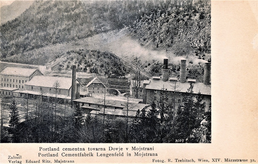


Mojstrana, Kranjska Gora, Slovenia