| Locality | Latitude | Longitude | Distance | Bearing |
|---|
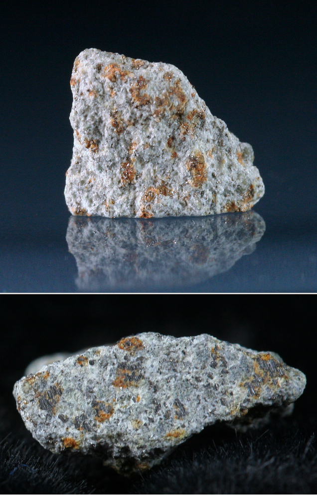
| Fayetteville, Washington County, Arkansas, USA | 36° 3' 42" N | 94° 9' 39" W | 0.3km (0.2 miles) | |
| Fayetteville meteorite, Fayetteville, Washington County, Arkansas, USA | 36° 2' 59" N | 94° 10' 0" W | 1.6km (1.0 miles) | |
| Fayetteville Bowling Alley (Ozark Bowling Lanes), Fayetteville, Washington County, Arkansas, USA | 36° 5' 34" N | 94° 9' 8" W | 3.4km (2.1 miles) | |
| Farmington (Engels Mills), Washington County, Arkansas, USA | 36° 2' 31" N | 94° 14' 49" W | 8.4km (5.2 miles) | |
| Rhea (Rhea Mill; Rheas Mills; Rhea's mill), Washington County, Arkansas, USA | 36° 0' 51" N | 94° 24' 10" W | 22.7km (14.1 miles) | |
| Rogers, Benton County, Arkansas, USA | 36° 19' 55" N | 94° 7' 6" W | 30.2km (18.7 miles) | |
| Rogers Quarry, Rogers, Benton County, Arkansas, USA | 36° 19' 59" N | 94° 7' 0" W | 30.3km (18.8 miles) | |
| Page Mine, Benton County, Arkansas, USA | 36° 20' 36" N | 94° 3' 50" W | 32.3km (20.1 miles) | |
| Delaney, Madison County, Arkansas, USA | 35° 51' 8" N | 93° 54' 0" W | 32.9km (20.4 miles) | |
| Eureka Springs, Carroll County, Arkansas, USA | 36° 24' 4" N | 93° 44' 16" W | 53.2km (33.1 miles) | |
| Woodruff Farm, Delaware County, Oklahoma, USA | 36° 15' 0" N | 94° 43' 57" W | 55.7km (34.6 miles) | |
| Berryville, Carroll County, Arkansas, USA | 36° 21' 53" N | 93° 34' 4" W | 62.7km (38.9 miles) | |
| Berryville Pyrite deposit, Berryville, Carroll County, Arkansas, USA | 36° 21' 53" N | 93° 34' 4" W | 62.7km (38.9 miles) | |
| Fancher Tract, Carroll County, Arkansas, USA | 36° 16' 18" N | 93° 30' 4" W | 63.3km (39.3 miles) | |
| Crystal Mountain (Brawley deposit), Carroll County, Arkansas, USA | 36° 17' 21" N | 93° 29' 50" W | 64.4km (40.0 miles) | |
| Newman deposit, Berryville, Carroll County, Arkansas, USA | 36° 25' 2" N | 93° 35' 16" W | 64.5km (40.1 miles) | |
| Carroll County Stone quarry, Carroll County, Arkansas, USA | 36° 20' 57" N | 93° 31' 44" W | 64.8km (40.2 miles) | |
| Peck Mine, Newton County, Arkansas, USA | 35° 57' 36" N | 93° 26' 25" W | 65.5km (40.7 miles) | |
| Hittson Prospect, Carroll County, Arkansas, USA | 36° 17' 23" N | 93° 28' 44" W | 65.9km (41.0 miles) | |
| Cave Mountain Cave, Newton County, Arkansas, USA | 35° 57' 22" N | 93° 24' 28" W | 68.4km (42.5 miles) | |
| Eagles Bluff, Cherokee County, Oklahoma, USA | 36° 1' 52" N | 94° 55' 9" W | 68.6km (42.6 miles) | |
| Cross Prospect, Newton County, Arkansas, USA | 36° 3' 40" N | 93° 23' 31" W | 68.8km (42.7 miles) | |
| Bunch, Adair County, Oklahoma, USA | 35° 40' 57" N | 94° 45' 39" W | 68.9km (42.8 miles) | |
| Charley Ryals Chert Pit, Cherokee County, Oklahoma, USA | 35° 55' 26" N | 94° 54' 31" W | 69.3km (43.1 miles) | |
| Bennett Mine, Ponca, Ponca-Boxley Mining District, Newton County, Arkansas, USA | 36° 0' 25" N | 93° 23' 14" W | 69.5km (43.2 miles) | |
| Leach, Delaware County, Oklahoma, USA | 36° 12' 17" N | 94° 55' 20" W | 70.5km (43.8 miles) | |
| Ponca City Mine, Ponca, Ponca-Boxley Mining District, Newton County, Arkansas, USA | 36° 1' 24" N | 93° 22' 18" W | 70.8km (44.0 miles) | |
| Idaho Mine, Ponca, Ponca-Boxley Mining District, Newton County, Arkansas, USA | 36° 1' 28" N | 93° 22' 14" W | 70.9km (44.0 miles) | |
| Ponca, Ponca-Boxley Mining District, Newton County, Arkansas, USA | 36° 1' 0" N | 93° 22' 0" W | 71.3km (44.3 miles) | |
| Brewer Mine, Ponca, Ponca-Boxley Mining District, Newton County, Arkansas, USA | 36° 2' 39" N | 93° 21' 51" W | 71.3km (44.3 miles) | |
Minerals recorded nearby (within 20 km)
Rock types recorded nearby (within 20 km)
Entries shown in red are rocks recorded for this region.


Fayetteville Bowling Alley, Fayetteville, Washington County, Arkansas, USA