| Locality | Latitude | Longitude | Distance | Bearing |
|---|
| Young Harris, Towns County, Georgia, USA | 34° 55' 59" N | 83° 50' 49" W | 0.0km (0.0 miles) | |
| Malden Prospect (Kerby Prospects), Towns County, Georgia, USA | 34° 57' 0" N | 83° 51' 14" W | 2.0km (1.2 miles) | |
| Brasstown Creek, Young Harris, Towns County, Georgia, USA | 34° 57' 45" N | 83° 51' 39" W | 3.5km (2.2 miles) | |
| McConell Estate, Hiawassee, Towns County, Georgia, USA | 34° 57' 33" N | 83° 47' 41" W | 5.6km (3.5 miles) | |
| Murdock Vein Mine (Welsh Post Office; Struby; E. R. Brown Mines), Towns County, Georgia, USA | 34° 58' 19" N | 83° 53' 9" W | 5.6km (3.5 miles) | |
| Stone Corundum Mine, Trackrock Gap, Union County, Georgia, USA | 34° 53' 3" N | 83° 52' 31" W | 6.0km (3.7 miles) | |
| Trackrock Gap, Union County, Georgia, USA | 34° 53' 0" N | 83° 52' 37" W | 6.2km (3.8 miles) | |
| Brasstown Church, Towns County, Georgia, USA | 34° 58' 52" N | 83° 53' 5" W | 6.4km (4.0 miles) | |
| Hunter Knob, Towns County, Georgia, USA | 34° 58' 3" N | 83° 54' 19" W | 6.6km (4.1 miles) | |
| Chatuge Lake, Towns County, Georgia, USA | 34° 58' 40" N | 83° 48' 0" W | 6.6km (4.1 miles) | |
| Killian Mine (Ross; Killian & Rhodes; Lot 184 Mines), Union County, Georgia, USA | 34° 54' 20" N | 83° 54' 59" W | 7.0km (4.4 miles) | |
| Davy Mountain, Towns County, Georgia, USA | 34° 59' 58" N | 83° 51' 32" W | 7.5km (4.6 miles) | |
| Trackrock Mine, Trackrock Gap, Union County, Georgia, USA | 34° 52' 51" N | 83° 54' 39" W | 8.2km (5.1 miles) | |
| Hiawassee, Towns County, Georgia, USA | 34° 56' 52" N | 83° 45' 25" W | 8.4km (5.2 miles) | |
| Chastian Placer Mine, Towns County, Georgia, USA | 34° 58' 56" N | 83° 55' 1" W | 8.4km (5.2 miles) | |
| M. Kinsey Mine (Horse Vein; Old Field; N. Brown; Pittsburg; Brown; Wellborn Hill; Hunt Mines), Towns County, Georgia, USA | 34° 59' 0" N | 83° 55' 9" W | 8.6km (5.4 miles) | |
| Johnson copper prospect (Berrong prospect), Hiawassee, Towns County, Georgia, USA | 34° 56' 30" N | 83° 44' 59" W | 8.9km (5.5 miles) | |
| Horse Vein, Towns County, Georgia, USA | 34° 58' 51" N | 83° 55' 33" W | 8.9km (5.5 miles) | |
| Bumgarner Prospect, Clay County, North Carolina, USA | 35° 1' 6" N | 83° 50' 7" W | 9.5km (5.9 miles) | |
| Wellborn Hill Mine, Towns County, Georgia, USA | 34° 58' 50" N | 83° 56' 4" W | 9.6km (5.9 miles) | |
| Gumlog Mountain, Union County, Georgia, USA | 34° 57' 0" N | 83° 57' 36" W | 10.5km (6.5 miles) | |
| Gum Log (J. H. Brown; Brown Placer Mines), Union County, Georgia, USA | 34° 57' 45" N | 83° 57' 30" W | 10.6km (6.6 miles) | |
| Cynth Creek Quarry, Towns County, Georgia, USA | 34° 55' 44" N | 83° 43' 46" W | 10.7km (6.7 miles) | |
| Bell Mountain Silica Mine, Towns County, Georgia, USA | 34° 57' 34" N | 83° 43' 46" W | 11.1km (6.9 miles) | |
| Butt Mine (Legal Tender Mines), Union County, Georgia, USA | 34° 52' 30" N | 83° 56' 59" W | 11.4km (7.1 miles) | |
| Hogg Creek Mine, Hiawassee, Towns County, Georgia, USA | 35° 0' 0" N | 83° 45' 0" W | 11.6km (7.2 miles) | |
| Warne-Sylva Kyanite Belt Occurrence, Warne - Sylva Belt, Clay County, North Carolina, USA | 35° 0' 0" N | 83° 56' 59" W | 12.0km (7.4 miles) | |
| Blairsville, Union County, Georgia, USA | 34° 52' 33" N | 83° 57' 30" W | 12.0km (7.4 miles) | |
| Wellborn Mountain Quarry, Union County, Georgia, USA | 34° 51' 59" N | 83° 57' 13" W | 12.2km (7.6 miles) | |
| Elf, Clay County, North Carolina, USA | 35° 1' 17" N | 83° 44' 53" W | 13.3km (8.3 miles) | |
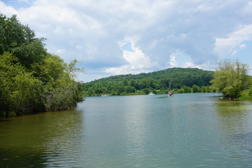


Chatuge Lake, Towns County, Georgia, USA