| Locality | Latitude | Longitude | Distance | Bearing |
|---|
| SR 56, Canton, Washington County, Indiana, USA | 38° 39' 9" N | 85° 59' 23" W | 7.7km (4.8 miles) | |
| Salem East Quarry (Edward Kraemer and Sons; Inc.), Salem, Washington County, Indiana, USA | 38° 38' 49" N | 85° 58' 54" W | 7.8km (4.9 miles) | |
| Canton, Washington County, Indiana, USA | 38° 37' 26" N | 86° 2' 4" W | 12.6km (7.8 miles) | |
| Plattsburg, Washington County, Indiana, USA | 38° 43' 11" N | 86° 5' 23" W | 13.0km (8.1 miles) | |
| Harristown, Washington County, Indiana, USA | 38° 35' 52" N | 86° 1' 26" W | 14.4km (9.0 miles) | |
| Monon Railroad cut, Harristown, Washington County, Indiana, USA | 38° 35' 39" N | 86° 1' 26" W | 14.8km (9.2 miles) | |
| Fluorite Occurrence Number 1, Scott County, Indiana, USA | 38° 34' 45" N | 85° 49' 14" W | 17.9km (11.1 miles) | |
| Ralph Rogers Co. Quarry, Salem, Washington County, Indiana, USA | 38° 35' 34" N | 86° 5' 50" W | 18.8km (11.7 miles) | |
| Unnamed Iron Prospect (MRDS - 10145084), Scott County, Indiana, USA | 38° 33' 56" N | 85° 49' 27" W | 19.0km (11.8 miles) | |
| Hoosier Quarry, Salem, Washington County, Indiana, USA | 38° 35' 55" N | 86° 7' 32" W | 20.3km (12.6 miles) | |
| Dam spillway, Salem, Washington County, Indiana, USA | 38° 34' 20" N | 86° 5' 49" W | 20.5km (12.7 miles) | |
| Unnamed Iron Prospect (MRDS - 10265965), Clark County, Indiana, USA | 38° 31' 45" N | 85° 50' 26" W | 21.9km (13.6 miles) | |
| Unnamed Iron Prospect (MRDS - 10305476), Clark County, Indiana, USA | 38° 32' 35" N | 85° 47' 57" W | 22.3km (13.8 miles) | |
| Unnamed Iron Prospect (MRDS - 10168977), Clark County, Indiana, USA | 38° 31' 59" N | 85° 48' 36" W | 22.7km (14.1 miles) | |
| Unnamed Iron Prospect (MRDS - 10217426), Clark County, Indiana, USA | 38° 34' 15" N | 85° 44' 48" W | 22.9km (14.2 miles) | |
| Unnamed Iron Prospect (MRDS - 10290378), Clark County, Indiana, USA | 38° 31' 28" N | 85° 49' 32" W | 22.9km (14.2 miles) | |
| Medora, Jackson County, Indiana, USA | 38° 49' 30" N | 86° 10' 11" W | 23.6km (14.7 miles) | |
| Pekin, Washington County, Indiana, USA | 38° 30' 18" N | 86° 1' 0" W | 23.7km (14.7 miles) | |
| Unnamed Iron Prospect (MRDS - 10217523), Clark County, Indiana, USA | 38° 36' 11" N | 85° 42' 9" W | 23.9km (14.8 miles) | |
| Unnamed Iron Prospect (MRDS - 10290334), Clark County, Indiana, USA | 38° 35' 12" N | 85° 42' 38" W | 24.3km (15.1 miles) | |
| Unnamed Iron Prospect (MRDS - 10290279), Clark County, Indiana, USA | 38° 34' 9" N | 85° 43' 23" W | 24.5km (15.2 miles) | |
| Blocher, Scott County, Indiana, USA | 38° 43' 5" N | 85° 39' 23" W | 24.7km (15.3 miles) | |
| Hardy Quarry, Scott County, Indiana, USA | 38° 41' 29" N | 85° 39' 21" W | 24.8km (15.4 miles) | |
| Scott County Stone Company Quarry, Blocher, Scott County, Indiana, USA | 38° 41' 18" N | 85° 39' 14" W | 25.0km (15.5 miles) | |
| Medora Brick Company Pit, Jackson County, Indiana, USA | 38° 50' 53" N | 86° 10' 12" W | 25.1km (15.6 miles) | |
| Unnamed Iron Prospect (MRDS - 10144685), Clark County, Indiana, USA | 38° 29' 26" N | 85° 49' 55" W | 26.2km (16.3 miles) | |
| Seymour Gravel Company Quarry, Medora, Jackson County, Indiana, USA | 38° 49' 59" N | 86° 12' 0" W | 26.3km (16.4 miles) | |
| Sparksville, Jackson County, Indiana, USA | 38° 46' 40" N | 86° 14' 13" W | 26.8km (16.6 miles) | |
| Borden, Clark County, Indiana, USA | 38° 28' 0" N | 85° 56' 44" W | 27.1km (16.8 miles) | |
| Unnamed Iron Prospect (MRDS - 10290322), Clark County, Indiana, USA | 38° 28' 36" N | 85° 50' 22" W | 27.4km (17.0 miles) | |
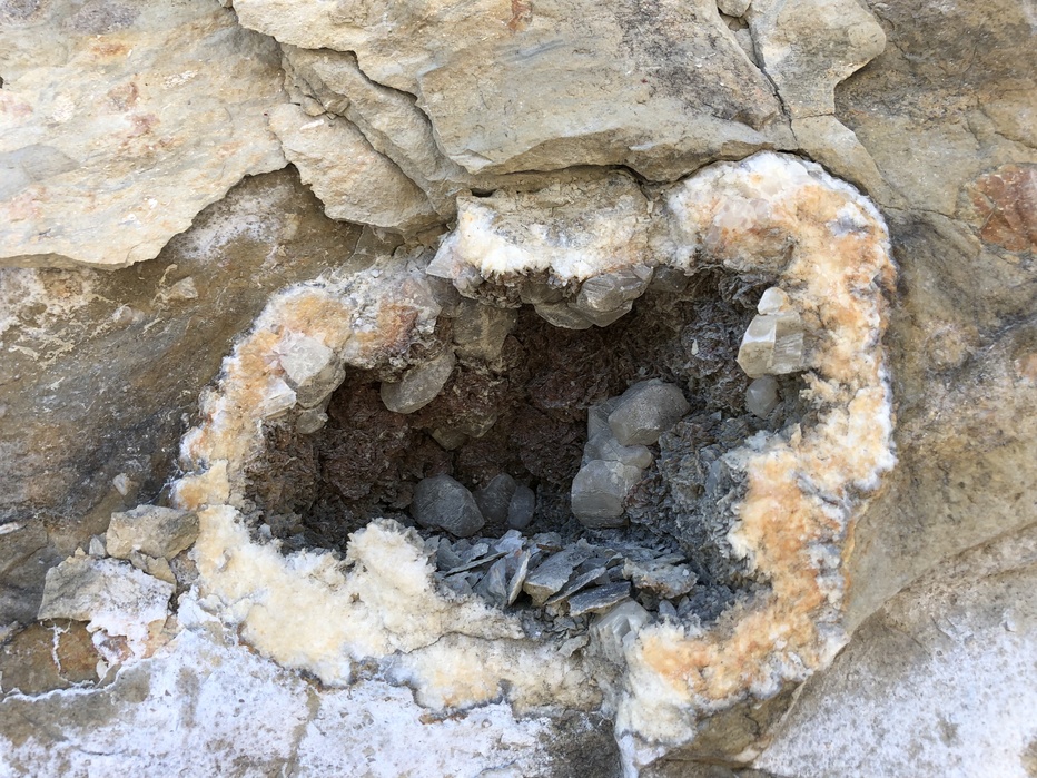
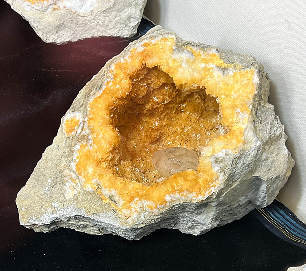


SR 56, Canton, Washington County, Indiana, USA