| Locality | Latitude | Longitude | Distance | Bearing |
|---|
| Winn Mine, Cave-In-Rock Mining Sub-District, Hardin County, Illinois, USA | 37° 28' 30" N | 88° 9' 36" W | 1.9km (1.2 miles) | |
| Rogers Mine (Underwood property), Hardin County, Illinois, USA | 37° 28' 32" N | 88° 9' 33" W | 1.9km (1.2 miles) | |
| Frayser Mine, Hardin County, Illinois, USA | 37° 28' 38" N | 88° 9' 25" W | 1.9km (1.2 miles) | |
| Cave-in-Rock, Cave-In-Rock Mining Sub-District, Hardin County, Illinois, USA | 37° 28' 8" N | 88° 9' 59" W | 2.0km (1.2 miles) | |
| Lafarge Cave-in-Rock Quarry (Cave in Rock Quarry; Cave-In-Rock Quarry), Hardin County, Illinois, USA | 37° 28' 44" N | 88° 7' 50" W | 2.3km (1.4 miles) | |
| Rigsby & Barnard Quarry & Mill (Hardin County Materials Plant), Hardin County, Illinois, USA | 37° 29' 49" N | 88° 9' 42" W | 4.1km (2.6 miles) | |
| Bean Quarry, Hardin County, Illinois, USA | 37° 30' 2" N | 88° 10' 14" W | 4.8km (3.0 miles) | |
| George Sliger Mine, Crittenden County, Kentucky, USA | 37° 24' 57" N | 88° 8' 58" W | 5.2km (3.2 miles) | |
| Brown Mine, Crittenden County, Kentucky, USA | 37° 24' 39" N | 88° 9' 12" W | 5.8km (3.6 miles) | |
| Simmons Mine, Hardin County, Illinois, USA | 37° 30' 43" N | 88° 11' 8" W | 6.5km (4.1 miles) | |
| Underwood Mine, Cave-In-Rock Mining Sub-District, Hardin County, Illinois, USA | 37° 30' 48" N | 88° 11' 4" W | 6.6km (4.1 miles) | |
| Wall Mine No. 1, Ozark-Mahoning group, Cave-In-Rock Mining Sub-District, Hardin County, Illinois, USA | 37° 30' 52" N | 88° 11' 1" W | 6.7km (4.1 miles) | |
| Frailey Workings, Tower Rock area, Hardin County, Illinois, USA | 37° 28' 31" N | 88° 13' 14" W | 6.8km (4.2 miles) | |
| Hastie's Quarry, Spar Mountain (Iron Mountain), Cave-In-Rock Mining Sub-District, Hardin County, Illinois, USA | 37° 30' 15" N | 88° 12' 21" W | 7.1km (4.4 miles) | |
| Spivey Mine, Goose Creek Mining Sub-District, Hardin County, Illinois, USA | 37° 30' 39" N | 88° 11' 53" W | 7.1km (4.4 miles) | |
| Horning Tract Prospect, Crittenden County, Kentucky, USA | 37° 23' 54" N | 88° 8' 52" W | 7.1km (4.4 miles) | |
| Green-Defender Mine, Austin Group, Spar Mountain (Iron Mountain), Cave-In-Rock Mining Sub-District, Hardin County, Illinois, USA | 37° 30' 40" N | 88° 11' 55" W | 7.2km (4.4 miles) | |
| Crystal Mine, Cave-In-Rock Mining Sub-District, Hardin County, Illinois, USA | 37° 30' 55" N | 88° 11' 33" W | 7.2km (4.5 miles) | |
| Cleveland Mine, Austin group, Spar Mountain (Iron Mountain), Cave-In-Rock Mining Sub-District, Hardin County, Illinois, USA | 37° 30' 28" N | 88° 12' 15" W | 7.2km (4.5 miles) | |
| East Green Mine, Ozark-Mahoning group, Cave-In-Rock Mining Sub-District, Hardin County, Illinois, USA | 37° 31' 21" N | 88° 10' 36" W | 7.2km (4.5 miles) | |
| Wall Mine No. 2, Cave-In-Rock Mining Sub-District, Hardin County, Illinois, USA | 37° 30' 45" N | 88° 11' 53" W | 7.2km (4.5 miles) | |
| North Green Mine, Ozark-Mahoning group, Cave-In-Rock Mining Sub-District, Hardin County, Illinois, USA | 37° 31' 30" N | 88° 10' 21" W | 7.4km (4.6 miles) | |
| Griffith's Mine, Hastie's Quarry, Spar Mountain (Iron Mountain), Cave-In-Rock Mining Sub-District, Hardin County, Illinois, USA | 37° 30' 29" N | 88° 12' 23" W | 7.4km (4.6 miles) | |
| Patrick Mine, Tower Rock area, Hardin County, Illinois, USA | 37° 28' 41" N | 88° 13' 38" W | 7.4km (4.6 miles) | |
| West Green Mine, Ozark-Mahoning group, Cave-In-Rock Mining Sub-District, Hardin County, Illinois, USA | 37° 31' 25" N | 88° 10' 45" W | 7.4km (4.6 miles) | |
| Victory Mine, Cave-In-Rock Mining Sub-District, Hardin County, Illinois, USA | 37° 30' 26" N | 88° 12' 29" W | 7.4km (4.6 miles) | |
| Hill-Ledford Mine, Cave-In-Rock Mining Sub-District, Hardin County, Illinois, USA | 37° 31' 40" N | 88° 9' 48" W | 7.4km (4.6 miles) | |
| Pittsburgh Fluorspar Products Company, Cave-In-Rock Mining Sub-District, Hardin County, Illinois, USA | 37° 30' 1" N | 88° 13' 1" W | 7.6km (4.7 miles) | |
| Spar Mountain (Iron Mountain), Cave-In-Rock Mining Sub-District, Hardin County, Illinois, USA | 37° 30' 35" N | 88° 12' 26" W | 7.6km (4.7 miles) | |
| Lead Mine, Austin Group, Spar Mountain (Iron Mountain), Cave-In-Rock Mining Sub-District, Hardin County, Illinois, USA | 37° 30' 31" N | 88° 12' 32" W | 7.6km (4.7 miles) | |


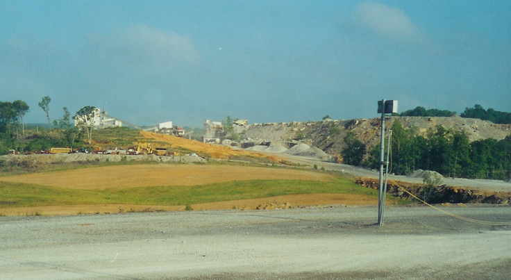
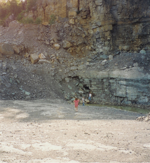


Hastie's Quarry, Spar Mountain, Cave-In-Rock Mining Sub-District, Hardin County, Illinois, USA