| Locality | Latitude | Longitude | Distance | Bearing |
|---|
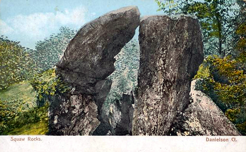
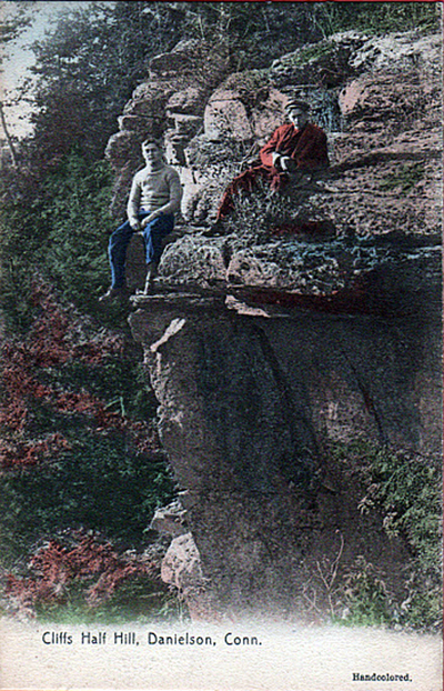
| Danielson, Killingly, Windham County, Connecticut, USA | 41° 48' 5" N | 71° 53' 10" W | 0.1km (0.1 miles) | |
| Killingly, Windham County, Connecticut, USA | 41° 49' 26" N | 71° 50' 11" W | 4.7km (2.9 miles) | |
| Dayville, Killingly, Windham County, Connecticut, USA | 41° 50' 46" N | 71° 53' 17" W | 4.9km (3.0 miles) | |
| Wauregan Quarry, Wauregan, Plainfield, Windham County, Connecticut, USA | 41° 44' 43" N | 71° 53' 23" W | 6.4km (3.9 miles) | |
| Wauregan, Plainfield, Windham County, Connecticut, USA | 41° 44' 41" N | 71° 54' 38" W | 6.7km (4.2 miles) | |
| Amethyst locality, Moosup, Plainfield, Windham County, Connecticut, USA | 41° 43' 4" N | 71° 51' 42" W | 9.6km (6.0 miles) | |
| Quartz locality, Moosup, Plainfield, Windham County, Connecticut, USA | 41° 43' 4" N | 71° 51' 33" W | 9.7km (6.0 miles) | |
| Moosup, Plainfield, Windham County, Connecticut, USA | 41° 42' 45" N | 71° 53' 8" W | 10.0km (6.2 miles) | |
| Sterling, Windham County, Connecticut, USA | 41° 42' 26" N | 71° 49' 45" W | 11.6km (7.2 miles) | |
| Pomfret, Windham County, Connecticut, USA | 41° 53' 51" N | 71° 57' 45" W | 12.3km (7.7 miles) | |
| Hampton, Windham County, Connecticut, USA | 41° 47' 2" N | 72° 3' 17" W | 14.2km (8.8 miles) | |
| Plainfield, Windham County, Connecticut, USA | 41° 40' 35" N | 71° 54' 55" W | 14.2km (8.8 miles) | |
| Durfee Hill Gold mine, Glocester, Providence County, Rhode Island, USA | 41° 53' 5" N | 71° 44' 32" W | 15.0km (9.3 miles) | |
| South Foster, Foster, Providence County, Rhode Island, USA | 41° 49' 23" N | 71° 42' 14" W | 15.3km (9.5 miles) | |
| West Thompson, Thompson, Windham County, Connecticut, USA | 41° 56' 41" N | 71° 54' 41" W | 16.0km (9.9 miles) | |
| West Thompson Dam, West Thompson, Thompson, Windham County, Connecticut, USA | 41° 56' 45" N | 71° 53' 52" W | 16.0km (9.9 miles) | |
| Thompson, Windham County, Connecticut, USA | 41° 57' 30" N | 71° 51' 45" W | 17.4km (10.8 miles) | |
| Woodstock, Windham County, Connecticut, USA | 41° 57' 2" N | 71° 58' 38" W | 18.1km (11.3 miles) | |
| Rockland, Scituate, Providence County, Rhode Island, USA | 41° 47' 12" N | 71° 40' 0" W | 18.3km (11.3 miles) | |
| Glocester, Providence County, Rhode Island, USA | 41° 53' 26" N | 71° 41' 26" W | 18.9km (11.8 miles) | |
| Chandler Hill, Woodstock, Windham County, Connecticut, USA | 41° 58' 29" N | 71° 57' 27" W | 20.1km (12.5 miles) | |
| West Greenwich, Kent County, Rhode Island, USA | 41° 38' 16" N | 71° 45' 6" W | 21.4km (13.3 miles) | |
| Chepachet, Glocester, Providence County, Rhode Island, USA | 41° 54' 53" N | 71° 40' 17" W | 21.7km (13.5 miles) | |
| Pascoag, Burrillville, Providence County, Rhode Island, USA | 41° 57' 27" N | 71° 42' 20" W | 22.8km (14.2 miles) | |
| Jackson Granite quarry, Coventry, Kent County, Rhode Island, USA | 41° 41' 47" N | 71° 39' 0" W | 22.8km (14.2 miles) | |
| Lisbon, New London County, Connecticut, USA | 41° 36' 16" N | 72° 1' 5" W | 24.6km (15.3 miles) | |
| Mansfield Hollow Dam, Windham, Windham County, Connecticut, USA | 41° 44' 56" N | 72° 10' 26" W | 24.6km (15.3 miles) | |
| Burrillville, Providence County, Rhode Island, USA | 41° 58' 5" N | 71° 40' 59" W | 24.9km (15.5 miles) | |
| Harrisville, Burrillville, Providence County, Rhode Island, USA | 41° 58' 6" N | 71° 40' 48" W | 25.1km (15.6 miles) | |
| 195 River Road, Lisbon, New London County, Connecticut, USA | 41° 35' 11" N | 71° 59' 44" W | 25.7km (16.0 miles) | |


Danielson, Killingly, Windham County, Connecticut, USA