| Locality | Latitude | Longitude | Distance | Bearing |
|---|
| Seymour, New Haven County, Connecticut, USA | 41° 23' 43" N | 73° 4' 21" W | 0.5km (0.3 miles) | |
| Haynes Quarry, Seymour, New Haven County, Connecticut, USA | 41° 22' 45" N | 73° 4' 59" W | 1.8km (1.1 miles) | |
| Silver mine, Seymour, New Haven County, Connecticut, USA | 41° 23' 28" N | 73° 3' 19" W | 2.0km (1.2 miles) | |
| Arsenic and nickel mine (Nickel Mine Brook), Seymour, New Haven County, Connecticut, USA | 41° 22' 35" N | 73° 5' 3" W | 2.1km (1.3 miles) | |
| Barrett Brothers Quarry (D and J Quarry), Beacon Falls, New Haven County, Connecticut, USA | 41° 25' 4" N | 73° 4' 26" W | 2.6km (1.6 miles) | |
| Holbrook Quarry, Seymour, New Haven County, Connecticut, USA | 41° 21' 49" N | 73° 4' 16" W | 3.5km (2.2 miles) | |
| State Route 67 construction site, Oxford, New Haven County, Connecticut, USA | 41° 25' 25" N | 73° 6' 24" W | 4.0km (2.5 miles) | |
| Potter Quarry, Ansonia, New Haven County, Connecticut, USA | 41° 21' 17" N | 73° 4' 40" W | 4.5km (2.8 miles) | |
| Beacon Falls, New Haven County, Connecticut, USA | 41° 26' 34" N | 73° 3' 45" W | 5.5km (3.4 miles) | |
| Little Laurel Lime Park, Seymour, New Haven County, Connecticut, USA | 41° 21' 24" N | 73° 7' 49" W | 6.1km (3.8 miles) | |
| Mesa Drive roadcuts, Bethany, New Haven County, Connecticut, USA | 41° 26' 18" N | 73° 1' 10" W | 6.9km (4.3 miles) | |
| Woodbridge, New Haven County, Connecticut, USA | 41° 21' 13" N | 73° 0' 44" W | 7.2km (4.5 miles) | |
| Stevenson Mine (Burke's Copper Mine), Oxford, New Haven County, Connecticut, USA | 41° 23' 43" N | 73° 9' 59" W | 7.3km (4.6 miles) | |
| Derby, New Haven County, Connecticut, USA | 41° 19' 15" N | 73° 5' 20" W | 8.3km (5.2 miles) | |
| East Village pegmatite prospect, Monroe, Fairfield County, Connecticut, USA | 41° 21' 52" N | 73° 11' 4" W | 9.5km (5.9 miles) | |
| Barcla Quarry (Clark-Barrone Quarry), Woodbridge, New Haven County, Connecticut, USA | 41° 21' 2" N | 72° 58' 28" W | 10.0km (6.2 miles) | |
| Curtis Quarry (Southford Quarry; Southford pegmatite; Southbury rose quartz quarry; Bridgeport Woodfinishing Co. Quarry; Hulls Hill), Southford, Southbury, New Haven County, Connecticut, USA | 41° 26' 58" N | 73° 10' 32" W | 10.1km (6.3 miles) | |
| Woodbridge Mall (Amity Shopping Center), Woodbridge, New Haven County, Connecticut, USA | 41° 20' 11" N | 72° 58' 58" W | 10.3km (6.4 miles) | |
| Southford, Southbury, New Haven County, Connecticut, USA | 41° 27' 53" N | 73° 9' 44" W | 10.4km (6.5 miles) | |
| Naugatuck, New Haven County, Connecticut, USA | 41° 29' 26" N | 73° 3' 21" W | 10.8km (6.7 miles) | |
| Booth's Mine (Booth's Bismuth Mine; Booth-Hurd's Bismuth Mine), Monroe, Fairfield County, Connecticut, USA | 41° 20' 7" N | 73° 11' 15" W | 11.3km (7.0 miles) | |
| Great Ring farm, Newtown, Fairfield County, Connecticut, USA | 41° 23' 22" N | 73° 13' 18" W | 12.0km (7.4 miles) | |
| Huntington, Shelton, Fairfield County, Connecticut, USA | 41° 17' 47" N | 73° 8' 46" W | 12.3km (7.7 miles) | |
| Unnamed quartz prospect, Southbury, New Haven County, Connecticut, USA | 41° 27' 23" N | 73° 12' 7" W | 12.4km (7.7 miles) | |
| Pine Rock Quarry (Farnham Quarry), Hamden, New Haven County, Connecticut, USA | 41° 20' 17" N | 72° 57' 3" W | 12.4km (7.7 miles) | |
| Silliman's Verd Antique Quarry, West Haven, New Haven County, Connecticut, USA | 41° 18' 43" N | 72° 58' 41" W | 12.4km (7.7 miles) | |
| O and G quarry # 3, Prospect, New Haven County, Connecticut, USA | 41° 29' 37" N | 73° 0' 21" W | 12.5km (7.8 miles) | |
| Lambert's Mine (Maltby Lakes Mine), West Haven, New Haven County, Connecticut, USA | 41° 18' 22" N | 72° 58' 57" W | 12.7km (7.9 miles) | |
| Monroe, Fairfield County, Connecticut, USA | 41° 19' 57" N | 73° 12' 28" W | 12.8km (8.0 miles) | |
| State Route 8 exit 29, Naugatuck, New Haven County, Connecticut, USA | 41° 30' 49" N | 73° 2' 53" W | 13.4km (8.3 miles) | |

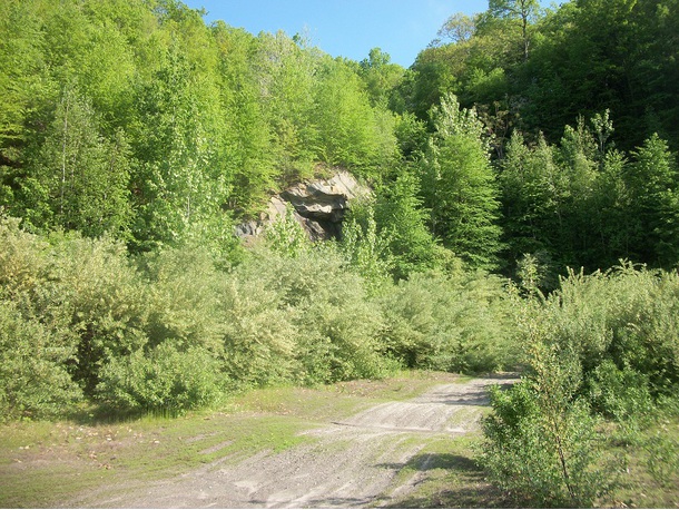
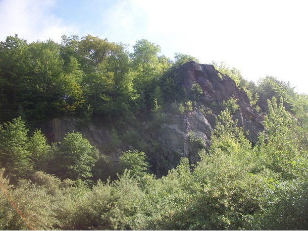


Seymour, New Haven County, Connecticut, USA