| Locality | Latitude | Longitude | Distance | Bearing |
|---|
| Black Mountain Quarry, Rumford, Oxford County, Maine, USA | 44° 35' 7" N | 70° 38' 47" W | 3.0km (1.8 miles) | |
| Lower prospects, Rumford, Oxford County, Maine, USA | 44° 32' 48" N | 70° 43' 11" W | 5.1km (3.2 miles) | |
| Frank Perham prospect, Rumford, Oxford County, Maine, USA | 44° 32' 47" N | 70° 43' 15" W | 5.2km (3.2 miles) | |
| Nevel Quarry (Twin tunnels; United Feldspar Quarry), Newry, Oxford County, Maine, USA | 44° 32' 42" N | 70° 43' 19" W | 5.4km (3.4 miles) | |
| Bell pit, Newry, Oxford County, Maine, USA | 44° 32' 39" N | 70° 43' 15" W | 5.4km (3.4 miles) | |
| Crooker Gem Pegmatite Quarries, Newry, Oxford County, Maine, USA | 44° 32' 39" N | 70° 43' 24" W | 5.5km (3.4 miles) | |
| Dunton Gem Quarry, Newry, Oxford County, Maine, USA | 44° 32' 34" N | 70° 43' 23" W | 5.6km (3.5 miles) | |
| Broome Prospect, Newry, Oxford County, Maine, USA | 44° 32' 44" N | 70° 43' 45" W | 5.7km (3.5 miles) | |
| Whitehall #1 Prospect (Whitehall Quarry), Newry, Oxford County, Maine, USA | 44° 32' 47" N | 70° 43' 53" W | 5.7km (3.6 miles) | |
| Kinglet Prospect, Newry, Oxford County, Maine, USA | 44° 32' 31" N | 70° 43' 26" W | 5.7km (3.6 miles) | |
| Whitehall No. 2 Prospect, Newry, Oxford County, Maine, USA | 44° 32' 44" N | 70° 43' 50" W | 5.8km (3.6 miles) | |
| Scotty Quarry, Newry, Oxford County, Maine, USA | 44° 32' 35" N | 70° 43' 37" W | 5.8km (3.6 miles) | |
| Plumbago North pegmatite, Newry, Oxford County, Maine, USA | 44° 32' 43" N | 70° 44' 35" W | 6.5km (4.0 miles) | |
| East Branch Swift River Gold locality, Byron, Oxford County, Maine, USA | 44° 44' 12" N | 70° 37' 9" W | 17.6km (10.9 miles) | |
| Lobikis Quarry, Peru, Oxford County, Maine, USA | 44° 29' 24" N | 70° 29' 34" W | 18.4km (11.5 miles) | |
| West Branch Swift River Gold Locality, Byron, Oxford County, Maine, USA | 44° 45' 15" N | 70° 39' 15" W | 18.9km (11.8 miles) | |
| Lone Star Silver Mine, Woodstock, Oxford County, Maine, USA | 44° 25' 12" N | 70° 34' 9" W | 20.5km (12.7 miles) | |
| Woodstock Gold and Silver Mine, Woodstock, Oxford County, Maine, USA | 44° 23' 59" N | 70° 35' 50" W | 21.7km (13.5 miles) | |
| Hedgehog Hill Quarry (Gem Mica Quarry), Peru, Oxford County, Maine, USA | 44° 28' 6" N | 70° 27' 6" W | 22.5km (14.0 miles) | |
| Brimstone Mtn Mine, D Township, Franklin County, Maine, USA | 44° 47' 30" N | 70° 41' 34" W | 23.0km (14.3 miles) | |
| Songo Pond Quarry (Kimball Ledge Quarry), Albany, Oxford County, Maine, USA | 44° 21' 2" N | 70° 46' 55" W | 27.2km (16.9 miles) | |
| Biron Quarry, Sumner, Oxford County, Maine, USA | 44° 22' 28" N | 70° 30' 19" W | 27.3km (17.0 miles) | |
| Ragged Ass Jack Mountain locality (Ragged Jack Mountain locality), Hartford, Oxford County, Maine, USA | 44° 25' 20" N | 70° 24' 33" W | 28.3km (17.6 miles) | |
| Uncle Tom Mountain, Greenwood, Oxford County, Maine, USA | 44° 19' 34" N | 70° 42' 6" W | 28.8km (17.9 miles) | |
| Greenwood Ice Caves, Greenwood, Oxford County, Maine, USA | 44° 19' 34" N | 70° 42' 6" W | 28.8km (17.9 miles) | |
| Emmons Quarry, Uncle Tom Mountain, Greenwood, Oxford County, Maine, USA | 44° 19' 23" N | 70° 41' 40" W | 29.1km (18.1 miles) | |
| Donahue Quarry (Donahue Prospect), Albany, Oxford County, Maine, USA | 44° 20' 4" N | 70° 48' 43" W | 29.6km (18.4 miles) | |
| Bumpus Quarry, Albany, Oxford County, Maine, USA | 44° 18' 42" N | 70° 46' 51" W | 31.3km (19.5 miles) | |
| A.C. Perham Quarry, West Paris, Oxford County, Maine, USA | 44° 18' 47" N | 70° 34' 44" W | 31.4km (19.5 miles) | |
| Douglass Road Metal Quarry, Albany, Oxford County, Maine, USA | 44° 18' 37" N | 70° 46' 54" W | 31.5km (19.6 miles) | |


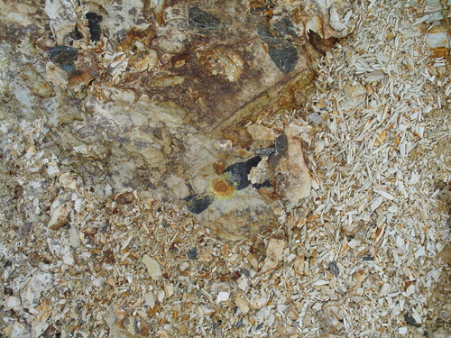


Nevel Quarry, Newry, Oxford County, Maine, USA