| Locality | Latitude | Longitude | Distance | Bearing |
|---|
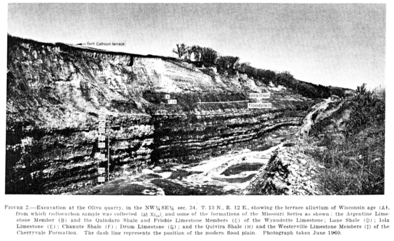
| Olivo Quarry, Washington County, Nebraska, USA | 41° 3' 10" N | 96° 3' 8" W | 4.3km (2.7 miles) | |
| National Stone Quarry, Louisville, Cass County, Nebraska, USA | 41° 0' 18" N | 96° 8' 56" W | 5.4km (3.4 miles) | |
| Louisville, Cass County, Nebraska, USA | 40° 59' 51" N | 96° 9' 37" W | 6.7km (4.2 miles) | |
| Papillion, Sarpy County, Nebraska, USA | 41° 9' 15" N | 96° 2' 32" W | 13.9km (8.7 miles) | |
| Plattsmouth, Cass County, Nebraska, USA | 41° 0' 19" N | 95° 53' 39" W | 17.6km (10.9 miles) | |
| Onyx Ace Hill Quarry (Ace Hill Quarry), Plattsmouth, Cass County, Nebraska, USA | 41° 0' 59" N | 95° 52' 59" W | 18.3km (11.3 miles) | |
| Martin-Marietta Quarry (Myers Quarry), Weeping Water, Cass County, Nebraska, USA | 40° 52' 18" N | 96° 5' 27" W | 18.3km (11.4 miles) | |
| Weeping Water, Cass County, Nebraska, USA | 40° 52' 11" N | 96° 8' 23" W | 18.9km (11.7 miles) | |
| Kerford Quarry, Weeping Water, Cass County, Nebraska, USA | 40° 52' 15" N | 96° 11' 27" W | 20.0km (12.4 miles) | |
| PCS Phosphate Quarry, Weeping Water, Cass County, Nebraska, USA | 40° 51' 24" N | 96° 7' 53" W | 20.2km (12.5 miles) | |
| Martin Marietta Quarry (2), Weeping Water, Cass County, Nebraska, USA | 40° 50' 39" N | 96° 10' 42" W | 22.4km (13.9 miles) | |
| Ashland, Saunders County, Nebraska, USA | 41° 2' 20" N | 96° 22' 5" W | 22.5km (14.0 miles) | |
| Queen Hill Quarry, Plattsmouth, Cass County, Nebraska, USA | 40° 56' 0" N | 95° 50' 41" W | 24.3km (15.1 miles) | |
| Nehawka, Cass County, Nebraska, USA | 40° 49' 49" N | 95° 59' 29" W | 24.7km (15.3 miles) | |
| Schwaberer Quarry, Nehawka, Cass County, Nebraska, USA | 40° 49' 45" N | 95° 59' 29" W | 24.8km (15.4 miles) | |
| Lead smelter, Omaha, Douglas County, Nebraska, USA | 41° 13' 11" N | 95° 55' 24" W | 25.1km (15.6 miles) | |
| King Hill Quarry, Cass County, Nebraska, USA | 40° 54' 21" N | 95° 49' 39" W | 27.1km (16.8 miles) | |
| Union, Cass County, Nebraska, USA | 40° 48' 51" N | 95° 55' 17" W | 28.9km (18.0 miles) | |
| Two-Rivers Recreation area, Dodge County, Nebraska, USA | 41° 13' 9" N | 96° 21' 6" W | 29.3km (18.2 miles) | |
| Eagle, Cass County, Nebraska, USA | 40° 48' 59" N | 96° 25' 49" W | 37.0km (23.0 miles) | |
| Dunbar, Otoe County, Nebraska, USA | 40° 40' 7" N | 96° 1' 41" W | 41.4km (25.7 miles) | |
| Eagle meteorite, Eagle, Cass County, Nebraska, USA | 40° 46' 54" N | 96° 28' 18" W | 42.2km (26.2 miles) | |
| Syracuse, Otoe County, Nebraska, USA | 40° 39' 36" N | 96° 10' 56" W | 42.4km (26.4 miles) | |
| North Omaha Rock & Lime Quarry, Washington County, Nebraska, USA | 41° 24' 26" N | 95° 56' 42" W | 43.2km (26.8 miles) | |
| Palmyra, Otoe County, Nebraska, USA | 40° 42' 15" N | 96° 23' 23" W | 44.3km (27.5 miles) | |
| Nebraska City, Otoe County, Nebraska, USA | 40° 40' 35" N | 95° 51' 31" W | 44.9km (27.9 miles) | |
| Willard formation, Otoe County, Nebraska, USA | 40° 40' 9" N | 95° 49' 51" W | 46.7km (29.0 miles) | |
| Fort Calhoun, Washington County, Nebraska, USA | 41° 27' 20" N | 96° 1' 35" W | 47.0km (29.2 miles) | |
| Wahoo, Saunders County, Nebraska, USA | 41° 12' 41" N | 96° 37' 16" W | 47.8km (29.7 miles) | |
| Davey, Lancaster County, Nebraska, USA | 40° 59' 8" N | 96° 40' 7" W | 48.1km (29.9 miles) | |
Minerals recorded nearby (within 20 km)
Rock types recorded nearby (within 20 km)
Entries shown in red are rocks recorded for this region.


National Stone Quarry, Louisville, Cass County, Nebraska, USA