| Locality | Latitude | Longitude | Distance | Bearing |
|---|
| Philipstown, Cold Spring, Town of Philipstown, Putnam County, New York, USA | 41° 25' 22" N | 73° 57' 2" W | 0.4km (0.2 miles) | |
| Mount Taurus Quarry, Town of Philipstown, Putnam County, New York, USA | 41° 25' 37" N | 73° 57' 38" W | 1.2km (0.7 miles) | |
| Stony Point Quarry, Town of Philipstown, Putnam County, New York, USA | 41° 25' 38" N | 73° 58' 4" W | 1.8km (1.1 miles) | |
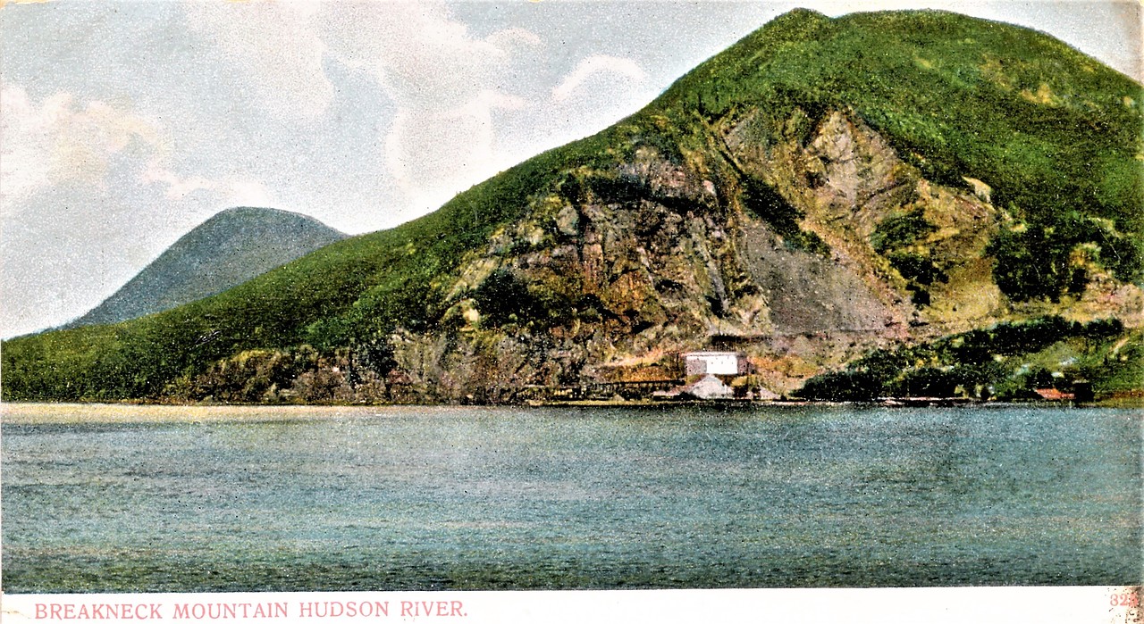
| Hudson River, Town of Philipstown, Putnam County, New York, USA | 41° 24' 34" N | 73° 57' 32" W | 2.0km (1.2 miles) | |
| Constitution Island, Hudson River, Town of Philipstown, Putnam County, New York, USA | 41° 24' 20" N | 73° 57' 15" W | 2.2km (1.4 miles) | |
| West Point, Orange County, New York, USA | 41° 23' 28" N | 73° 57' 23" W | 3.8km (2.3 miles) | |
| Garrison, Town of Philipstown, Putnam County, New York, USA | 41° 23' 2" N | 73° 56' 44" W | 4.5km (2.8 miles) | |
| Travis Corners, Town of Philipstown, Putnam County, New York, USA | 41° 23' 2" N | 73° 54' 17" W | 5.7km (3.5 miles) | |
| Canopus Mine, Travis Corners, Town of Philipstown, Putnam County, New York, USA | 41° 23' 12" N | 73° 53' 53" W | 5.8km (3.6 miles) | |
| Hustis Quarry, Town of Philipstown, Putnam County, New York, USA | 41° 28' 0" N | 73° 54' 0" W | 6.1km (3.8 miles) | |
| Cotton Rock, Cold Spring, Town of Philipstown, Putnam County, New York, USA | 41° 21' 46" N | 73° 57' 23" W | 6.9km (4.3 miles) | |
| Bog Meadow Pond, Town of Highlands, Orange County, New York, USA | 41° 23' 7" N | 74° 0' 48" W | 7.1km (4.4 miles) | |
| Croft Mine, Oscawana Corners, Town of Putnam Valley, Putnam County, New York, USA | 41° 22' 41" N | 73° 52' 45" W | 7.6km (4.7 miles) | |
| Hamilton Mine, Canada Mines Group (Canada Iron Mines), Town of Putnam Valley, Putnam County, New York, USA | 41° 25' 0" N | 73° 50' 59" W | 8.1km (5.0 miles) | |
| Stewart Mine, Canada Mines Group (Canada Iron Mines), Town of Putnam Valley, Putnam County, New York, USA | 41° 25' 0" N | 73° 50' 59" W | 8.1km (5.0 miles) | |
| Canada Mine, Canada Mines Group (Canada Iron Mines), Town of Putnam Valley, Putnam County, New York, USA | 41° 25' 0" N | 73° 50' 59" W | 8.1km (5.0 miles) | |
| Denny Magnetite Mine, Town of Putnam Valley, Putnam County, New York, USA | 41° 25' 0" N | 73° 50' 59" W | 8.1km (5.0 miles) | |
| Pratt Mine, Canada Mines Group (Canada Iron Mines), Town of Putnam Valley, Putnam County, New York, USA | 41° 25' 0" N | 73° 50' 59" W | 8.1km (5.0 miles) | |
| Croft Mine (Croft Magnetic Iron Mine), Peekskill, Westchester County, New York, USA | 41° 22' 0" N | 73° 53' 6" W | 8.2km (5.1 miles) | |
| Oscawana Corners, Town of Putnam Valley, Putnam County, New York, USA | 41° 22' 42" N | 73° 51' 21" W | 9.1km (5.7 miles) | |
| Thalle Industries Quarry, Town of Fishkill, Dutchess County, New York, USA | 41° 30' 4" N | 73° 54' 2" W | 9.4km (5.8 miles) | |
| Todd Mine, Peekskill, Westchester County, New York, USA | 41° 20' 30" N | 73° 55' 0" W | 9.5km (5.9 miles) | |
| Continental Village, Town of Philipstown, Putnam County, New York, USA | 41° 20' 24" N | 73° 54' 13" W | 10.0km (6.2 miles) | |
| Tower Mine, Fort Montgomery, Town of Highlands, Orange County, New York, USA | 41° 21' 0" N | 74° 1' 0" W | 10.1km (6.3 miles) | |
| Fort Montgomery, Town of Highlands, Orange County, New York, USA | 41° 19' 53" N | 73° 59' 12" W | 10.9km (6.8 miles) | |
| Philips Mine (Philips Pyrite Mine; Anthony's Nose Pyrrhotite Mine), Town of Philipstown, Putnam County, New York, USA | 41° 19' 35" N | 73° 57' 6" W | 10.9km (6.8 miles) | |
| Canopus Lake, Town of Kent, Putnam County, New York, USA | 41° 28' 3" N | 73° 49' 41" W | 11.0km (6.8 miles) | |
| Silver Mine, Popolopen Lake, Town of Highlands, Orange County, New York, USA | 41° 21' 29" N | 74° 2' 44" W | 11.1km (6.9 miles) | |
| Ore loading dock, Fort Montgomery, Town of Highlands, Orange County, New York, USA | 41° 19' 38" N | 73° 59' 3" W | 11.2km (7.0 miles) | |
| Phillips ore bed, Town of Putnam Valley, Putnam County, New York, USA | 41° 20' 8" N | 73° 52' 27" W | 11.6km (7.2 miles) | |


Mount Taurus Quarry, Town of Philipstown, Putnam County, New York, USA