| Locality | Latitude | Longitude | Distance | Bearing |
|---|
| Kurasz Pit, Clark County, Wisconsin, USA | 44° 37' 19" N | 90° 34' 0" W | 7.3km (4.5 miles) | |
| Opelt Quarry, Neillsville, Clark County, Wisconsin, USA | 44° 29' 29" N | 90° 39' 18" W | 8.9km (5.6 miles) | |
| Rock Creek Road Quartzite Quarry, Clark County, Wisconsin, USA | 44° 27' 11" N | 90° 32' 12" W | 12.8km (7.9 miles) | |
| High Hill quartz & rhyolite deposit, Clark County, Wisconsin, USA | 44° 27' 6" N | 90° 27' 20" W | 16.4km (10.2 miles) | |
| Pit Road Rhyolite Quarry, Clark County, Wisconsin, USA | 44° 30' 11" N | 90° 24' 15" W | 16.5km (10.2 miles) | |
| Wildcat Mound, Clark County, Wisconsin, USA | 44° 31' 29" N | 90° 48' 22" W | 17.1km (10.6 miles) | |
| Small Creek quartz deposit, Clark County, Wisconsin, USA | 44° 25' 23" N | 90° 27' 34" W | 18.7km (11.6 miles) | |
| Matti Shale Quarry, Clark County, Wisconsin, USA | 44° 31' 40" N | 90° 51' 46" W | 21.4km (13.3 miles) | |
| Todd Road granite deposit, Clark County, Wisconsin, USA | 44° 29' 22" N | 90° 19' 11" W | 23.3km (14.4 miles) | |
| Tyndall granite & gravel deposit, Clark County, Wisconsin, USA | 44° 28' 5" N | 90° 19' 30" W | 23.8km (14.8 miles) | |
| Hardwick Shale Quarry, Clark County, Wisconsin, USA | 44° 33' 24" N | 90° 54' 10" W | 24.3km (15.1 miles) | |
| Rennock granite deposit, Clark County, Wisconsin, USA | 44° 27' 39" N | 90° 18' 57" W | 24.8km (15.4 miles) | |
| Rock Dam, Clark County, Wisconsin, USA | 44° 44' 0" N | 90° 50' 48" W | 27.7km (17.2 miles) | |
| Johnson Valley stone deposit, Trempealeau County, Wisconsin, USA | 44° 30' 24" N | 90° 56' 56" W | 28.6km (17.8 miles) | |
| Cary Mound area quarries, Wood County, Wisconsin, USA | 44° 29' 49" N | 90° 13' 37" W | 30.1km (18.7 miles) | |
| Coles Corner Road Clay Pit, Clark County, Wisconsin, USA | 44° 44' 56" N | 90° 19' 9" W | 30.4km (18.9 miles) | |
| County quarry, Cary Mound area quarries, Wood County, Wisconsin, USA | 44° 30' 32" N | 90° 12' 57" W | 30.7km (19.1 miles) | |
| Smith Quarry (Wood County Highway Department), Cary Mound area quarries, Wood County, Wisconsin, USA | 44° 30' 38" N | 90° 12' 48" W | 30.8km (19.2 miles) | |
| Haske Quarry, Cary Mound area quarries, Wood County, Wisconsin, USA | 44° 31' 41" N | 90° 12' 20" W | 31.2km (19.4 miles) | |
| Jackson County Iron Mine (Black River Falls Mine; Ron Mound; Seven Mile Mound Mine; Red Mound), Jackson County, Wisconsin, USA | 44° 17' 26" N | 90° 43' 23" W | 31.6km (19.6 miles) | |
| Tilden Mound Deposit (Section 11 Mound), Jackson County, Wisconsin, USA | 44° 18' 28" N | 90° 49' 46" W | 33.6km (20.9 miles) | |
| Castle Mound, Jackson County, Wisconsin, USA | 44° 16' 48" N | 90° 49' 21" W | 35.9km (22.3 miles) | |
| Veedum Quarries, Wood County, Wisconsin, USA | 44° 23' 57" N | 90° 11' 8" W | 37.2km (23.1 miles) | |
| Hoffman granite boulder deposit, Marathon County, Wisconsin, USA | 44° 48' 51" N | 90° 16' 20" W | 38.1km (23.7 miles) | |
| Park Street Granite Quarry, Marathon County, Wisconsin, USA | 44° 44' 58" N | 90° 11' 21" W | 38.5km (23.9 miles) | |
| Ross Blott Granite Quarry, Marathon County, Wisconsin, USA | 44° 42' 15" N | 90° 7' 46" W | 40.2km (25.0 miles) | |
| Macarthur Street granite deposit, Marathon County, Wisconsin, USA | 44° 47' 34" N | 90° 11' 51" W | 40.8km (25.3 miles) | |
| W. Guldan granite deposit, Marathon County, Wisconsin, USA | 44° 46' 18" N | 90° 10' 12" W | 41.1km (25.5 miles) | |
| Dill Creek Granite Quarry No. 1, Marathon County, Wisconsin, USA | 44° 52' 18" N | 90° 17' 3" W | 42.5km (26.4 miles) | |
| Scheuer Creek Granite Quarry, Marathon County, Wisconsin, USA | 44° 41' 58" N | 90° 5' 36" W | 42.7km (26.5 miles) | |
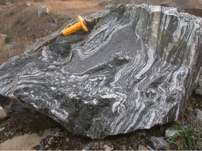


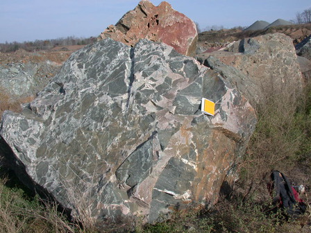


Opelt Quarry, Neillsville, Clark County, Wisconsin, USA