| Locality | Latitude | Longitude | Distance | Bearing |
|---|
| Yellow Cougar Prospect, Gold Mountain Mining District, Sevier County, Utah, USA | 38° 30' 29" N | 112° 17' 14" W | 0.5km (0.3 miles) | |
| B W and H Occurrence, Gold Mountain Mining District, Sevier County, Utah, USA | 38° 30' 59" N | 112° 17' 12" W | 0.5km (0.3 miles) | |
| North Star Occurrence, Henry Mining District, Antelope Range, Sevier County, Utah, USA | 38° 31' 22" N | 112° 16' 54" W | 1.3km (0.8 miles) | |
| Pittsburg Mine, Marysvale Mining District, Piute County, Utah, USA | 38° 30' 24" N | 112° 16' 27" W | 1.4km (0.9 miles) | |
| Winkelman Mine (Copper Butte Group), Marysvale Mining District, Piute County, Utah, USA | 38° 29' 39" N | 112° 17' 33" W | 2.0km (1.2 miles) | |
| Moffat Occurrence, Gold Mountain Mining District (Kimberly Mining District), Deer Creek, Piute County, Utah, USA | 38° 29' 35" N | 112° 17' 24" W | 2.1km (1.3 miles) | |
| Copper Butte Mine, Marysvale Mining District, Piute County, Utah, USA | 38° 29' 34" N | 112° 17' 51" W | 2.3km (1.4 miles) | |
| Pittsburgh, Gold Mountain Mining District, Sevier County, Utah, USA | 38° 30' 11" N | 112° 15' 39" W | 2.6km (1.6 miles) | |
| Grey Eagle Nos. 2; 7; 11 and 12 Occurrence, Piute County, Utah, USA | 38° 28' 59" N | 112° 17' 59" W | 3.3km (2.1 miles) | |
| Mickey No. 2 Occurrence, Henry Mining District, Antelope Range, Sevier County, Utah, USA | 38° 32' 15" N | 112° 15' 45" W | 3.6km (2.3 miles) | |
| Glenn Mine Potts Fraction, Marysvale Mining District, Piute County, Utah, USA | 38° 30' 0" N | 112° 15' 0" W | 3.7km (2.3 miles) | |
| Big Star Deposit (Wilson), Henry Mining District, Antelope Range, Sevier County, Utah, USA | 38° 31' 13" N | 112° 14' 48" W | 3.8km (2.4 miles) | |
| East Slope No. 2 prospect, Marysvale Mining District, Piute County, Utah, USA | 38° 30' 29" N | 112° 14' 38" W | 3.9km (2.4 miles) | |
| East Slope Mine, Gold Mountain Mining District, Sevier County, Utah, USA | 38° 30' 6" N | 112° 14' 38" W | 4.1km (2.5 miles) | |
| West End Prospect, Marysvale Mining District, Piute County, Utah, USA | 38° 29' 45" N | 112° 14' 47" W | 4.1km (2.6 miles) | |
| Alum King Occurrence (Big Star), Henry Mining District, Antelope Range, Sevier County, Utah, USA | 38° 31' 22" N | 112° 14' 35" W | 4.2km (2.6 miles) | |
| Antelope Group, Deer Trail, Sevier County, Utah, USA | 38° 31' 0" N | 112° 14' 30" W | 4.2km (2.6 miles) | |
| West End 2 Prospect, Marysvale Mining District, Piute County, Utah, USA | 38° 29' 30" N | 112° 14' 56" W | 4.2km (2.6 miles) | |
| Sunnyside shaft, Marysvale Mining District, Piute County, Utah, USA | 38° 29' 59" N | 112° 14' 32" W | 4.3km (2.7 miles) | |
| Badger Prospect, Gold Mountain Mining District, Sevier County, Utah, USA | 38° 30' 10" N | 112° 14' 29" W | 4.3km (2.7 miles) | |
| Badger Prospect, Henry Mining District (Durkee Mining District), Antelope Range, Piute County, Utah, USA | 38° 30' 10" N | 112° 14' 29" W | 4.3km (2.7 miles) | |
| Pe-G Mine, Marysvale Mining District, Piute County, Utah, USA | 38° 29' 26" N | 112° 14' 48" W | 4.4km (2.7 miles) | |
| Cedar Hills Prospect, Marysvale Mining District, Piute County, Utah, USA | 38° 30' 34" N | 112° 14' 20" W | 4.4km (2.7 miles) | |
| J & L Occurrence, Gold Mountain Mining District, Sevier County, Utah, USA | 38° 30' 2" N | 112° 14' 26" W | 4.4km (2.7 miles) | |
| Antelope Canyon Prospect, Henry Mining District, Antelope Range, Sevier County, Utah, USA | 38° 31' 10" N | 112° 14' 21" W | 4.4km (2.7 miles) | |
| Sunny Slope Occurrence, Henry Mining District (Durkee Mining District), Antelope Range, Piute County, Utah, USA | 38° 29' 17" N | 112° 14' 54" W | 4.4km (2.8 miles) | |
| Canary Claims, Gold Mountain Mining District (Kimberly Mining District), Deer Creek, Piute County, Utah, USA | 38° 29' 35" N | 112° 20' 3" W | 4.5km (2.8 miles) | |
| Plainview Prospect, Marysvale Mining District, Piute County, Utah, USA | 38° 29' 29" N | 112° 14' 38" W | 4.6km (2.8 miles) | |
| Unnamed Bixbyite occurrence, Marysvale Mining District, Piute County, Utah, USA | 38° 29' 13" N | 112° 14' 50" W | 4.6km (2.8 miles) | |
| Carson Occurrence (Plainview; Yankee Star), Henry Mining District (Durkee Mining District), Antelope Range, Piute County, Utah, USA | 38° 29' 35" N | 112° 14' 27" W | 4.7km (2.9 miles) | |


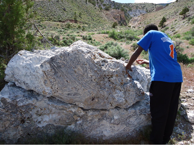


Unnamed Bixbyite occurrence, Marysvale Mining District, Piute County, Utah, USA