| Locality | Latitude | Longitude | Distance | Bearing |
|---|
| Jamesonite Prospect, Rochester Mining District, Pershing County, Nevada, USA | 40° 15' 35" N | 118° 9' 0" W | 2.8km (1.7 miles) | |
| Relief mine (Batavia and Pacific mine), Antelope Springs Mining District, Pershing County, Nevada, USA | 40° 12' 52" N | 118° 9' 9" W | 2.9km (1.8 miles) | |
| Alpine mine, Antelope Springs Mining District, Pershing County, Nevada, USA | 40° 13' 37" N | 118° 5' 45" W | 3.5km (2.2 miles) | |
| Packard Hill, Rochester Mining District, Pershing County, Nevada, USA | 40° 15' 43" N | 118° 9' 46" W | 3.6km (2.2 miles) | |
| Limestone Occurrence (MRDS10222083), Antelope Springs Mining District, Pershing County, Nevada, USA | 40° 12' 16" N | 118° 8' 24" W | 3.7km (2.3 miles) | |
| Gold Occurrence (MRDS10271155), Pershing County, Nevada, USA | 40° 14' 59" N | 118° 5' 41" W | 3.7km (2.3 miles) | |
| Unnamed prospect, Cow Canyon, Antelope Springs Mining District, Pershing County, Nevada, USA | 40° 12' 43" N | 118° 6' 20" W | 3.8km (2.3 miles) | |
| Tungsten Occurrence (MRDS10125275), Rochester Mining District, Pershing County, Nevada, USA | 40° 16' 21" N | 118° 8' 14" W | 3.9km (2.4 miles) | |
| Enterprise Mine, Spring Valley Mining District, Humboldt Range, Pershing County, Nevada, USA | 40° 15' 57" N | 118° 6' 10" W | 4.2km (2.6 miles) | |
| Silver Dike mine, Antelope Springs Mining District, Pershing County, Nevada, USA | 40° 12' 34" N | 118° 6' 3" W | 4.3km (2.6 miles) | |
| Troy Canyon placers, Spring Valley Mining District, Humboldt Range, Pershing County, Nevada, USA | 40° 15' 39" N | 118° 5' 42" W | 4.3km (2.7 miles) | |
| Limestone prospect (MRDS10042579), Antelope Springs Mining District, Pershing County, Nevada, USA | 40° 12' 6" N | 118° 9' 37" W | 4.5km (2.8 miles) | |
| Troy Canyon prospect, Spring Valley Mining District, Humboldt Range, Pershing County, Nevada, USA | 40° 16' 8" N | 118° 6' 2" W | 4.6km (2.9 miles) | |
| Nevada Packard mine, Independence Hill, Rochester Mining District, Pershing County, Nevada, USA | 40° 15' 41" N | 118° 10' 47" W | 4.6km (2.9 miles) | |
| Cow Canyon, Antelope Springs Mining District, Pershing County, Nevada, USA | 40° 11' 57" N | 118° 6' 47" W | 4.7km (2.9 miles) | |
| Bohannon mine, Antelope Springs Mining District, Pershing County, Nevada, USA | 40° 12' 15" N | 118° 10' 10" W | 4.7km (2.9 miles) | |
| Silver Occurrence (MRDS10150090), Antelope Springs Mining District, Pershing County, Nevada, USA | 40° 12' 39" N | 118° 5' 24" W | 4.8km (3.0 miles) | |
| Limestone Occurrence (MRDS10198431), Antelope Springs Mining District, Pershing County, Nevada, USA | 40° 12' 7" N | 118° 5' 53" W | 5.0km (3.1 miles) | |
| Nenzel Hill, Rochester Mining District, Pershing County, Nevada, USA | 40° 16' 59" N | 118° 9' 14" W | 5.3km (3.3 miles) | |
| Pinite Mine, Spring Valley Mining District, Humboldt Range, Pershing County, Nevada, USA | 40° 15' 25" N | 118° 4' 36" W | 5.4km (3.4 miles) | |
| Unnamed limestone prospect, Antelope Springs Mining District, Pershing County, Nevada, USA | 40° 14' 19" N | 118° 4' 14" W | 5.5km (3.4 miles) | |
| Limestone prospect (1), Antelope Springs Mining District, Pershing County, Nevada, USA | 40° 11' 40" N | 118° 10' 4" W | 5.5km (3.4 miles) | |
| Nenzel Crown Point Mines, Nenzel Hill, Rochester Mining District, Pershing County, Nevada, USA | 40° 17' 10" N | 118° 8' 46" W | 5.5km (3.4 miles) | |
| Humboldt Range (Limestone Prospect), Antelope Springs Mining District, Pershing County, Nevada, USA | 40° 14' 14" N | 118° 4' 13" W | 5.5km (3.4 miles) | |
| Silver Occurrence (MRDS10271692), Pershing County, Nevada, USA | 40° 16' 35" N | 118° 5' 37" W | 5.6km (3.5 miles) | |
| Pacific Matchless Mine, Spring Valley Mining District, Humboldt Range, Pershing County, Nevada, USA | 40° 17' 12" N | 118° 7' 13" W | 5.6km (3.5 miles) | |
| Relief Canyon Mine, Relief Canyon, Antelope Springs Mining District, Pershing County, Nevada, USA | 40° 12' 0" N | 118° 11' 0" W | 5.8km (3.6 miles) | |
| Rochester mines, Nenzel Hill, Rochester Mining District, Pershing County, Nevada, USA | 40° 17' 10" N | 118° 9' 38" W | 5.8km (3.6 miles) | |
| Limestone prospect (2), Antelope Springs Mining District, Pershing County, Nevada, USA | 40° 12' 15" N | 118° 4' 49" W | 5.9km (3.7 miles) | |
| South American Canyon placers, Spring Valley Mining District, Humboldt Range, Pershing County, Nevada, USA | 40° 17' 4" N | 118° 6' 1" W | 6.0km (3.7 miles) | |

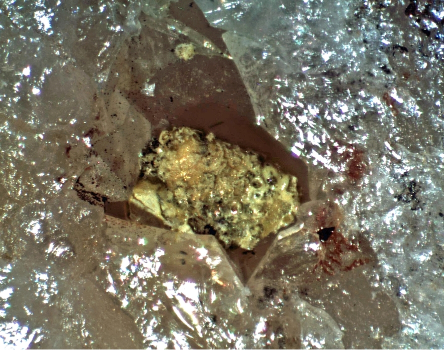


Silver Dike mine, Antelope Springs Mining District, Pershing County, Nevada, USA