| Locality | Latitude | Longitude | Distance | Bearing |
|---|
| Henry Tin Occurrence, Keystone Mining District, Pennington County, South Dakota, USA | 43° 53' 44" N | 103° 25' 11" W | 0.4km (0.3 miles) | |
| Holy Terror Mine, Keystone Gold Mining District, Pennington County, South Dakota, USA | 43° 53' 51" N | 103° 25' 13" W | 0.5km (0.3 miles) | |
| Peerless Mine, Keystone, Keystone Mining District, Pennington County, South Dakota, USA | 43° 53' 25" N | 103° 25' 9" W | 0.6km (0.4 miles) | |
| Gold Hill Lode Occurrence, Keystone Gold Mining District, Pennington County, South Dakota, USA | 43° 53' 37" N | 103° 24' 59" W | 0.6km (0.4 miles) | |
| Red Dog Mine, Keystone Mining District, Pennington County, South Dakota, USA | 43° 53' 44" N | 103° 24' 59" W | 0.7km (0.4 miles) | |
| Lucky Boy Mine (Luck Boy Mine), Keystone Gold Mining District, Pennington County, South Dakota, USA | 43° 53' 45" N | 103° 24' 59" W | 0.7km (0.4 miles) | |
| Columbia Mine (Maiden Mine), Keystone, Keystone Gold Mining District, Pennington County, South Dakota, USA | 43° 53' 53" N | 103° 25' 2" W | 0.8km (0.5 miles) | |
| Keystone Tunnel, Pennington County, South Dakota, USA | 43° 54' 4" N | 103° 25' 48" W | 0.9km (0.6 miles) | |
| Juniper Mine, Keystone Gold Mining District, Pennington County, South Dakota, USA | 43° 54' 13" N | 103° 25' 48" W | 1.2km (0.7 miles) | |
| Sitting Bull pegmatite, Keystone, Keystone Mining District, Pennington County, South Dakota, USA | 43° 54' 2" N | 103° 26' 12" W | 1.2km (0.8 miles) | |
| Highway 16A, Keystone Mining District, Pennington County, South Dakota, USA | 43° 54' 15" N | 103° 25' 50" W | 1.2km (0.8 miles) | |
| Grand Island Group, Keystone Gold Mining District, Pennington County, South Dakota, USA | 43° 54' 18" N | 103° 25' 45" W | 1.3km (0.8 miles) | |
| Bismark-Ida Florence Groups, Keystone Gold Mining District, Pennington County, South Dakota, USA | 43° 54' 20" N | 103° 25' 45" W | 1.4km (0.8 miles) | |
| Dan Patch West Mine, Keystone, Keystone Mining District, Pennington County, South Dakota, USA | 43° 52' 59" N | 103° 25' 59" W | 1.4km (0.8 miles) | |
| Dan Patch Mine, Keystone, Keystone Mining District, Pennington County, South Dakota, USA | 43° 53' 39" N | 103° 26' 30" W | 1.4km (0.8 miles) | |
| Egyptian Group, Keystone Gold Mining District, Pennington County, South Dakota, USA | 43° 54' 22" N | 103° 25' 13" W | 1.4km (0.9 miles) | |
| Nathaniel Pope, Keystone Gold Mining District, Pennington County, South Dakota, USA | 43° 54' 22" N | 103° 25' 8" W | 1.5km (0.9 miles) | |
| Big Hit Mine, Keystone Gold Mining District, Pennington County, South Dakota, USA | 43° 53' 11" N | 103° 24' 32" W | 1.5km (0.9 miles) | |
| Nickel Plate Mine, Keystone, Keystone Mining District, Pennington County, South Dakota, USA | 43° 53' 0" N | 103° 24' 44" W | 1.5km (0.9 miles) | |
| Etta Mine, Keystone, Keystone Mining District, Pennington County, South Dakota, USA | 43° 52' 50" N | 103° 25' 8" W | 1.6km (1.0 miles) | |
| Monte Carlo Prospect, Keystone Mining District, Pennington County, South Dakota, USA | 43° 52' 46" N | 103° 25' 24" W | 1.6km (1.0 miles) | |
| Legal Tender Group, Keystone Gold Mining District, Pennington County, South Dakota, USA | 43° 53' 55" N | 103° 26' 36" W | 1.6km (1.0 miles) | |
| Expectation Pegmatite, Keystone Mining District, Pennington County, South Dakota, USA | 43° 52' 36" N | 103° 25' 24" W | 1.9km (1.2 miles) | |
| Edison Mine, Keystone, Keystone Mining District, Pennington County, South Dakota, USA | 43° 53' 2" N | 103° 24' 18" W | 1.9km (1.2 miles) | |
| Holy Smoke Mine, Keystone Mining District, Pennington County, South Dakota, USA | 43° 54' 38" N | 103° 26' 20" W | 2.2km (1.4 miles) | |
| White Cap Mine, Keystone, Keystone Mining District, Pennington County, South Dakota, USA | 43° 52' 45" N | 103° 24' 20" W | 2.2km (1.4 miles) | |
| Big Shot Occurrence, Keystone Mining District, Pennington County, South Dakota, USA | 43° 53' 43" N | 103° 27' 16" W | 2.4km (1.5 miles) | |
| Hugo Mine, Keystone, Keystone Mining District, Pennington County, South Dakota, USA | 43° 52' 15" N | 103° 25' 29" W | 2.5km (1.6 miles) | |
| Confidence No. 1 Lode, Keystone Mining District, Pennington County, South Dakota, USA | 43° 52' 43" N | 103° 24' 0" W | 2.6km (1.6 miles) | |
| Plate Mica Prospect, Keystone Mining District, Pennington County, South Dakota, USA | 43° 54' 6" N | 103° 27' 23" W | 2.7km (1.7 miles) | |
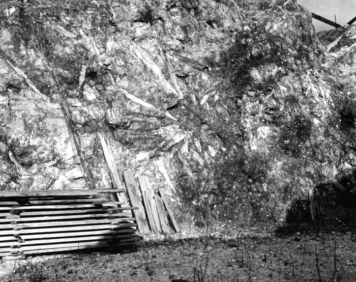


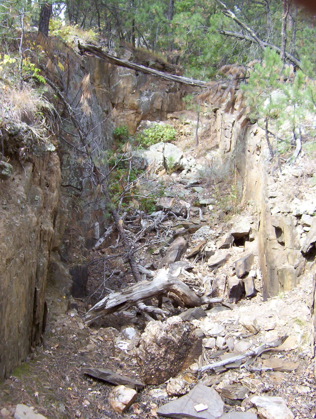


Etta Mine, Keystone, Keystone Mining District, Pennington County, South Dakota, USA