| Locality | Latitude | Longitude | Distance | Bearing |
|---|
| Huard mine, Saint-Joseph-de-Coleraine, Les Appalaches RCM, Chaudière-Appalaches, Québec, Canada | 45° 59' 54" N | 71° 17' 43" W | 0.9km (0.6 miles) | |
| Gagné mine, Saint-Joseph-de-Coleraine, Les Appalaches RCM, Chaudière-Appalaches, Québec, Canada | 46° 0' 3" N | 71° 17' 22" W | 1.0km (0.6 miles) | |
| Star Chrome Mine, Saint-Joseph-de-Coleraine, Les Appalaches RCM, Chaudière-Appalaches, Québec, Canada | 45° 59' 45" N | 71° 16' 2" W | 1.7km (1.0 miles) | |
| Ward-Chromore mine, Saint-Joseph-de-Coleraine, Les Appalaches RCM, Chaudière-Appalaches, Québec, Canada | 45° 58' 28" N | 71° 18' 15" W | 2.3km (1.4 miles) | |
| American Chrome Mines, Saint-Joseph-de-Coleraine, Les Appalaches RCM, Chaudière-Appalaches, Québec, Canada | 46° 0' 38" N | 71° 16' 24" W | 2.4km (1.5 miles) | |
| Colline Morin, Saint-Joseph-de-Coleraine, Les Appalaches RCM, Chaudière-Appalaches, Québec, Canada | 46° 0' 47" N | 71° 17' 11" W | 2.4km (1.5 miles) | |
| American Chrome pit, Saint-Joseph-de-Coleraine, Les Appalaches RCM, Chaudière-Appalaches, Québec, Canada | 46° 1' 5" N | 71° 17' 39" W | 3.0km (1.8 miles) | |
| Montréal Chrome pit (Montréal mine; Montréal-Coleraine mine; Paré pit; Black Lake Chrome quarry), Saint-Joseph-de-Coleraine, Les Appalaches RCM, Chaudière-Appalaches, Québec, Canada | 45° 59' 53" N | 71° 15' 2" W | 3.0km (1.8 miles) | |
| Lac Rond, Saint-Joseph-de-Coleraine, Les Appalaches RCM, Chaudière-Appalaches, Québec, Canada | 46° 1' 1" N | 71° 15' 2" W | 4.0km (2.5 miles) | |
| Caribou pit (Caribou mine), Saint-Joseph-de-Coleraine, Les Appalaches RCM, Chaudière-Appalaches, Québec, Canada | 46° 1' 8" N | 71° 19' 51" W | 4.5km (2.8 miles) | |
| Nadeau Hill mine, Saint-Joseph-de-Coleraine, Les Appalaches RCM, Chaudière-Appalaches, Québec, Canada | 45° 57' 38" N | 71° 19' 35" W | 4.5km (2.8 miles) | |
| Noël mine, Saint-Joseph-de-Coleraine, Les Appalaches RCM, Chaudière-Appalaches, Québec, Canada | 46° 1' 44" N | 71° 18' 57" W | 4.7km (2.9 miles) | |
| Reed-Bélanger mine (Bélanger mine), Saint-Joseph-de-Coleraine, Les Appalaches RCM, Chaudière-Appalaches, Québec, Canada | 46° 0' 38" N | 71° 20' 40" W | 4.8km (3.0 miles) | |
| Windsor mine, Saint-Joseph-de-Coleraine, Les Appalaches RCM, Chaudière-Appalaches, Québec, Canada | 45° 57' 19" N | 71° 19' 23" W | 4.9km (3.0 miles) | |
| Hall chrome pit (Hall mine; Thetford quarry), Thetford Mines, Les Appalaches RCM, Chaudière-Appalaches, Québec, Canada | 46° 2' 18" N | 71° 16' 56" W | 5.2km (3.2 miles) | |
| Ward-Ross mine, Black Lake, Thetford Mines, Les Appalaches RCM, Chaudière-Appalaches, Québec, Canada | 46° 2' 7" N | 71° 19' 39" W | 5.7km (3.5 miles) | |
| Murphy Hill-Sud mine, Black Lake, Thetford Mines, Les Appalaches RCM, Chaudière-Appalaches, Québec, Canada | 46° 2' 8" N | 71° 19' 42" W | 5.8km (3.6 miles) | |
| Lemelin mine (Gray mine), Thetford Mines, Les Appalaches RCM, Chaudière-Appalaches, Québec, Canada | 46° 2' 38" N | 71° 16' 50" W | 5.8km (3.6 miles) | |
| Lambly-Nadeau mine (Victoria mine), Saint-Joseph-de-Coleraine, Les Appalaches RCM, Chaudière-Appalaches, Québec, Canada | 46° 1' 0" N | 71° 21' 24" W | 6.0km (3.7 miles) | |
| Fréchette mine, Saint-Joseph-de-Coleraine, Les Appalaches RCM, Chaudière-Appalaches, Québec, Canada | 46° 1' 17" N | 71° 21' 11" W | 6.0km (3.7 miles) | |
| Stewart mine, Thetford Mines, Les Appalaches RCM, Chaudière-Appalaches, Québec, Canada | 46° 2' 44" N | 71° 16' 53" W | 6.0km (3.7 miles) | |
| Provençal Hill mine (Collier pit), Saint-Joseph-de-Coleraine, Les Appalaches RCM, Chaudière-Appalaches, Québec, Canada | 46° 1' 5" N | 71° 21' 27" W | 6.1km (3.8 miles) | |
| Standard mine, Saint-Joseph-de-Coleraine, Les Appalaches RCM, Chaudière-Appalaches, Québec, Canada | 46° 1' 50" N | 71° 20' 41" W | 6.1km (3.8 miles) | |
| Greenshields mine (Greenshield mine; Bergeron mine; Croteau mine; Greenshield Extension), Saint-Joseph-de-Coleraine, Les Appalaches RCM, Chaudière-Appalaches, Québec, Canada | 46° 1' 8" N | 71° 21' 32" W | 6.2km (3.9 miles) | |
| Union mine (Southwark mine), Black Lake, Thetford Mines, Les Appalaches RCM, Chaudière-Appalaches, Québec, Canada | 46° 2' 26" N | 71° 19' 42" W | 6.3km (3.9 miles) | |
| Southwark Mine, Thetford Mines, Les Appalaches RCM, Chaudière-Appalaches, Québec, Canada | 46° 2' 39" N | 71° 19' 18" W | 6.4km (4.0 miles) | |
| Reed mine, Black Lake, Thetford Mines, Les Appalaches RCM, Chaudière-Appalaches, Québec, Canada | 46° 2' 58" N | 71° 19' 2" W | 6.8km (4.2 miles) | |
| Poudrier mine, Black Lake, Thetford Mines, Les Appalaches RCM, Chaudière-Appalaches, Québec, Canada | 46° 2' 57" N | 71° 19' 24" W | 6.9km (4.3 miles) | |
| British Canadian mine (B.C. 1 mine; B.C. 2 mine; Martin mine; Black Lake mine; American mine; Dauville mine), Black Lake, Thetford Mines, Les Appalaches RCM, Chaudière-Appalaches, Québec, Canada | 46° 2' 23" N | 71° 20' 44" W | 7.0km (4.3 miles) | |
| Maple Leaf mine, Black Lake, Thetford Mines, Les Appalaches RCM, Chaudière-Appalaches, Québec, Canada | 46° 3' 2" N | 71° 19' 27" W | 7.1km (4.4 miles) | |


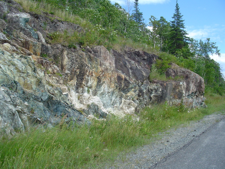


Reed-Bélanger mine, Saint-Joseph-de-Coleraine, Les Appalaches RCM, Chaudière-Appalaches, Québec, Canada