| Locality | Latitude | Longitude | Distance | Bearing |
|---|
| Cerreto Piano, Scansano, Grosseto Province, Tuscany, Italy | 42° 37' 17" N | 11° 21' 45" E | 7.8km (4.8 miles) | |
| Macchia Casella Mine, La Campigliola, Manciano, Grosseto Province, Tuscany, Italy | 42° 31' 42" N | 11° 30' 40" E | 8.9km (5.6 miles) | |
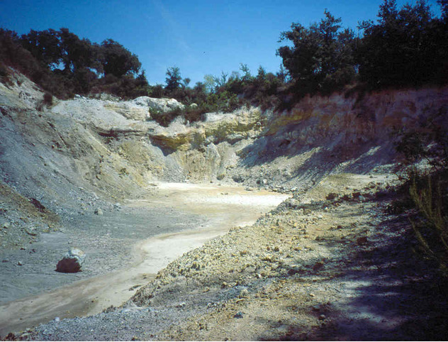
| Pereta Mine, Scansano, Grosseto Province, Tuscany, Italy | 42° 38' 35" N | 11° 21' 28" E | 9.3km (5.8 miles) | |
| La Campigliola, Manciano, Grosseto Province, Tuscany, Italy | 42° 31' 0" N | 11° 30' 0" E | 9.6km (6.0 miles) | |
| Saturnia, Manciano, Grosseto Province, Tuscany, Italy | 42° 40' 18" N | 11° 31' 26" E | 10.5km (6.5 miles) | |
| Pereta, Magliano in Toscana, Grosseto Province, Tuscany, Italy | 42° 38' 42" N | 11° 19' 18" E | 11.9km (7.4 miles) | |
| Montecchio Cave, Semproniano, Grosseto Province, Tuscany, Italy | 42° 42' 16" N | 11° 30' 25" E | 13.1km (8.1 miles) | |
| San Martino sul Fiora, Manciano, Grosseto Province, Tuscany, Italy | 42° 40' 20" N | 11° 35' 47" E | 14.7km (9.2 miles) | |
| Capita Mine, Capalbio, Grosseto Province, Tuscany, Italy | 42° 27' 50" N | 11° 29' 8" E | 14.9km (9.2 miles) | |
| Ponte San Pietro mineralisation, Ischia di Castro, Viterbo Province, Lazio, Italy | 42° 31' 23" N | 11° 36' 23" E | 15.1km (9.4 miles) | |
| Catabbio, Semproniano, Grosseto Province, Tuscany, Italy | 42° 42' 2" N | 11° 34' 9" E | 15.3km (9.5 miles) | |
| Catabbio-Fontanelle cinnabar deposit (Catabbio cinnabar deposit), Catabbio, Semproniano, Grosseto Province, Tuscany, Italy | 42° 42' 4" N | 11° 34' 15" E | 15.4km (9.6 miles) | |
| Tafone Mine, Manciano, Grosseto Province, Tuscany, Italy | 42° 28' 33" N | 11° 33' 16" E | 15.8km (9.8 miles) | |
| Poggio Bottinello, Pitigliano, Grosseto Province, Tuscany, Italy | 42° 35' 54" N | 11° 40' 45" E | 18.7km (11.6 miles) | |
| Cortevecchia Mine, Semproniano, Grosseto Province, Tuscany, Italy | 42° 44' 18" N | 11° 34' 53" E | 19.2km (11.9 miles) | |
| Montauto mine (Montauto deposit), Manciano, Grosseto Province, Tuscany, Italy | 42° 27' 35" N | 11° 35' 56" E | 19.3km (12.0 miles) | |
| Sorano tuff quarries, Sorano, Grosseto Province, Tuscany, Italy | 42° 40' 41" N | 11° 41' 59" E | 22.4km (13.9 miles) | |
| Morone Mine (Selvena Mine), Castell'Azzara, Grosseto Province, Tuscany, Italy | 42° 45' 19" N | 11° 37' 44" E | 23.1km (14.3 miles) | |
| Case Collina, Pitigliano, Grosseto Province, Tuscany, Italy | 42° 38' 32" N | 11° 43' 49" E | 23.5km (14.6 miles) | |
| Selva, Santa Fiora, Grosseto Province, Tuscany, Italy | 42° 47' 37" N | 11° 35' 58" E | 25.2km (15.7 miles) | |
| Monte Labbro I Mine, Roccalbegna, Grosseto Province, Tuscany, Italy | 42° 49' 5" N | 11° 31' 33" E | 25.6km (15.9 miles) | |
| Monte Labbro II Mine, Santa Fiora, Grosseto Province, Tuscany, Italy | 42° 49' 6" N | 11° 32' 4" E | 25.8km (16.0 miles) | |
| Banditella Mine, Arcidosso, Grosseto Province, Tuscany, Italy | 42° 49' 14" N | 11° 31' 49" E | 25.9km (16.1 miles) | |
| Mezzano (Lago di Mezzano), Valentano, Viterbo Province, Lazio, Italy | 42° 36' 42" N | 11° 46' 10" E | 26.2km (16.3 miles) | |
| Siele mine, Castell'Azzara, Grosseto Province, Tuscany, Italy | 42° 47' 18" N | 11° 39' 44" E | 27.6km (17.2 miles) | |
| Siele Mine (Siele - Carpine Mine), Piancastagnaio, Siena Province, Tuscany, Italy | 42° 47' 20" N | 11° 39' 44" E | 27.7km (17.2 miles) | |
| Le Solforate Mine (Solforate Rosselli Mine), Piancastagnaio, Siena Province, Tuscany, Italy | 42° 47' 51" N | 11° 38' 50" E | 27.7km (17.2 miles) | |
| Abetina-Argus Mine, Piancastagnaio, Siena Province, Tuscany, Italy | 42° 48' 7" N | 11° 38' 44" E | 28.0km (17.4 miles) | |
| Mt Saliette, Valentano, Viterbo Province, Lazio, Italy | 42° 33' 47" N | 11° 47' 48" E | 28.6km (17.8 miles) | |
| Southern Tuscany Volcanic Field, Grosseto Province, Tuscany, Italy | 42° 49' 59" N | 11° 34' 59" E | 28.6km (17.8 miles) | |


Pereta Mine, Scansano, Grosseto Province, Tuscany, Italy