| Locality | Latitude | Longitude | Distance | Bearing |
|---|
| Wieliczka Mine, Wieliczka County, Lesser Poland Voivodeship, Poland | 49° 59' 0" N | 20° 3' 14" E | 2.6km (1.6 miles) | |
| Kurdwanów, Podgórze, Kraków City County, Lesser Poland Voivodeship, Poland | 50° 0' 47" N | 19° 57' 28" E | 7.9km (4.9 miles) | |
| Zakrzówek, Dębniki, Kraków City County, Lesser Poland Voivodeship, Poland | 50° 2' 15" N | 19° 54' 36" E | 11.9km (7.4 miles) | |
| Ruczaj, Dębniki, Kraków City County, Lesser Poland Voivodeship, Poland | 50° 1' 4" N | 19° 53' 30" E | 12.7km (7.9 miles) | |
| Będkowska Cu-Au deposit, Będkowska Valley, Kraków City County, Lesser Poland Voivodeship, Poland | 50° 7' 0" N | 19° 56' 59" E | 15.0km (9.3 miles) | |
| Tyniec, Dębniki, Kraków City County, Lesser Poland Voivodeship, Poland | 50° 0' 29" N | 19° 49' 0" E | 18.0km (11.2 miles) | |
| Posądza mine, Proszowice County, Lesser Poland Voivodeship, Poland | 50° 10' 51" N | 20° 13' 53" E | 22.8km (14.2 miles) | |
| Zabierzów quarry, Kraków County, Lesser Poland Voivodeship, Poland | 50° 6' 49" N | 19° 47' 15" E | 23.4km (14.5 miles) | |
| Bochnia Mine, Bochnia, Bochnia County, Lesser Poland Voivodeship, Poland | 49° 58' 59" N | 20° 25' 0" E | 25.0km (15.6 miles) | |
| Murowianka gypsum deposit, Bochnia, Bochnia County, Lesser Poland Voivodeship, Poland | 49° 57' 52" N | 20° 26' 48" E | 27.5km (17.1 miles) | |
| Skrzydlna, Gmina Dobra, Limanowa County, Lesser Poland Voivodeship, Poland | 49° 44' 53" N | 20° 10' 1" E | 29.4km (18.3 miles) | |
| Wisła deposit, Czernichów, Gmina Czernichów, Kraków County, Lesser Poland Voivodeship, Poland | 49° 58' 50" N | 19° 39' 22" E | 29.6km (18.4 miles) | |
| Będkowska Dolina borehole, Będkowice, Gmina Wielka Wieś, Kraków City County, Lesser Poland Voivodeship, Poland | 50° 10' 18" N | 19° 44' 28" E | 29.8km (18.5 miles) | |
| Szklarka valley, Żary, Gmina Krzeszowice, Kraków County, Lesser Poland Voivodeship, Poland | 50° 9' 41" N | 19° 42' 29" E | 31.0km (19.3 miles) | |
| Dubie, Dębnik-Dubie area, Gmina Krzeszowice, Kraków County, Lesser Poland Voivodeship, Poland | 50° 9' 1" N | 19° 41' 31" E | 31.3km (19.5 miles) | |
| Zalas quarry, Gmina Krzeszowice, Kraków County, Lesser Poland Voivodeship, Poland | 50° 5' 3" N | 19° 38' 39" E | 31.5km (19.6 miles) | |
| Dębnik-Dubie area, Gmina Krzeszowice, Kraków County, Lesser Poland Voivodeship, Poland | 50° 9' 24" N | 19° 40' 52" E | 32.4km (20.1 miles) | |
| Niedźwiedzia Góra quarry, Gmina Krzeszowice, Kraków County, Lesser Poland Voivodeship, Poland | 50° 6' 3" N | 19° 38' 11" E | 32.6km (20.3 miles) | |
| Czatkowice quarry, Krzeszowice, Gmina Krzeszowice, Kraków County, Lesser Poland Voivodeship, Poland | 50° 9' 34" N | 19° 38' 33" E | 34.9km (21.7 miles) | |
| Rudno, Gmina Krzeszowice, Kraków County, Lesser Poland Voivodeship, Poland | 50° 6' 7" N | 19° 34' 34" E | 36.7km (22.8 miles) | |
| Poręba-Żegoty, Gmina Alwernia, Chrzanów County, Lesser Poland Voivodeship, Poland | 50° 2' 59" N | 19° 33' 16" E | 37.0km (23.0 miles) | |
| Miękinia, Gmina Krzeszowice, Kraków County, Lesser Poland Voivodeship, Poland | 50° 9' 47" N | 19° 35' 21" E | 38.4km (23.9 miles) | |
| Łętowe, Limanowa County, Lesser Poland Voivodeship, Poland | 49° 39' 5" N | 20° 9' 29" E | 39.8km (24.7 miles) | |
| Regulice quarry, Gmina Alwernia, Chrzanów County, Lesser Poland Voivodeship, Poland | 50° 4' 37" N | 19° 30' 58" E | 40.2km (25.0 miles) | |
| Kwaczała, Gmina Alwernia, Chrzanów County, Lesser Poland Voivodeship, Poland | 50° 4' 0" N | 19° 29' 44" E | 41.4km (25.8 miles) | |
| Trzebinia waste dump, Trzebinia smelting plant, Gmina Trzebinia, Chrzanów County, Lesser Poland Voivodeship, Poland | 50° 9' 13" N | 19° 27' 45" E | 46.3km (28.7 miles) | |
| Zinc smelter, Gmina Trzebinia, Chrzanów County, Lesser Poland Voivodeship, Poland | 50° 9' 19" N | 19° 27' 36" E | 46.5km (28.9 miles) | |
| Petroleum refinery, Gmina Trzebinia, Chrzanów County, Lesser Poland Voivodeship, Poland | 50° 9' 45" N | 19° 26' 49" E | 47.6km (29.6 miles) | |
| Artur mine, Myślachovice, Gmina Trzebinia, Chrzanów County, Lesser Poland Voivodeship, Poland | 50° 11' 26" N | 19° 26' 50" E | 48.9km (30.4 miles) | |
| Trzebionka mine, Gmina Trzebinia, Chrzanów County, Lesser Poland Voivodeship, Poland | 50° 10' 1" N | 19° 25' 53" E | 48.9km (30.4 miles) | |


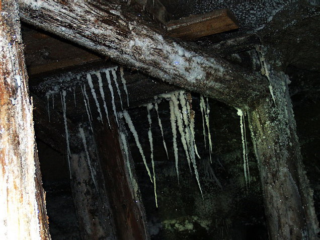

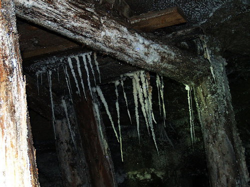


Wieliczka Mine, Wieliczka County, Lesser Poland Voivodeship, Poland