| Locality | Latitude | Longitude | Distance | Bearing |
|---|
| Grosvenor Mine, Leadville, Bligh Co., New South Wales, Australia | 32° 1' 16" S | 149° 32' 33" E | 1.2km (0.7 miles) | |
| Extended Mine, Leadville, Bligh Co., New South Wales, Australia | 32° 1' 14" S | 149° 32' 24" E | 1.3km (0.8 miles) | |
| Mount Stewart Mine, Leadville, Bligh Co., New South Wales, Australia | 32° 1' 10" S | 149° 32' 29" E | 1.4km (0.9 miles) | |
| Latimer Mine, Leadville, Bligh Co., New South Wales, Australia | 32° 1' 9" S | 149° 32' 44" E | 1.4km (0.9 miles) | |
| Leadville, Bligh Co., New South Wales, Australia | 32° 0' 54" S | 149° 33' 3" E | 2.0km (1.3 miles) | |
| Mount Scott Mine, Leadville, Bligh Co., New South Wales, Australia | 32° 1' 59" S | 149° 30' 58" E | 2.5km (1.6 miles) | |
| Tallawang magnetite deposit, Bligh Co., New South Wales, Australia | 32° 14' 29" S | 149° 26' 39" E | 25.1km (15.6 miles) | |
| Tallawang South prospect, Bligh Co., New South Wales, Australia | 32° 14' 47" S | 149° 27' 22" E | 25.2km (15.7 miles) | |
| Tallawang Southern Orebody, Bligh Co., New South Wales, Australia | 32° 14' 43" S | 149° 26' 42" E | 25.5km (15.8 miles) | |
| Ulan West underground mine, Ulan Coal Mine Complex, Bligh Co., New South Wales, Australia | 32° 14' 16" S | 149° 43' 30" E | 28.6km (17.8 miles) | |
| Ulan Underground Mine, Ulan Coal Mine Complex, Bligh Co., New South Wales, Australia | 32° 15' 21" S | 149° 45' 55" E | 32.6km (20.2 miles) | |
| Ulan Coal Mine Complex, Bligh Co., New South Wales, Australia | 32° 16' 1" S | 149° 45' 35" E | 33.2km (20.6 miles) | |
| Moolarben underground mine No.4, Moolarben Coal Complex, Phillip Co., New South Wales, Australia | 32° 15' 54" S | 149° 46' 59" E | 34.4km (21.4 miles) | |
| Moolarben Coal Complex, Phillip Co., New South Wales, Australia | 32° 16' 37" S | 149° 46' 17" E | 34.8km (21.6 miles) | |
| Moolarben Open Cut No.1, Moolarben Coal Complex, Phillip Co., New South Wales, Australia | 32° 17' 16" S | 149° 45' 35" E | 35.1km (21.8 miles) | |
| Moolarben underground mine No.1, Moolarben Coal Complex, Phillip Co., New South Wales, Australia | 32° 16' 16" S | 149° 47' 11" E | 35.2km (21.8 miles) | |
| Moolarben Open Cut No.4, Moolarben Coal Complex, Phillip Co., New South Wales, Australia | 32° 18' 6" S | 149° 47' 14" E | 37.8km (23.5 miles) | |
| Moolarben underground mine No.2, Moolarben Coal Complex, Phillip Co., New South Wales, Australia | 32° 18' 56" S | 149° 46' 19" E | 38.2km (23.8 miles) | |
| Moolarben Open Cut No.2, Moolarben Coal Complex, Phillip Co., New South Wales, Australia | 32° 19' 0" S | 149° 46' 13" E | 38.3km (23.8 miles) | |
| Moolarben Open Cut No.3, Moolarben Coal Complex, Phillip Co., New South Wales, Australia | 32° 19' 38" S | 149° 46' 29" E | 39.4km (24.5 miles) | |
| Coolah Tops Road, Coolah Tops, Napier Co., New South Wales, Australia | 31° 45' 9" S | 149° 53' 17" E | 45.0km (28.0 miles) | |
| Two Mile Flat, Mudgee, Wellington Co., New South Wales, Australia | 32° 24' 24" S | 149° 21' 33" E | 45.1km (28.0 miles) | |
| Wilpinjong Mine, Phillip Co., New South Wales, Australia | 32° 19' 54" S | 149° 53' 4" E | 46.3km (28.8 miles) | |
| Willy Wally Gully, Merriwa, Brisbane Co., New South Wales, Australia | 32° 7' 1" S | 150° 5' 1" E | 51.8km (32.2 miles) | |
| Bundella, Pottinger Co., New South Wales, Australia | 31° 40' 5" S | 149° 54' 46" E | 53.4km (33.2 miles) | |
| Krui Valley, Buckland Co., New South Wales, Australia | 32° 5' 29" S | 150° 6' 50" E | 54.2km (33.7 miles) | |
| Mudgee, Wellington Co., New South Wales, Australia | 32° 33' 55" S | 149° 36' 2" E | 59.6km (37.0 miles) | |
| Buckaroo Quarry, Mount Buckaroo, Phillip Co., New South Wales, Australia | 32° 34' 5" S | 149° 40' 18" E | 60.8km (37.8 miles) | |
| Mount Buckaroo, Phillip Co., New South Wales, Australia | 32° 35' 18" S | 149° 41' 7" E | 63.3km (39.4 miles) | |
| Murdoch Quarry, Mount Buckaroo, Phillip Co., New South Wales, Australia | 32° 35' 39" S | 149° 42' 33" E | 64.5km (40.1 miles) | |
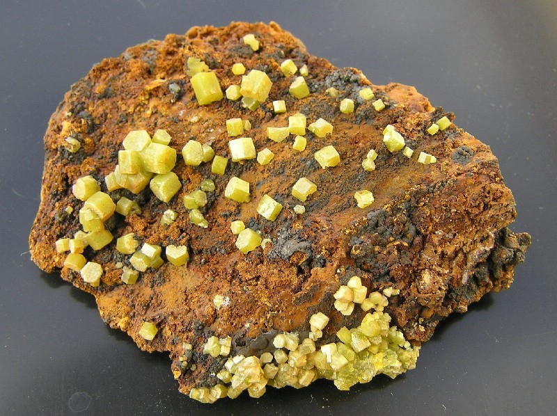


Mount Stewart Mine, Leadville, Bligh Co., New South Wales, Australia