| Locality | Latitude | Longitude | Distance | Bearing |
|---|
| Austre Mørketjønn 2 Feldspar Quarry, Austre Mørketjønn, Iveland, Agder, Norway | 58° 32' 15" N | 7° 51' 56" E | 0.6km (0.4 miles) | |
| Austre Mørketjønn 1 Feldspar Quarry, Austre Mørketjønn, Iveland, Agder, Norway | 58° 32' 15" N | 7° 51' 56" E | 0.6km (0.4 miles) | |
| Li Roadside Exposures, Li, Evje og Hornnes, Agder, Norway | 58° 32' 0" N | 7° 51' 2" E | 0.6km (0.4 miles) | |
| Rubbeheia Pegmatite Outcrop, Austre Mørketjønn, Iveland, Agder, Norway | 58° 32' 13" N | 7° 52' 11" E | 0.6km (0.4 miles) | |
| Li, Evje og Hornnes, Agder, Norway | 58° 31' 45" N | 7° 51' 9" E | 0.7km (0.4 miles) | |
| Li 06 Feldspar Quarry, Li, Evje og Hornnes, Agder, Norway | 58° 31' 37" N | 7° 51' 30" E | 0.7km (0.4 miles) | |
| Austre Mørketjønn, Iveland, Agder, Norway | 58° 32' 19" N | 7° 52' 1" E | 0.7km (0.4 miles) | |
| Li 07 Feldspar Quarry, Li, Evje og Hornnes, Agder, Norway | 58° 31' 38" N | 7° 51' 22" E | 0.7km (0.4 miles) | |
| Li 10 Feldspar Prospect, Li, Evje og Hornnes, Agder, Norway | 58° 31' 34" N | 7° 51' 32" E | 0.8km (0.5 miles) | |
| Li 09 Feldspar Prospect, Li, Evje og Hornnes, Agder, Norway | 58° 31' 34" N | 7° 51' 30" E | 0.8km (0.5 miles) | |
| Li 02 Feldspar Quarry (Li gruve), Li, Evje og Hornnes, Agder, Norway | 58° 31' 40" N | 7° 51' 8" E | 0.8km (0.5 miles) | |
| Li 05 Feldspar Quarry, Li, Evje og Hornnes, Agder, Norway | 58° 31' 56" N | 7° 50' 52" E | 0.8km (0.5 miles) | |
| Li 04 Feldspar Quarry (Liheia), Li, Evje og Hornnes, Agder, Norway | 58° 31' 33" N | 7° 51' 27" E | 0.8km (0.5 miles) | |
| Lauvland 08 Feldspar Quarry, Skavdalen, Lauvland, Evje og Hornnes, Agder, Norway | 58° 32' 23" N | 7° 51' 21" E | 0.8km (0.5 miles) | |
| Lauvland 07 Feldspar Quarry, Skavdalen, Lauvland, Evje og Hornnes, Agder, Norway | 58° 32' 24" N | 7° 51' 21" E | 0.9km (0.5 miles) | |
| Li 08 Feldspar Quarry, Li, Evje og Hornnes, Agder, Norway | 58° 31' 32" N | 7° 51' 24" E | 0.9km (0.5 miles) | |
| Lauvland 20 Feldspar Prospect, Lauvland, Evje og Hornnes, Agder, Norway | 58° 32' 24" N | 7° 51' 17" E | 0.9km (0.5 miles) | |
| Lauvland 21 Feldspar Prospect, Skavdalen, Lauvland, Evje og Hornnes, Agder, Norway | 58° 32' 24" N | 7° 51' 17" E | 0.9km (0.5 miles) | |
| Lauvland 01 Feldspar Quarry (Skavdalen), Skavdalen, Lauvland, Evje og Hornnes, Agder, Norway | 58° 32' 24" N | 7° 51' 15" E | 0.9km (0.6 miles) | |
| Skavdalen, Lauvland, Evje og Hornnes, Agder, Norway | 58° 32' 24" N | 7° 51' 17" E | 0.9km (0.6 miles) | |
| Lauvland 09 Feldspar Quarry, Lauvland, Evje og Hornnes, Agder, Norway | 58° 32' 27" N | 7° 51' 32" E | 0.9km (0.6 miles) | |
| Lauvland 19 Feldspar Quarry, Skavdalen, Lauvland, Evje og Hornnes, Agder, Norway | 58° 32' 26" N | 7° 51' 13" E | 1.0km (0.6 miles) | |
| Litjønn Nickel Prospect, Iveland, Agder, Norway | 58° 31' 38" N | 7° 52' 29" E | 1.0km (0.6 miles) | |
| Lauvland 11 Feldspar Quarry, Lauvland, Evje og Hornnes, Agder, Norway | 58° 32' 32" N | 7° 51' 35" E | 1.0km (0.6 miles) | |
| Hellebekkdalen Nickel Deposit, Iveland, Agder, Norway | 58° 31' 30" N | 7° 52' 23" E | 1.1km (0.7 miles) | |
| Lauvland 10 Feldspar Quarry, Lauvland, Evje og Hornnes, Agder, Norway | 58° 32' 35" N | 7° 51' 35" E | 1.1km (0.7 miles) | |
| Li 01 Feldspar Quarry (Likleiven), Li, Evje og Hornnes, Agder, Norway | 58° 31' 25" N | 7° 51' 11" E | 1.1km (0.7 miles) | |
| Li 11 Feldspar Quarry, Li, Evje og Hornnes, Agder, Norway | 58° 31' 26" N | 7° 51' 3" E | 1.2km (0.7 miles) | |
| Li 12 Feldspar Quarry, Li, Evje og Hornnes, Agder, Norway | 58° 31' 26" N | 7° 51' 1" E | 1.2km (0.7 miles) | |
| Lauvland 03b Feldspar Quarry, Lauvland, Evje og Hornnes, Agder, Norway | 58° 32' 35" N | 7° 51' 3" E | 1.3km (0.8 miles) | |
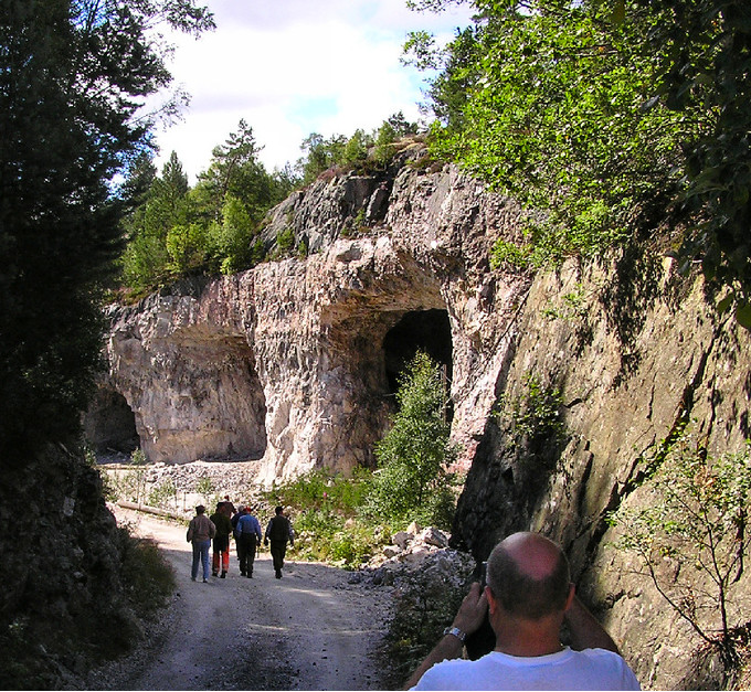


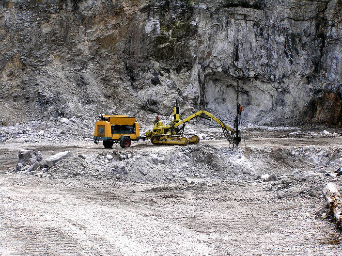


Li 02 Feldspar Quarry, Li, Evje og Hornnes, Agder, Norway