GRN grid region: N16E68
A grid 'square' of approximately 160km x 160km, part of the Global Reference Network of 19,833 grid cells covering the Earth.


Northeast Corner:
24 0'0'' N , 104 48'25'' E ( 24,104.807 )
Southwest Corner:
22 30'0'' N , 103 16'1'' E ( 22.5,103.267 )
Select Mineral List Type
Standard Detailed Gallery Strunz Chemical ElementsCommodity List
This is a list of exploitable or exploited mineral commodities recorded at this locality.Mineral List
140 valid minerals. 1 (TL) - type locality of valid minerals. 1 erroneous literature entry.
Rock Types Recorded
Note: data is currently VERY limited. Please bear with us while we work towards adding this information!
Select Rock List Type
Alphabetical List Tree DiagramLocalities within grid area
- Yunnan
- Chuxiong
- Mouding County
- Dali
- Xiangyun County
- Honghe
- Gejiu City
- Gejiu Sn-polymetallic ore field
- Jinping County
- Mengzi City
- Gejiu City
- ⭔Wenshan
- Li Gian Mine
- ⭔Maguan County
- Malipo County
- ⭔Wenshan City
- Chuxiong
- Yunnan
- Wenshan
- Wenshan City
- ⭔Xichou County
- Yanshan County
- Wenshan
- Lai Châu Province
- Lào Cai Province


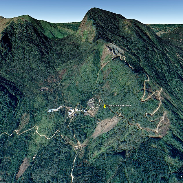
Dayakou emerald mine, Malipo County, Wenshan, Yunnan, China