GRN grid region: N28W47
A grid 'square' of approximately 160km x 160km, part of the Global Reference Network of 19,833 grid cells covering the Earth.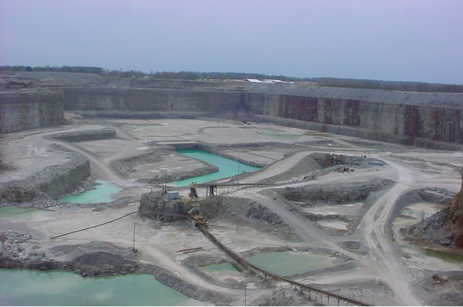
Northeast Corner:
42 0'0'' N , 85 10'12'' W ( 42,-85.17 )
Southwest Corner:
40 30'0'' N , 87 1'18'' W ( 40.5,-87.0217 )
Climate:
Select Mineral List Type
Standard Detailed Gallery Strunz Chemical ElementsCommodity List
This is a list of exploitable or exploited mineral commodities recorded at this locality.Mineral List
33 valid minerals.
Rock Types Recorded
Note: data is currently VERY limited. Please bear with us while we work towards adding this information!
Select Rock List Type
Alphabetical List Tree DiagramLocalities within grid area
- Indiana
- Allen County
- Blackford County
- Harrison Township
- ⭔Carroll County
- ⭔Cass County
- ⭔Elkhart County
- ⭔Fulton County
- ⭔Grant County
- ⭔Huntington County
- ⭔Kosciusko County
- Lagrange County
- ⭔LaPorte County
- ⭔Marshall County
- ⭔Miami County
- Indiana
- Miami County
- ⭔Noble County
- ⭔Pulaski County
- ⭔St. Joseph County
- ⭔Starke County
- ⭔Wabash County
- ⭔Wells County
- ⭔White County
- Whitley County
- Michigan
- ⭔Berrien County
- ⭔Cass County
- Dowagiac
- Lagrange Township
- Poehlman Marl Pit
- Pokagon Township
- Unnamed clay prospect (MRDS - 10170721)
- ⭔St. Joseph County


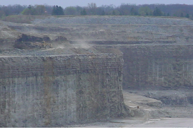
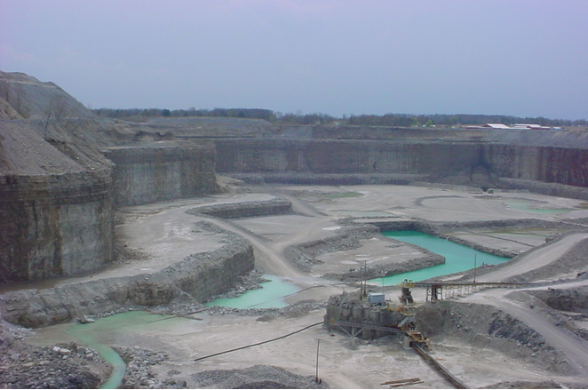
May Stone and Sand Quarry, Allen County, Indiana, USA