GRN grid region: N28W52
A grid 'square' of approximately 160km x 160km, part of the Global Reference Network of 19,833 grid cells covering the Earth.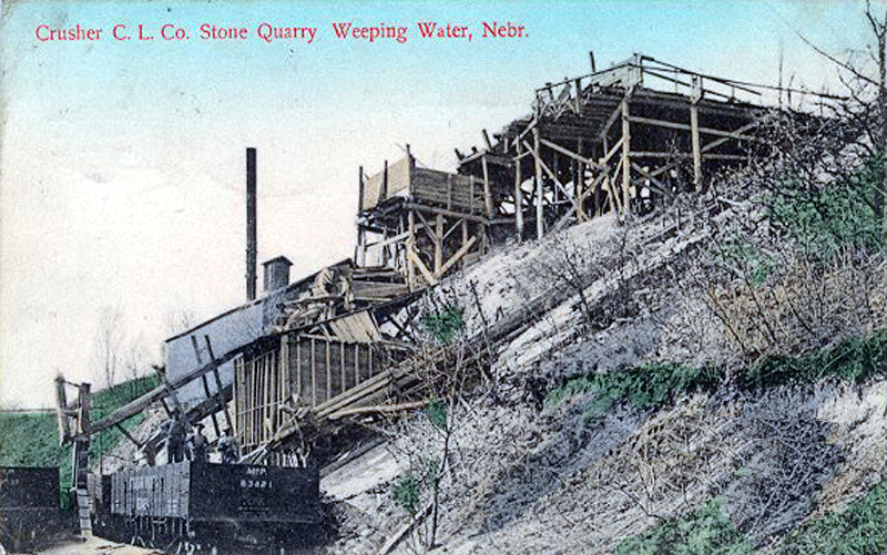


Northeast Corner:
42 0'0'' N , 94 25'41'' W ( 42,-94.4283 )
Southwest Corner:
40 30'0'' N , 96 16'48'' W ( 40.5,-96.28 )
Climate:
Select Mineral List Type
Standard Detailed Gallery Strunz Chemical ElementsCommodity List
This is a list of exploitable or exploited mineral commodities recorded at this locality.Mineral List
16 valid minerals.
Rock Types Recorded
Note: data is currently VERY limited. Please bear with us while we work towards adding this information!
Select Rock List Type
Alphabetical List Tree DiagramLocalities within grid area
- Iowa
- Nebraska
- Nebraska
- Cass County
- Douglas County
- Omaha
- Otoe County
- Sarpy County
- Washington County


Weeping Water, Cass County, Nebraska, USA